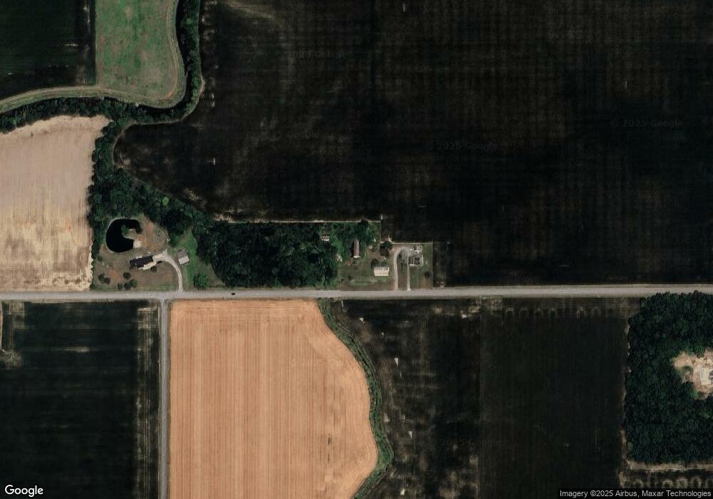
19799 State Rd Delphos, OH 45833
Estimated Value: $162,589 - $305,000
3
Beds
1
Bath
1,920
Sq Ft
$125/Sq Ft
Est. Value
About This Home
This home is located at 19799 State Rd, Delphos, OH 45833 and is currently estimated at $240,147, approximately $125 per square foot. 19799 State Rd is a home located in Van Wert County with nearby schools including Lincolnview Elementary School and Lincolnview Junior/Senior High School.
Ownership History
Date
Name
Owned For
Owner Type
Purchase Details
Closed on
Jun 9, 2023
Sold by
Stutz Tom L and Stutz Christine M
Bought by
Stutz Tom L and Stutz Christine M
Current Estimated Value
Create a Home Valuation Report for This Property
The Home Valuation Report is an in-depth analysis detailing your home's value as well as a comparison with similar homes in the area
Purchase History
| Date | Buyer | Sale Price | Title Company |
|---|---|---|---|
| Stutz Tom L | -- | None Listed On Document | |
| Stutz Tom L | -- | None Listed On Document |
Source: Public Records
Tax History
| Year | Tax Paid | Tax Assessment Tax Assessment Total Assessment is a certain percentage of the fair market value that is determined by local assessors to be the total taxable value of land and additions on the property. | Land | Improvement |
|---|---|---|---|---|
| 2024 | $988 | $40,730 | $12,170 | $28,560 |
| 2023 | $994 | $40,730 | $12,170 | $28,560 |
| 2022 | $901 | $29,290 | $10,330 | $18,960 |
| 2021 | $906 | $29,290 | $10,330 | $18,960 |
| 2020 | $1,272 | $29,290 | $10,330 | $18,960 |
| 2019 | $1,012 | $25,580 | $9,180 | $16,400 |
| 2018 | $999 | $25,580 | $9,180 | $16,400 |
| 2017 | $915 | $25,580 | $9,180 | $16,400 |
| 2016 | $823 | $23,890 | $8,610 | $15,280 |
| 2015 | $810 | $23,890 | $8,610 | $15,280 |
| 2014 | $841 | $23,890 | $8,610 | $15,280 |
| 2013 | $1,013 | $23,890 | $8,610 | $15,280 |
Source: Public Records
Map
Nearby Homes
- 19195 State Rd
- 15044 Main St
- 18906 Bebb St
- 19059 Wittington St
- 112 W Railroad St
- 523 E Jackson St
- TBD Dog Creek Rd
- 21302 Masters Rd
- 708 W 1st St
- 709 W 4th St
- 241 King St
- 420 S Cass St
- 537 / 539 Toomey
- 14998 Middle Point Rd
- 409 N Bredeick St
- 10429 Ohio 66
- 424 S Canal St
- 827 S Washington St
- 221 S Main St
- 483 S Franklin St
- 19621 State Rd
- 19470 State Rd
- 13293 Morgan Rd
- 12837 Middlepoint Wetzel Rd
- 19206 State Rd
- 12664 Middlepoint Wetzel Rd
- 20173 State Rd
- 13326 Middlepoint Wetzel Rd
- 19285 State Rd
- 20192 State Rd
- 19231 State Rd
- 12623 Middlepoint Wetzel Rd
- 19183 State Rd
- 20287 Jennings Delphos Rd
- 12475 Middlepoint Wetzel Rd
- 12429 Middlepoint Wetzel Rd
- 20447 Jennings Delphos Rd
- 18656 State Rd
Your Personal Tour Guide
Ask me questions while you tour the home.