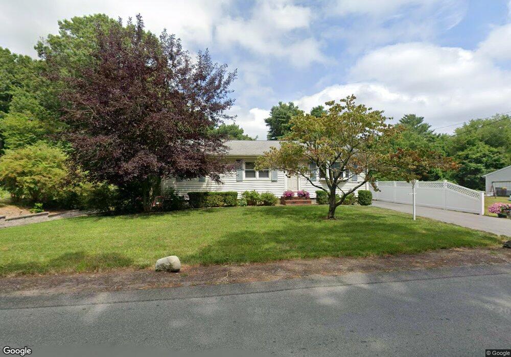
198 1/2 Williams St Taunton, MA 02780
Weir Village NeighborhoodEstimated Value: $422,000 - $508,000
3
Beds
2
Baths
1,176
Sq Ft
$396/Sq Ft
Est. Value
About This Home
This home is located at 198 1/2 Williams St, Taunton, MA 02780 and is currently estimated at $465,977, approximately $396 per square foot. 198 1/2 Williams St is a home located in Bristol County with nearby schools including Elizabeth Pole School, Taunton High School, and John F. Parker Middle School.
Ownership History
Date
Name
Owned For
Owner Type
Purchase Details
Closed on
Nov 11, 2021
Sold by
Baptiste Sandra L and Baptiste William E
Bought by
Baptiste Ft and Baptiste
Current Estimated Value
Create a Home Valuation Report for This Property
The Home Valuation Report is an in-depth analysis detailing your home's value as well as a comparison with similar homes in the area
Home Values in the Area
Average Home Value in this Area
Purchase History
| Date | Buyer | Sale Price | Title Company |
|---|---|---|---|
| Baptiste Ft | -- | None Available |
Source: Public Records
Tax History Compared to Growth
Tax History
| Year | Tax Paid | Tax Assessment Tax Assessment Total Assessment is a certain percentage of the fair market value that is determined by local assessors to be the total taxable value of land and additions on the property. | Land | Improvement |
|---|---|---|---|---|
| 2025 | $4,216 | $385,400 | $124,200 | $261,200 |
| 2024 | $3,951 | $353,100 | $124,200 | $228,900 |
| 2023 | $3,886 | $322,500 | $124,200 | $198,300 |
| 2022 | $3,710 | $281,500 | $103,500 | $178,000 |
| 2021 | $3,657 | $257,500 | $94,100 | $163,400 |
| 2020 | $3,644 | $245,200 | $94,100 | $151,100 |
| 2019 | $3,694 | $234,400 | $94,100 | $140,300 |
| 2018 | $3,460 | $220,100 | $95,100 | $125,000 |
| 2017 | $3,331 | $212,000 | $90,100 | $121,900 |
| 2016 | $3,211 | $204,800 | $87,500 | $117,300 |
| 2015 | $3,040 | $202,500 | $86,900 | $115,600 |
| 2014 | $2,915 | $199,500 | $86,900 | $112,600 |
Source: Public Records
Map
Nearby Homes
- 31 Bruno's Way Unit A
- 147 Colonial Dr
- 218R Hart St Unit B
- 170 Hart St Unit B
- 600 County St Lot A
- 600
- 600 County St
- 26 Maynard St Unit A
- 3 Karena Dr Unit 8
- 55 Donna Terrace
- 25 Johnson St Unit B
- 23 Johnson St Unit C
- 50 Azalea Dr Unit 50
- 28 Barbara Rd
- 96 Old Colony Ave Unit 264
- 15 Carlton St
- 73 Raymond Ave
- 96 Old Colony Ave Unit 227
- 96 Old Colony Ave Unit 318
- 96 Old Colony Ave Unit 158
- 198 Williams St
- 200 Williams St
- 199 Williams St
- 196 Williams St
- 1 Poole St
- 189 Williams St
- 7 Rocky Ridge Cir
- 190 Williams St
- 5 Rocky Ridge Cir
- 14 Rocky Ridge Cir
- 7 Poole St
- 179 Williams St
- 184 Williams St
- 3 Rocky Ridge Cir
- 1 Rocky Ridge Cir
- 31 Bruno's Way
- 172 Williams St
- 194 Indian Meadow Dr Unit B
- 194 Indian Meadow Dr Unit A
- 194-B Indian Meadow Dr