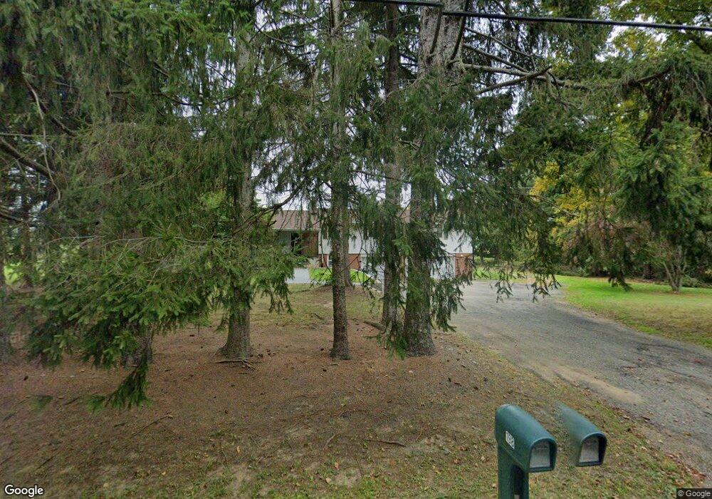
198 Drakestown Rd Hackettstown, NJ 07840
Estimated Value: $535,423 - $665,000
--
Bed
--
Bath
1,856
Sq Ft
$328/Sq Ft
Est. Value
About This Home
This home is located at 198 Drakestown Rd, Hackettstown, NJ 07840 and is currently estimated at $608,606, approximately $327 per square foot. 198 Drakestown Rd is a home located in Morris County with nearby schools including Mt Olive Middle School and Mount Olive High School.
Ownership History
Date
Name
Owned For
Owner Type
Purchase Details
Closed on
Nov 11, 2008
Sold by
Ellis Carol
Bought by
Ellis Carol S
Current Estimated Value
Purchase Details
Closed on
Aug 26, 2005
Sold by
Gadbois Donald A
Bought by
Ellis Carol and Williams William
Home Financials for this Owner
Home Financials are based on the most recent Mortgage that was taken out on this home.
Original Mortgage
$359,000
Outstanding Balance
$191,945
Interest Rate
5.84%
Mortgage Type
New Conventional
Estimated Equity
$416,661
Purchase Details
Closed on
Aug 15, 1994
Sold by
Klenke Walter
Bought by
Gadbois Donald and Gadbois Jennifer
Home Financials for this Owner
Home Financials are based on the most recent Mortgage that was taken out on this home.
Original Mortgage
$150,000
Interest Rate
8.61%
Create a Home Valuation Report for This Property
The Home Valuation Report is an in-depth analysis detailing your home's value as well as a comparison with similar homes in the area
Home Values in the Area
Average Home Value in this Area
Purchase History
| Date | Buyer | Sale Price | Title Company |
|---|---|---|---|
| Ellis Carol S | -- | None Available | |
| Ellis Carol | $489,900 | -- | |
| Gadbois Donald | $190,000 | -- |
Source: Public Records
Mortgage History
| Date | Status | Borrower | Loan Amount |
|---|---|---|---|
| Open | Ellis Carol | $359,000 | |
| Previous Owner | Gadbois Donald | $150,000 |
Source: Public Records
Tax History Compared to Growth
Tax History
| Year | Tax Paid | Tax Assessment Tax Assessment Total Assessment is a certain percentage of the fair market value that is determined by local assessors to be the total taxable value of land and additions on the property. | Land | Improvement |
|---|---|---|---|---|
| 2025 | $11,232 | $322,300 | $163,300 | $159,000 |
| 2024 | $10,594 | $322,300 | $163,300 | $159,000 |
| 2023 | $10,594 | $322,300 | $163,300 | $159,000 |
| 2022 | $10,011 | $322,300 | $163,300 | $159,000 |
| 2021 | $10,011 | $322,300 | $163,300 | $159,000 |
| 2020 | $10,678 | $322,300 | $163,300 | $159,000 |
| 2019 | $10,642 | $322,300 | $163,300 | $159,000 |
| 2018 | $10,539 | $322,300 | $163,300 | $159,000 |
| 2017 | $10,356 | $322,300 | $163,300 | $159,000 |
| 2016 | $10,027 | $322,300 | $163,300 | $159,000 |
| 2015 | $10,262 | $322,300 | $163,300 | $159,000 |
| 2014 | $10,272 | $322,300 | $163,300 | $159,000 |
Source: Public Records
Map
Nearby Homes
- 24 Church Rd
- 13 Church Rd
- 2 Brock Ln
- 96 Winding Hill Dr
- 169 Winding Hill Dr
- 10 Nancy Terrace
- 286 Drakestown Rd
- 14 Kim Ln
- 20 Mine Hill Rd
- 43 Saunders Ln
- 45 Saunders Ln
- 108 U S 46
- 5 Francis Terrace
- 28 Mine Hill Rd
- 16 Whipporwill Rd
- 11 Shadow Hill Way
- 16 Setting Sun Dr
- 55 Saxton Dr
- 33 Saxton Dr
- 12 Hunter Dr
- 199 Drakestown Rd
- 203 Drakestown Rd
- 207 Drakestown Rd
- 211 Drakestown Rd
- 299 Drakestown Rd
- 560 Naughright Rd
- 556 Naughright Rd
- 33 Naughright Rd
- 550 Naughright Rd
- 8 Naughright Rd
- 8 Naughright Rd Unit 1
- 41 Yorkshire Dr
- 3 Yorkshire Dr
- 546 Naughright Rd
- 212 Drakestown Rd
- 544 Naughright Rd
- 2 Yorkshire Dr
- 214 Drakestown Rd
- 208 Drakestown Rd
- 296 Drakestown Rd