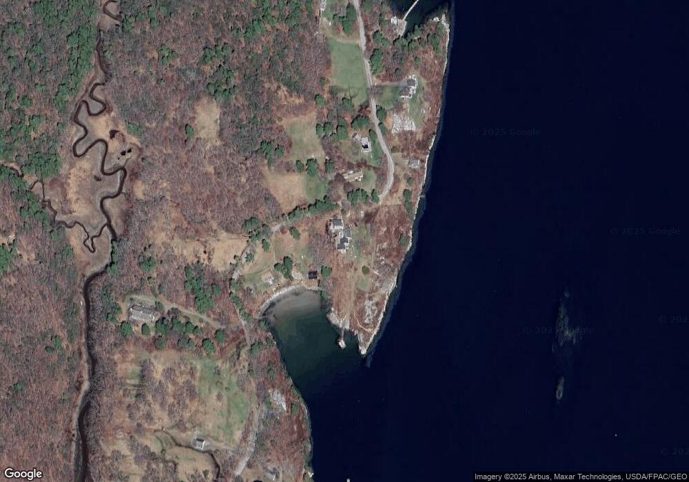
198 E Shore Rd Westport Island, ME 04578
Estimated Value: $652,000 - $1,042,000
2
Beds
1
Bath
3,028
Sq Ft
$302/Sq Ft
Est. Value
About This Home
This home is located at 198 E Shore Rd, Westport Island, ME 04578 and is currently estimated at $914,662, approximately $302 per square foot. 198 E Shore Rd is a home.
Create a Home Valuation Report for This Property
The Home Valuation Report is an in-depth analysis detailing your home's value as well as a comparison with similar homes in the area
Home Values in the Area
Average Home Value in this Area
Tax History Compared to Growth
Tax History
| Year | Tax Paid | Tax Assessment Tax Assessment Total Assessment is a certain percentage of the fair market value that is determined by local assessors to be the total taxable value of land and additions on the property. | Land | Improvement |
|---|---|---|---|---|
| 2025 | $5,799 | $682,245 | $359,824 | $322,421 |
| 2024 | $4,590 | $620,220 | $327,113 | $293,107 |
| 2023 | $3,947 | $602,663 | $323,967 | $278,696 |
| 2022 | $4,100 | $493,987 | $265,547 | $228,440 |
| 2021 | $3,902 | $493,987 | $265,547 | $228,440 |
| 2020 | $4,001 | $493,987 | $265,547 | $228,440 |
| 2019 | $3,690 | $493,987 | $265,547 | $228,440 |
| 2018 | $3,260 | $493,987 | $265,547 | $228,440 |
| 2016 | $3,557 | $493,987 | $265,547 | $228,440 |
| 2014 | $3,696 | $492,101 | $0 | $0 |
| 2013 | $3,399 | $438,551 | $336,241 | $102,310 |
Source: Public Records
Map
Nearby Homes
- 124 Main Rd
- 44-4 Windrush Ln
- M4 L12.30B McCarty Cove Rd
- 119 Knubble Bay Rd
- 92 Brooks Cove Rd
- 23 Sunny Acres Ln
- 0 Maine 144
- 576 Back River Rd
- Lot 45-B Cove Rd
- 91 Tree Farm Dr
- 68 Narrows Way
- 1 Echo Lake Rd
- 712 Back River Rd
- 44 Stone Point Ln
- P/O 4-1 Camerons Point Rd
- 32 Murray Hill Rd
- 19 Riverside Ave
- 302 Townsend Ave
- 693 Wiscasset Rd
- 670 Wiscasset Rd