198 John Scott Blvd Norton, MA 02766
Estimated Value: $635,000 - $763,142
3
Beds
2
Baths
2,448
Sq Ft
$289/Sq Ft
Est. Value
About This Home
This home is located at 198 John Scott Blvd, Norton, MA 02766 and is currently estimated at $708,536, approximately $289 per square foot. 198 John Scott Blvd is a home located in Bristol County with nearby schools including J.C. Solmonese Elementary School, Henri A. Yelle Elementary School, and Norton Middle School.
Ownership History
Date
Name
Owned For
Owner Type
Purchase Details
Closed on
Oct 20, 2015
Sold by
Est Grimes Deborah A and Grimes Joseph C
Bought by
Grimes Alexandria M
Current Estimated Value
Purchase Details
Closed on
Jun 17, 1997
Sold by
Vas Land Corp
Bought by
Grimes James G and Grimes Deborah A
Home Financials for this Owner
Home Financials are based on the most recent Mortgage that was taken out on this home.
Original Mortgage
$136,720
Interest Rate
7.97%
Mortgage Type
Purchase Money Mortgage
Purchase Details
Closed on
Apr 18, 1996
Sold by
Keuthien Nt and Freeman John
Bought by
Vas Land Corp
Purchase Details
Closed on
Mar 12, 1996
Sold by
Keuthien Nt and Freeman John
Bought by
Vas Land Corp
Create a Home Valuation Report for This Property
The Home Valuation Report is an in-depth analysis detailing your home's value as well as a comparison with similar homes in the area
Home Values in the Area
Average Home Value in this Area
Purchase History
| Date | Buyer | Sale Price | Title Company |
|---|---|---|---|
| Grimes Alexandria M | -- | -- | |
| Grimes James G | $155,900 | -- | |
| Vas Land Corp | $50,000 | -- | |
| Vas Land Corp | $50,000 | -- | |
| Vas Land Corp | $50,000 | -- |
Source: Public Records
Mortgage History
| Date | Status | Borrower | Loan Amount |
|---|---|---|---|
| Previous Owner | Vas Land Corp | $205,044 | |
| Previous Owner | Vas Land Corp | $142,500 | |
| Previous Owner | Vas Land Corp | $136,720 |
Source: Public Records
Tax History Compared to Growth
Tax History
| Year | Tax Paid | Tax Assessment Tax Assessment Total Assessment is a certain percentage of the fair market value that is determined by local assessors to be the total taxable value of land and additions on the property. | Land | Improvement |
|---|---|---|---|---|
| 2025 | $82 | $630,200 | $201,900 | $428,300 |
| 2024 | $7,774 | $600,300 | $192,300 | $408,000 |
| 2023 | $7,422 | $571,400 | $181,200 | $390,200 |
| 2022 | $7,223 | $506,500 | $164,700 | $341,800 |
| 2021 | $304,672 | $457,600 | $156,800 | $300,800 |
| 2020 | $6,633 | $448,200 | $152,200 | $296,000 |
| 2019 | $275,797 | $424,300 | $139,400 | $284,900 |
| 2018 | $6,273 | $413,800 | $139,400 | $274,400 |
| 2017 | $6,283 | $408,800 | $139,400 | $269,400 |
| 2016 | $6,057 | $388,000 | $139,400 | $248,600 |
| 2015 | $5,864 | $381,000 | $135,500 | $245,500 |
| 2014 | $5,627 | $366,100 | $129,100 | $237,000 |
Source: Public Records
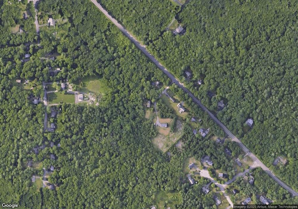
Map
Nearby Homes
- 108 S Worcester St
- 145 S Worcester St
- 225 S Worcester St Unit 1
- 225 S Worcester St Unit 2
- 55 Sturdy St
- 170 S Worcester St Unit 3
- 178 S Worcester St
- 53 Sturdy St
- 26 Dean St
- 48 Dean St
- 127 John Scott Blvd
- 125 John Scott Blvd
- 4 Colonial Dr Unit 4
- 16 Park Ln
- 8 Kasmira Way
- 38 Danielle St
- 75 Barrows St
- 64 Ridgehill Rd
- 73 Butterworth Dr
- 730 Pike Ave
- 196 John Scott Blvd
- 192 John Scott Blvd
- 194 John Scott Blvd
- 190 John Scott Blvd
- 188 John Scott Blvd
- 193 John Scott Blvd
- 191 John Scott Blvd
- 186 John Scott Blvd
- 186 John Scott Blvd Unit 186
- 186 John Scott Blvd Unit 1
- 186 John Scott Blvd Unit House
- 189 John Scott Blvd
- 187 John Scott Blvd
- 5 Greenfield Cir
- 201 John B Scott Blvd
- 201 John Scott Blvd
- 3 Greenfield Cir
- 36 Maple St
- 7 Greenfield Cir
- 185 John Scott Blvd