198 Kay Rd Fayetteville, GA 30214
Estimated Value: $363,967 - $430,000
--
Bed
1
Bath
1,563
Sq Ft
$252/Sq Ft
Est. Value
About This Home
This home is located at 198 Kay Rd, Fayetteville, GA 30214 and is currently estimated at $393,242, approximately $251 per square foot. 198 Kay Rd is a home located in Fayette County with nearby schools including Spring Hill Elementary School, Bennett's Mill Middle School, and Fayette County High School.
Ownership History
Date
Name
Owned For
Owner Type
Purchase Details
Closed on
Dec 5, 2000
Sold by
Lyle Jennifer L and Lyle Russell L
Bought by
Smith Larry L and Smith Elaine G
Current Estimated Value
Home Financials for this Owner
Home Financials are based on the most recent Mortgage that was taken out on this home.
Original Mortgage
$61,900
Outstanding Balance
$22,827
Interest Rate
7.71%
Mortgage Type
New Conventional
Estimated Equity
$370,415
Create a Home Valuation Report for This Property
The Home Valuation Report is an in-depth analysis detailing your home's value as well as a comparison with similar homes in the area
Home Values in the Area
Average Home Value in this Area
Purchase History
| Date | Buyer | Sale Price | Title Company |
|---|---|---|---|
| Smith Larry L | $161,900 | -- |
Source: Public Records
Mortgage History
| Date | Status | Borrower | Loan Amount |
|---|---|---|---|
| Open | Smith Larry L | $61,900 |
Source: Public Records
Tax History Compared to Growth
Tax History
| Year | Tax Paid | Tax Assessment Tax Assessment Total Assessment is a certain percentage of the fair market value that is determined by local assessors to be the total taxable value of land and additions on the property. | Land | Improvement |
|---|---|---|---|---|
| 2024 | $971 | $133,760 | $39,224 | $94,536 |
| 2023 | $971 | $121,540 | $33,500 | $88,040 |
| 2022 | $841 | $112,684 | $29,204 | $83,480 |
| 2021 | $648 | $88,380 | $26,340 | $62,040 |
| 2020 | $631 | $83,704 | $25,704 | $58,000 |
| 2019 | $613 | $80,464 | $25,704 | $54,760 |
| 2018 | $557 | $73,552 | $22,912 | $50,640 |
| 2017 | $530 | $69,312 | $22,352 | $46,960 |
| 2016 | $506 | $63,512 | $22,352 | $41,160 |
| 2015 | $488 | $59,832 | $22,352 | $37,480 |
| 2014 | $1,640 | $55,912 | $22,352 | $33,560 |
| 2013 | -- | $55,912 | $0 | $0 |
Source: Public Records
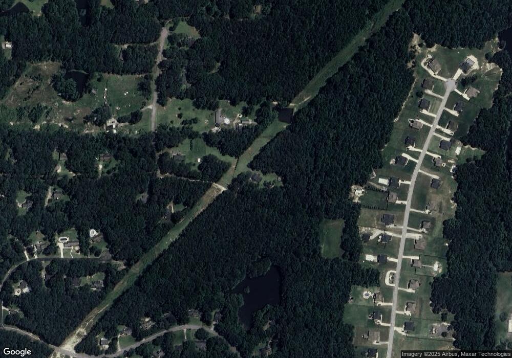
Map
Nearby Homes
- 170 Pleasant Point Way
- 175 Oak Manor
- 125 Oak Knoll Unit 1
- 150 Oak Manor
- 110 4th St
- 135 Pamela Ct
- 115 Bre Dr
- Clarity Plan at Riverbend Overlook
- Henry II Plan at Riverbend Overlook
- 110 Bre Dr
- Emerson II Plan at Riverbend Overlook
- Rosemary II Plan at Riverbend Overlook
- 151 County Line Rd
- 185 Central Ave
- 140 Deer Forest Trail
- 120 Cooper Cove E
- 120 Cooper Cove W
- 145 Cooper Cove E
- 160 Cooper Cove W
- 111 Judy Ln
- 105 Judy Ln
- 185 Kay Rd
- 0 Kay Rd Unit 8550847
- 0 Kay Rd Unit 8371661
- 0 Kay Rd Unit 7342399
- 0 Kay Rd Unit 9054769
- 0 Kay Rd Unit 7273446
- 0 Kay Rd Unit 7355376
- 0 Kay Rd Unit 7470645
- 181 Kay Rd
- 181 Kay Rd Unit 150
- 127 Judy Ln
- 0 Judy Ln Unit 8873968
- 0 Judy Ln Unit 8500407
- 0 Judy Ln
- 215 Felton Dr
- 310 Rocky Fork Blvd
- 205 Felton Dr
- 290 Rocky Fork Blvd