Estimated Value: $504,000 - $603,000
2
Beds
3
Baths
1,608
Sq Ft
$332/Sq Ft
Est. Value
About This Home
This home is located at 198 Lemonton Way, Wayne, PA 19087 and is currently estimated at $534,213, approximately $332 per square foot. 198 Lemonton Way is a home located in Montgomery County with nearby schools including Roberts Elementary School, Upper Merion Middle School, and Upper Merion High School.
Ownership History
Date
Name
Owned For
Owner Type
Purchase Details
Closed on
Nov 9, 1999
Sold by
Pearlstein James R and Pearlstein Karen D
Bought by
Connelly Diane P
Current Estimated Value
Purchase Details
Closed on
Jun 17, 1998
Sold by
Pearlstein Philip and Pearlstein James R
Bought by
Pearlstein James R and Pearlstein Karen D
Purchase Details
Closed on
Nov 30, 1995
Sold by
K Hovnanian At Upper Merion Inc
Bought by
Pearlstein James R and Brodack Karen D
Create a Home Valuation Report for This Property
The Home Valuation Report is an in-depth analysis detailing your home's value as well as a comparison with similar homes in the area
Home Values in the Area
Average Home Value in this Area
Purchase History
| Date | Buyer | Sale Price | Title Company |
|---|---|---|---|
| Connelly Diane P | $220,000 | -- | |
| Pearlstein James R | -- | -- | |
| Pearlstein James R | $224,696 | -- |
Source: Public Records
Tax History Compared to Growth
Tax History
| Year | Tax Paid | Tax Assessment Tax Assessment Total Assessment is a certain percentage of the fair market value that is determined by local assessors to be the total taxable value of land and additions on the property. | Land | Improvement |
|---|---|---|---|---|
| 2025 | $6,092 | $197,680 | $48,110 | $149,570 |
| 2024 | $6,092 | $197,680 | $48,110 | $149,570 |
| 2023 | $5,877 | $197,680 | $48,110 | $149,570 |
| 2022 | $5,625 | $197,680 | $48,110 | $149,570 |
| 2021 | $5,450 | $197,680 | $48,110 | $149,570 |
| 2020 | $5,208 | $197,680 | $48,110 | $149,570 |
| 2019 | $5,120 | $197,680 | $48,110 | $149,570 |
| 2018 | $5,120 | $197,680 | $48,110 | $149,570 |
| 2017 | $4,936 | $197,680 | $48,110 | $149,570 |
| 2016 | $4,859 | $197,680 | $48,110 | $149,570 |
| 2015 | $4,679 | $197,680 | $48,110 | $149,570 |
| 2014 | $4,679 | $197,680 | $48,110 | $149,570 |
Source: Public Records
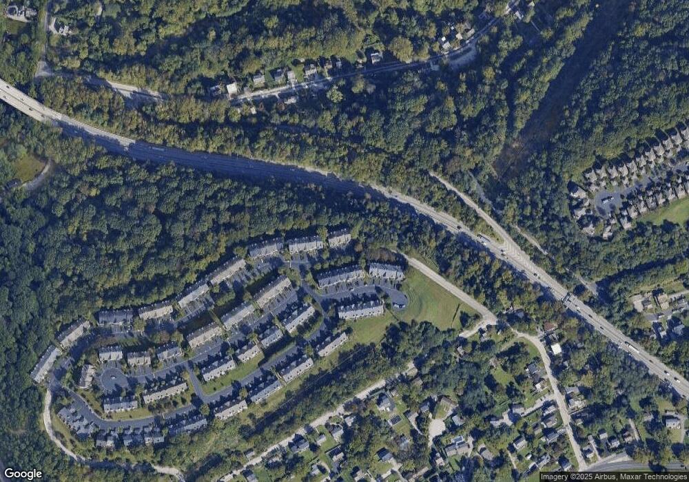
Map
Nearby Homes
- 223 Rebel Hill Rd
- 235 Valley Forge Lookout Place
- 1196 Rebel Hill Rd
- 105 Timothy Cir
- 1212 Lemonton Ct
- 117 Arden Rd
- 2 Arden Rd
- 4 Arden Rd
- 258 Tennessee Ave
- Lot 1 Arden Rd
- Lot 3 Arden Rd
- 188 Arden Rd
- 123 Gypsy Ln
- 161 Lantern Ln
- 156 Gypsy Ln
- 628 Ford St
- 190 Pine Tree Rd
- 627 Ford St
- 305 Highview Dr
- 607 Apple St
- 196 Lemonton Way Unit 9B
- 200 Lemonton Way Unit D9
- 194 Lemonton Way
- 192 Lemonton Way Unit 8F
- 190 Lemonton Way Unit E
- 188 Lemonton Way
- 282 Militia Dr Unit 11F
- 280 Militia Dr Unit 11E
- 286 Militia Dr
- 278 Militia Dr
- 186 Lemonton Way
- 276 Militia Dr
- 288 Militia Dr
- 274 Militia Dr
- 184 Lemonton Way
- 290 Militia Dr Unit 10B
- 182 Lemonton Way
- 292 Militia Dr Unit C10
- 294 Militia Dr Unit D10
- 180 Lemonton Way