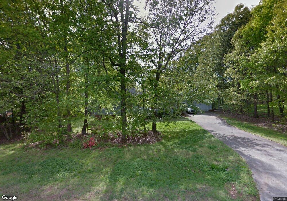
198 Link Dr Iron Station, NC 28080
Estimated Value: $281,286 - $347,000
3
Beds
2
Baths
1,281
Sq Ft
$235/Sq Ft
Est. Value
About This Home
This home is located at 198 Link Dr, Iron Station, NC 28080 and is currently estimated at $301,072, approximately $235 per square foot. 198 Link Dr is a home located in Lincoln County with nearby schools including Iron Station Elementary School, East Lincoln Middle School, and East Lincoln High School.
Ownership History
Date
Name
Owned For
Owner Type
Purchase Details
Closed on
Nov 28, 2007
Sold by
Progressive Properties Group Llc
Bought by
Atkinson Daryl B
Current Estimated Value
Home Financials for this Owner
Home Financials are based on the most recent Mortgage that was taken out on this home.
Original Mortgage
$140,593
Outstanding Balance
$89,265
Interest Rate
6.36%
Mortgage Type
FHA
Estimated Equity
$211,807
Purchase Details
Closed on
Jan 24, 2007
Sold by
Mcrae Joe F and Mcrae Michelle R
Bought by
Progressive Properties Group Inc
Purchase Details
Closed on
Jan 30, 1998
Bought by
Mcrae Joe F and Mcrae Shelly
Purchase Details
Closed on
Apr 1, 1993
Bought by
Ricker Jeffrey Scott and Kristen Jone
Purchase Details
Closed on
Sep 24, 1992
Bought by
Grace Gary C and Laura Lynn Grace
Purchase Details
Closed on
Apr 23, 1992
Bought by
K & K Builders Inc
Purchase Details
Closed on
Apr 15, 1991
Bought by
Abernethy Realty, Inc.
Create a Home Valuation Report for This Property
The Home Valuation Report is an in-depth analysis detailing your home's value as well as a comparison with similar homes in the area
Purchase History
| Date | Buyer | Sale Price | Title Company |
|---|---|---|---|
| Atkinson Daryl B | $143,000 | None Available | |
| Progressive Properties Group Inc | $102,900 | None Available | |
| Mcrae Joe F | $93,500 | -- | |
| Ricker Jeffrey Scott | $68,000 | -- | |
| Grace Gary C | $68,000 | -- | |
| K & K Builders Inc | $7,500 | -- | |
| Abernethy Realty, Inc. | $100,000 | -- |
Source: Public Records
Mortgage History
| Date | Status | Borrower | Loan Amount |
|---|---|---|---|
| Open | Atkinson Daryl B | $140,593 |
Source: Public Records
Tax History
| Year | Tax Paid | Tax Assessment Tax Assessment Total Assessment is a certain percentage of the fair market value that is determined by local assessors to be the total taxable value of land and additions on the property. | Land | Improvement |
|---|---|---|---|---|
| 2025 | $1,580 | $230,736 | $29,000 | $201,736 |
| 2024 | $1,560 | $230,736 | $29,000 | $201,736 |
| 2023 | $1,555 | $230,736 | $29,000 | $201,736 |
| 2022 | $1,169 | $141,729 | $24,000 | $117,729 |
| 2021 | $1,169 | $141,729 | $24,000 | $117,729 |
| 2020 | $1,026 | $141,729 | $24,000 | $117,729 |
| 2019 | $998 | $141,729 | $24,000 | $117,729 |
| 2018 | $929 | $115,706 | $22,000 | $93,706 |
| 2017 | $823 | $115,706 | $22,000 | $93,706 |
| 2016 | $823 | $115,706 | $22,000 | $93,706 |
| 2015 | $892 | $115,706 | $22,000 | $93,706 |
| 2014 | $994 | $131,974 | $22,000 | $109,974 |
Source: Public Records
Map
Nearby Homes
- 000 N Carolina 73
- 4432 E Highway 27
- 341 Camp Creek Rd
- 00 Southmont Rd
- 853 Spring Lake Dr
- 914 Spring Lake Dr
- 141 Woodward Way
- 3052 Chestnut Rd
- 3132 Fox Den Cir
- 2595 Southmont Rd
- 575 Hill Rd
- 3170 Asbury Church Rd
- 370 Sherrill Farm Rd
- 1481 Depot St
- 1404 Old Mill Rd
- lot 22 Weatherwood Dr Unit 22
- 1520 Weatherwood Dr
- 2515 Myra Ln
- 2983 Tavistock Ln
- 2596 Prince Dr
Your Personal Tour Guide
Ask me questions while you tour the home.