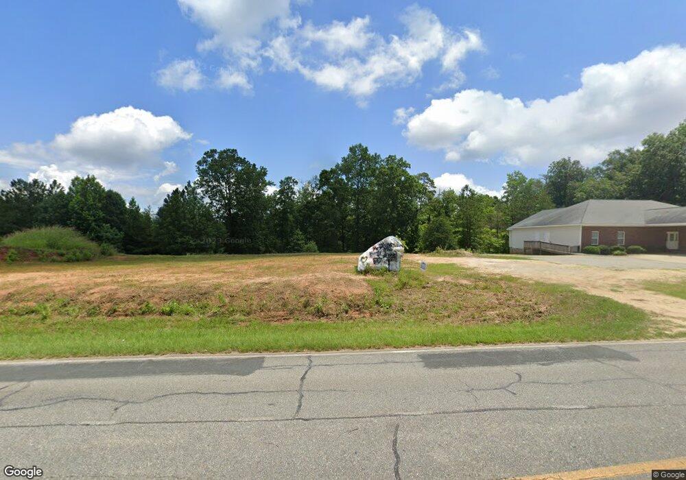
198 Log Cabin Rd NE Milledgeville, GA 31061
Estimated Value: $106,179
--
Bed
--
Bath
--
Sq Ft
1.81
Acres
About This Home
This home is located at 198 Log Cabin Rd NE, Milledgeville, GA 31061 and is currently estimated at $106,179. 198 Log Cabin Rd NE is a home located in Baldwin County with nearby schools including Lakeview Primary, Lakeview Academy, and Oak Hill Middle School.
Ownership History
Date
Name
Owned For
Owner Type
Purchase Details
Closed on
Nov 3, 2016
Sold by
Moorman Jeanie B
Bought by
Walden Bobby and Walden Jennifer
Current Estimated Value
Purchase Details
Closed on
Dec 13, 2010
Sold by
Century Bank & Trust
Bought by
Moormon Jeanie B
Purchase Details
Closed on
Jul 7, 2010
Sold by
Binion Robert C
Bought by
Century Bank & Trust
Purchase Details
Closed on
Jun 22, 2005
Sold by
Mccabe Michael Joseph
Bought by
Binion Robert C
Purchase Details
Closed on
Feb 28, 2002
Sold by
Hadid David
Bought by
Hatfield Otis
Purchase Details
Closed on
Apr 28, 1998
Sold by
Linstead Inc
Bought by
Hadid David
Purchase Details
Closed on
Feb 1, 1994
Bought by
Linstead Inc
Create a Home Valuation Report for This Property
The Home Valuation Report is an in-depth analysis detailing your home's value as well as a comparison with similar homes in the area
Home Values in the Area
Average Home Value in this Area
Purchase History
| Date | Buyer | Sale Price | Title Company |
|---|---|---|---|
| Walden Bobby | $50,000 | -- | |
| Moormon Jeanie B | $38,650 | -- | |
| Century Bank & Trust | -- | -- | |
| Binion Robert C | $52,500 | -- | |
| Hatfield Otis | $70,000 | -- | |
| Hadid David | $82,500 | -- | |
| Linstead Inc | $2,500 | -- |
Source: Public Records
Tax History Compared to Growth
Tax History
| Year | Tax Paid | Tax Assessment Tax Assessment Total Assessment is a certain percentage of the fair market value that is determined by local assessors to be the total taxable value of land and additions on the property. | Land | Improvement |
|---|---|---|---|---|
| 2025 | $529 | $21,720 | $21,720 | $0 |
| 2024 | $529 | $21,720 | $21,720 | $0 |
| 2023 | $441 | $18,100 | $18,100 | $0 |
| 2022 | $466 | $18,100 | $18,100 | $0 |
| 2021 | $491 | $18,080 | $18,080 | $0 |
| 2020 | $485 | $18,080 | $18,080 | $0 |
| 2019 | $486 | $18,080 | $18,080 | $0 |
| 2018 | $493 | $18,080 | $18,080 | $0 |
| 2017 | $461 | $18,080 | $18,080 | $0 |
| 2016 | $457 | $17,000 | $17,000 | $0 |
| 2015 | $458 | $17,000 | $17,000 | $0 |
| 2014 | $459 | $17,000 | $17,000 | $0 |
Source: Public Records
Map
Nearby Homes
- 350 Log Cabin Rd NE
- 165 Log Cabin Rd NE
- 103 Water Ridge Dr
- 156 Log Cabin Rd NE
- 111 Milledge Commons Dr
- 117 Milledge Commons Dr
- 109 Milledge Commons Dr
- 105 Milledge Commons Dr
- 119 Milledge Commons Dr
- 113 Milledge Commons Dr
- Banneker Plan at Milledge Commons
- Smyrna Plan at Milledge Commons
- Hawkins Plan at Milledge Commons
- 105 Waterford Ct
- 241 Southern Walk Dr
- 200 Log Cabin Rd NE
- 204 Log Cabin Rd NE
- 109 Airport Rd NE
- 113 Airport Rd NE
- 111 Airport Rd NE
- 212 Log Cabin Rd NE
- 107 Airport Rd NE Unit 6
- 107 Airport Rd NE
- 214 Log Cabin Rd NE
- 114 Airport Rd NE
- 114 Airport Rd NE Unit 78
- 117 Airport Rd NE
- 110 Airport Rd NE
- 118 Airport Rd NE
- 106 Airport Rd NE
- 216 Log Cabin Rd NE
- 120 Airport Rd NE
- 212 Hudson Dr NE
- 152 Quail Place
- 210 Hudson Dr NE