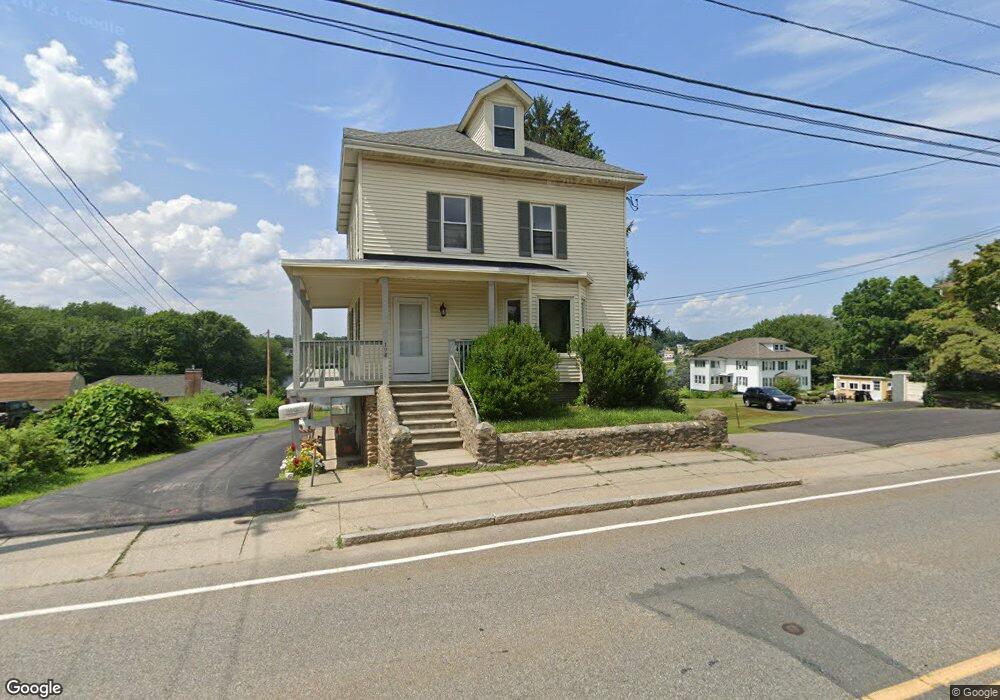
198 Main St Clinton, MA 01510
Estimated Value: $368,000 - $449,469
5
Beds
2
Baths
1,656
Sq Ft
$243/Sq Ft
Est. Value
About This Home
This home is located at 198 Main St, Clinton, MA 01510 and is currently estimated at $401,867, approximately $242 per square foot. 198 Main St is a home located in Worcester County with nearby schools including Clinton Senior High School, Clinton Elementary School, and Clinton Middle School.
Ownership History
Date
Name
Owned For
Owner Type
Purchase Details
Closed on
Oct 30, 2025
Sold by
Alessandrini John and Alessandrini Mary R
Bought by
Alessandrini Ft and Alessandrini
Current Estimated Value
Purchase Details
Closed on
Jan 6, 2014
Sold by
Alessandrini Dominic and Alessandrini Rita I
Bought by
Alessandrini John and Alessandrini Mary R
Home Financials for this Owner
Home Financials are based on the most recent Mortgage that was taken out on this home.
Original Mortgage
$180,000
Interest Rate
4.24%
Mortgage Type
New Conventional
Purchase Details
Closed on
Nov 8, 1996
Sold by
Alessandrini Rita
Bought by
Clayfield Johnathan and Clayfield Donna A
Home Financials for this Owner
Home Financials are based on the most recent Mortgage that was taken out on this home.
Original Mortgage
$122,400
Interest Rate
8.1%
Mortgage Type
Purchase Money Mortgage
Create a Home Valuation Report for This Property
The Home Valuation Report is an in-depth analysis detailing your home's value as well as a comparison with similar homes in the area
Home Values in the Area
Average Home Value in this Area
Purchase History
We collect this data history from publicly available records. To have your information removed, we recommend requesting removal directly through your county’s website.
| Date | Buyer | Sale Price | Title Company |
|---|---|---|---|
| Alessandrini Ft | -- | -- | |
| Alessandrini John | $180,000 | -- | |
| Clayfield Johnathan | $153,000 | -- |
Source: Public Records
Mortgage History
We collect this data history from publicly available records. To have your information removed, we recommend requesting removal directly through your county’s website.
| Date | Status | Borrower | Loan Amount |
|---|---|---|---|
| Previous Owner | Clayfield Johnathan | $180,000 | |
| Previous Owner | Clayfield Johnathan | $122,400 |
Source: Public Records
Tax History
| Year | Tax Paid | Tax Assessment Tax Assessment Total Assessment is a certain percentage of the fair market value that is determined by local assessors to be the total taxable value of land and additions on the property. | Land | Improvement |
|---|---|---|---|---|
| 2025 | $5,593 | $420,500 | $82,000 | $338,500 |
| 2024 | $4,962 | $377,600 | $82,000 | $295,600 |
| 2023 | $4,688 | $350,600 | $74,500 | $276,100 |
| 2022 | $4,689 | $314,500 | $67,700 | $246,800 |
| 2021 | $4,128 | $259,000 | $64,500 | $194,500 |
| 2020 | $3,930 | $253,700 | $64,500 | $189,200 |
| 2019 | $3,702 | $232,400 | $62,600 | $169,800 |
| 2018 | $3,630 | $213,800 | $70,400 | $143,400 |
| 2017 | $3,432 | $194,200 | $58,700 | $135,500 |
| 2016 | $3,354 | $194,200 | $58,700 | $135,500 |
| 2015 | $3,070 | $184,300 | $57,000 | $127,300 |
| 2014 | $2,976 | $184,300 | $57,000 | $127,300 |
Source: Public Records
Map
Nearby Homes
- 23 Winthrop St
- 146 S Main St Unit 1D
- 386 Main St
- 190 Grove St
- 212 Grove St
- 112 School St
- 6 Nelson St
- 40 Nashua St Unit 3
- 115117 Mechanic St Unit 4
- 115117 Mechanic St
- 115117 Mechanic St Unit 3
- 18 Eagle Nest Unit 444
- 129 High St
- 55 Sterling St Unit 306
- 55 Sterling St Unit 314
- 55 Sterling St Unit 208
- 55 Sterling St Unit 305
- 454 Wilson St
- 51 Rigby St
- 719 Main St
- 198 Main St Unit 1
- 198 Main St Unit 2
- 198 Main St Unit LL
- 198 Main St Unit UL
- 190 Main St
- 190 Main St Unit 2
- 190 Main St Unit 1st Floor
- 190 Main St Unit 1
- 190 Main St Unit Lower Level
- 210 Main St
- 197 S Main St Unit 4
- 197 S Main St Unit 5
- 207 Main St
- 180 Main St
- 196 Main St
- 46 Main St
- 200 Main St
- 177 Main St Unit 4
- 13 Winthrop St
- 216 Main St
Your Personal Tour Guide
Ask me questions while you tour the home.