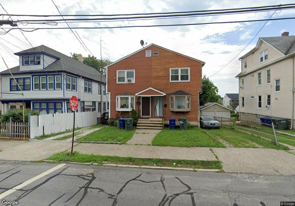
198 Monroe St Bridgeport, CT 06605
Black Rock NeighborhoodEstimated Value: $347,000 - $403,144
3
Beds
2
Baths
1,240
Sq Ft
$296/Sq Ft
Est. Value
About This Home
This home is located at 198 Monroe St, Bridgeport, CT 06605 and is currently estimated at $367,536, approximately $296 per square foot. 198 Monroe St is a home located in Fairfield County with nearby schools including Bassick High School, Park City Prep Charter School, and Great Oaks Charter School Bridgeport.
Ownership History
Date
Name
Owned For
Owner Type
Purchase Details
Closed on
Mar 12, 1987
Sold by
Apa Constr Inc
Bought by
Fable Charles
Current Estimated Value
Home Financials for this Owner
Home Financials are based on the most recent Mortgage that was taken out on this home.
Original Mortgage
$99,000
Interest Rate
9.01%
Mortgage Type
Purchase Money Mortgage
Create a Home Valuation Report for This Property
The Home Valuation Report is an in-depth analysis detailing your home's value as well as a comparison with similar homes in the area
Home Values in the Area
Average Home Value in this Area
Purchase History
| Date | Buyer | Sale Price | Title Company |
|---|---|---|---|
| Fable Charles | $110,000 | -- |
Source: Public Records
Mortgage History
| Date | Status | Borrower | Loan Amount |
|---|---|---|---|
| Closed | Fable Charles | $99,000 |
Source: Public Records
Tax History
| Year | Tax Paid | Tax Assessment Tax Assessment Total Assessment is a certain percentage of the fair market value that is determined by local assessors to be the total taxable value of land and additions on the property. | Land | Improvement |
|---|---|---|---|---|
| 2025 | $6,301 | $145,010 | $48,720 | $96,290 |
| 2024 | $6,301 | $145,010 | $48,720 | $96,290 |
| 2023 | $6,301 | $145,010 | $48,720 | $96,290 |
| 2022 | $6,301 | $145,010 | $48,720 | $96,290 |
| 2021 | $6,301 | $145,010 | $48,720 | $96,290 |
| 2020 | $4,711 | $87,260 | $24,610 | $62,650 |
| 2019 | $4,711 | $87,260 | $24,610 | $62,650 |
| 2018 | $4,744 | $87,260 | $24,610 | $62,650 |
| 2017 | $4,744 | $87,260 | $24,610 | $62,650 |
| 2016 | $4,744 | $87,260 | $24,610 | $62,650 |
| 2015 | $4,702 | $111,420 | $25,320 | $86,100 |
| 2014 | $4,702 | $111,420 | $25,320 | $86,100 |
Source: Public Records
Map
Nearby Homes
- 188 Monroe St Unit 190
- 22 Monroe St Unit 24
- 25 Whittier St
- 31 Whittier St
- 287 Hansen Ave
- 117 Nash Ln
- 78 Rowsley St Unit 4
- 37 Rowsley St Unit 6
- 20 Haddon St Unit 5
- 148 Alfred St
- 27 Nash Ln Unit 5
- 554 Brewster St Unit 4
- 65 Ellsworth St Unit 302
- 855 Brewster St Unit 857
- 95 Bedford Ave
- 165 Bennett St
- 318 Grovers Ave
- 132 Gilman St
- 145 Brentwood Ave
- 156 Halley Ave
- 190 Monroe St
- 200 Monroe St
- 204 Monroe St Unit 206
- 180 Monroe St Unit 182
- 169 Hope St Unit 171
- 169 Hope St Unit 169 Hope Street 3rd
- 169 Hope St Unit 2
- 218 Monroe St
- 187 Monroe St
- 166 Monroe St
- 168 Monroe St Unit 170
- 231 Monroe St
- 179 Monroe St Unit 181
- 179 Monroe St Unit 3
- 215 Monroe St Unit 217
- 143 Hope St
- 225 Monroe St Unit 227
- 224 Monroe St
- 224 Monroe St Unit 2
- 137 Hope St
Your Personal Tour Guide
Ask me questions while you tour the home.