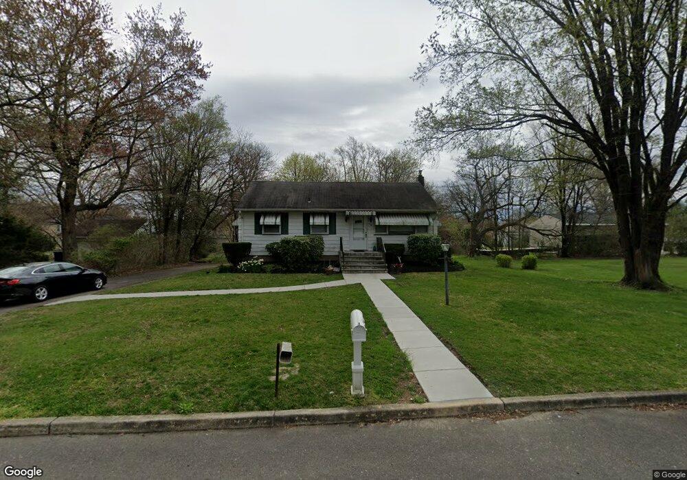
198 Perry Ave Moorestown, NJ 08057
Estimated Value: $374,165 - $492,000
--
Bed
--
Bath
1,456
Sq Ft
$290/Sq Ft
Est. Value
About This Home
This home is located at 198 Perry Ave, Moorestown, NJ 08057 and is currently estimated at $422,791, approximately $290 per square foot. 198 Perry Ave is a home located in Burlington County with nearby schools including George C. Baker Elementary School, Moorestown Upper Elementary School, and William Allen Middle School.
Ownership History
Date
Name
Owned For
Owner Type
Purchase Details
Closed on
Aug 30, 1999
Sold by
Gaines Helen and Stout Thelma
Bought by
Robinson Helena E
Current Estimated Value
Home Financials for this Owner
Home Financials are based on the most recent Mortgage that was taken out on this home.
Original Mortgage
$97,755
Outstanding Balance
$28,603
Interest Rate
7.65%
Estimated Equity
$394,188
Create a Home Valuation Report for This Property
The Home Valuation Report is an in-depth analysis detailing your home's value as well as a comparison with similar homes in the area
Home Values in the Area
Average Home Value in this Area
Purchase History
| Date | Buyer | Sale Price | Title Company |
|---|---|---|---|
| Robinson Helena E | $102,900 | Surety Title Corporation |
Source: Public Records
Mortgage History
| Date | Status | Borrower | Loan Amount |
|---|---|---|---|
| Open | Robinson Helena E | $97,755 |
Source: Public Records
Tax History Compared to Growth
Tax History
| Year | Tax Paid | Tax Assessment Tax Assessment Total Assessment is a certain percentage of the fair market value that is determined by local assessors to be the total taxable value of land and additions on the property. | Land | Improvement |
|---|---|---|---|---|
| 2025 | $6,057 | $213,500 | $143,600 | $69,900 |
| 2024 | $5,873 | $213,500 | $143,600 | $69,900 |
| 2023 | $5,873 | $213,500 | $143,600 | $69,900 |
| 2022 | $5,814 | $213,500 | $143,600 | $69,900 |
| 2021 | $5,737 | $213,500 | $143,600 | $69,900 |
| 2020 | $5,700 | $213,500 | $143,600 | $69,900 |
| 2019 | $5,600 | $213,500 | $143,600 | $69,900 |
| 2018 | $4,772 | $187,000 | $143,600 | $43,400 |
| 2017 | $4,813 | $187,000 | $143,600 | $43,400 |
| 2016 | $4,797 | $187,000 | $143,600 | $43,400 |
| 2015 | $4,739 | $187,000 | $143,600 | $43,400 |
| 2014 | $4,499 | $187,000 | $143,600 | $43,400 |
Source: Public Records
Map
Nearby Homes
- 316 Farmdale Rd
- 543 Bethel Ave
- 420 Park Blvd
- 493 N Church St
- 803 Fernwood Rd
- 313 Fairview Ave
- 111 Flynn Ave
- 25 Oriole Way
- 1 Circle Dr
- 8 E Oak Ave
- 10 Longwood Ln
- 739 Lippincott Ave
- 400 Kings Hwy
- 5 Collins Mill Ct
- 47 Eraser Rd
- 8 Collins Mill Ct
- 12 Greenvale Rd
- 136 Chalkboard Ct
- 206 E Camden Ave
- 15 E 2nd St
- 192 Perry Ave
- 705 N Church St
- 195 Stanley Ave
- 703 N Church St
- 191 Stanley Ave
- 195 Perry Ave
- 191 Perry Ave
- 197 Stanley Ave
- 199 Perry Ave
- 188 Perry Ave
- 187 Stanley Ave
- 1101 N Church St
- 701 N Church St
- 187 Perry Ave
- 186 Perry Ave
- 1103 N Church St
- 183 Stanley Ave
- 183 Perry Ave
- 192 Rockland Ave
- 200 Stanley Ave