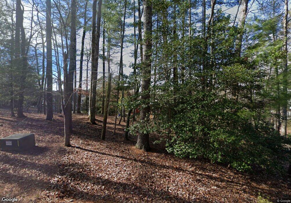
198 Point Dr Clarkesville, GA 30523
Estimated Value: $1,631,000 - $3,090,000
4
Beds
4
Baths
3,710
Sq Ft
$654/Sq Ft
Est. Value
About This Home
This home is located at 198 Point Dr, Clarkesville, GA 30523 and is currently estimated at $2,424,714, approximately $653 per square foot. 198 Point Dr is a home with nearby schools including Rabun County Primary School and Rabun County High School.
Ownership History
Date
Name
Owned For
Owner Type
Purchase Details
Closed on
Nov 17, 2017
Sold by
Jack Attack Investment Grp
Bought by
Longo William E and Jackson Deborah L
Current Estimated Value
Home Financials for this Owner
Home Financials are based on the most recent Mortgage that was taken out on this home.
Original Mortgage
$782,000
Outstanding Balance
$645,882
Interest Rate
3.5%
Mortgage Type
New Conventional
Estimated Equity
$1,778,832
Purchase Details
Closed on
Apr 1, 2008
Sold by
Not Provided
Bought by
Jack Attack Investment Group L
Purchase Details
Closed on
Sep 1, 2002
Create a Home Valuation Report for This Property
The Home Valuation Report is an in-depth analysis detailing your home's value as well as a comparison with similar homes in the area
Home Values in the Area
Average Home Value in this Area
Purchase History
| Date | Buyer | Sale Price | Title Company |
|---|---|---|---|
| Longo William E | -- | -- | |
| Longo William E | -- | -- | |
| Jack Attack Investment Group L | $1,550,000 | -- | |
| Jack Attack Investment Group L | $1,550,000 | -- | |
| -- | $500,000 | -- | |
| -- | $500,000 | -- |
Source: Public Records
Mortgage History
| Date | Status | Borrower | Loan Amount |
|---|---|---|---|
| Open | Longo William E | $782,000 | |
| Closed | Longo William E | $782,000 |
Source: Public Records
Tax History Compared to Growth
Tax History
| Year | Tax Paid | Tax Assessment Tax Assessment Total Assessment is a certain percentage of the fair market value that is determined by local assessors to be the total taxable value of land and additions on the property. | Land | Improvement |
|---|---|---|---|---|
| 2025 | $11,052 | $688,597 | $390,000 | $298,597 |
| 2024 | $10,819 | $674,098 | $390,000 | $284,098 |
| 2023 | $10,184 | $556,395 | $312,000 | $244,395 |
| 2022 | $9,981 | $545,304 | $312,000 | $233,304 |
| 2021 | $9,106 | $485,652 | $273,000 | $212,652 |
| 2020 | $9,326 | $480,820 | $273,000 | $207,820 |
| 2019 | $9,392 | $480,820 | $273,000 | $207,820 |
| 2018 | $9,324 | $475,620 | $267,800 | $207,820 |
| 2017 | $8,795 | $467,820 | $260,000 | $207,820 |
| 2016 | $8,819 | $467,820 | $260,000 | $207,820 |
| 2015 | $8,964 | $465,487 | $260,000 | $205,487 |
| 2014 | $9,056 | $467,768 | $260,000 | $207,768 |
Source: Public Records
Map
Nearby Homes
- 4960 Laurel Lodge #41 Rd
- 4960 Laurel Lodge Rd Unit 1
- 4960 Laurel Lodge Rd Unit 46
- 4960 Laurel Lodge Rd Unit LOT 29
- 4960 Laurel Lodge Rd Unit LOT 3
- 4960 Laurel Lodge Rd Unit LOT 21
- 4960 Laurel Lodge Rd Unit LOT 18
- 4960 Laurel Lodge Rd Unit LOT 2
- 220 Brookwood Ln
- 341 Brookwood Ln
- 326 Fulton Rd
- 0 Benfield Ln Unit 10655737
- 188 Fulton Rd
- 9406 Bridge Creek Rd
- 3590 Goshen Creek Rd
- 426 Crow Creek Rd
- 5622 Murray Cove Rd
- 38 Sourwood Trail
- 374 Wild Turkey Run
- 112 Springhill Ln
- 236 Point Dr
- 164 Point Dr
- 199 Point Dr
- 107 Point Dr
- 252 Point Dr
- 4 Uncle Dons Trail
- 320 Point Dr
- 50 Uncle Dons Trail
- 50 Uncle Don's Trail
- 5 Uncle Dons Trail
- 73 Seasons View Ct
- 65 Seasons View Ct Unit A-18
- 65 Seasons View Ct Unit A-17
- 65 Seasons View Ct Unit A-18
- 65 Seasons View Ct Unit A-18
- 65 Seasons View Ct Unit A-17
- 282 Weatherly Rd
- 49 Seasons View Ct
- 82 Holly Springs Ln
- 80 Seasons View Ct
