198 Private Road 2217 Decatur, TX 76234
Estimated Value: $739,000 - $807,000
--
Bed
--
Bath
3,869
Sq Ft
$197/Sq Ft
Est. Value
About This Home
This home is located at 198 Private Road 2217, Decatur, TX 76234 and is currently estimated at $764,100, approximately $197 per square foot. 198 Private Road 2217 is a home located in Wise County with nearby schools including Decatur High School.
Ownership History
Date
Name
Owned For
Owner Type
Purchase Details
Closed on
Sep 27, 2017
Sold by
Hines Terry Wade and Hines Katrina D
Bought by
Gage Andrew Blaine and Gage Jessica Wayne
Current Estimated Value
Home Financials for this Owner
Home Financials are based on the most recent Mortgage that was taken out on this home.
Original Mortgage
$140,000
Outstanding Balance
$97,088
Interest Rate
3.89%
Mortgage Type
New Conventional
Estimated Equity
$667,012
Purchase Details
Closed on
Mar 29, 2001
Sold by
Hines Marie
Bought by
Hines Terry Wade and Hines Katrina D
Create a Home Valuation Report for This Property
The Home Valuation Report is an in-depth analysis detailing your home's value as well as a comparison with similar homes in the area
Home Values in the Area
Average Home Value in this Area
Purchase History
| Date | Buyer | Sale Price | Title Company |
|---|---|---|---|
| Gage Andrew Blaine | -- | Title Resources | |
| Hines Terry Wade | -- | -- |
Source: Public Records
Mortgage History
| Date | Status | Borrower | Loan Amount |
|---|---|---|---|
| Open | Gage Andrew Blaine | $140,000 |
Source: Public Records
Tax History Compared to Growth
Tax History
| Year | Tax Paid | Tax Assessment Tax Assessment Total Assessment is a certain percentage of the fair market value that is determined by local assessors to be the total taxable value of land and additions on the property. | Land | Improvement |
|---|---|---|---|---|
| 2025 | $6,441 | $682,914 | $21,956 | $660,958 |
| 2024 | $6,441 | $631,569 | $21,926 | $609,643 |
| 2023 | $7,064 | $768,508 | $0 | $0 |
| 2022 | $8,158 | $692,177 | $0 | $0 |
| 2021 | $7,748 | $608,870 | $139,810 | $469,060 |
| 2020 | $7,450 | $568,740 | $119,140 | $449,600 |
| 2019 | $4,396 | $362,810 | $119,140 | $243,670 |
| 2018 | $1,384 | $70,990 | $70,990 | $0 |
| 2017 | $785 | $94,530 | $94,530 | $0 |
| 2016 | $711 | $85,240 | $85,240 | $0 |
| 2015 | -- | $75,940 | $75,940 | $0 |
| 2014 | -- | $35,970 | $35,970 | $0 |
Source: Public Records
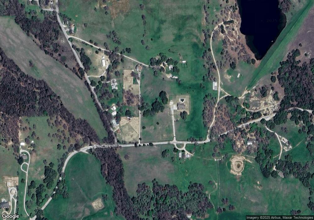
Map
Nearby Homes
- 853 County Road 2215
- 124 Blackstar Ln
- 116 Blackstar Ln
- 132 Blackstar Ln
- 159 Blackstar Ln
- 0 Highway 287 Unit 21102120
- 0 Highway 287 Unit 21094377
- 130 Nicholas Way
- 4002 E Highway 380
- 167 Pr-2313
- 0000 Fm N 730
- TBD County Rd 2735
- Lot 12 Cedar Springs Estates
- TBD E Hwy 380 Hwy
- 362 Decatur Cemetery Rd
- 124 Llanos Dr
- 125 Pampas Ct
- The Salado Plan at Hillcrest Meadows North
- 126 Range Ln
- The Colorado II Plan at Hillcrest Meadows North
- 1168 County Road 2224
- 885 County Road 2215
- 897 County Road 2215
- 1137 County Road 2224
- 845 County Road 2215
- 1121 County Road 2224
- 1519 County Road 2224
- 334 County Rd 334
- 1510 County Road 2224
- 782 County Road 2215
- 753 County Road 2215
- 748 County Road 2215
- 1548 County Road 2224
- 607 County Road 2215
- 535 A Private Road 4512 Rd
- Lot 4 Tiffany Trail
- TBD County Rd 4460
- 117 Cr 4371
- 117 Horse Whisperer
- Lot 39 Billy Jo Ln