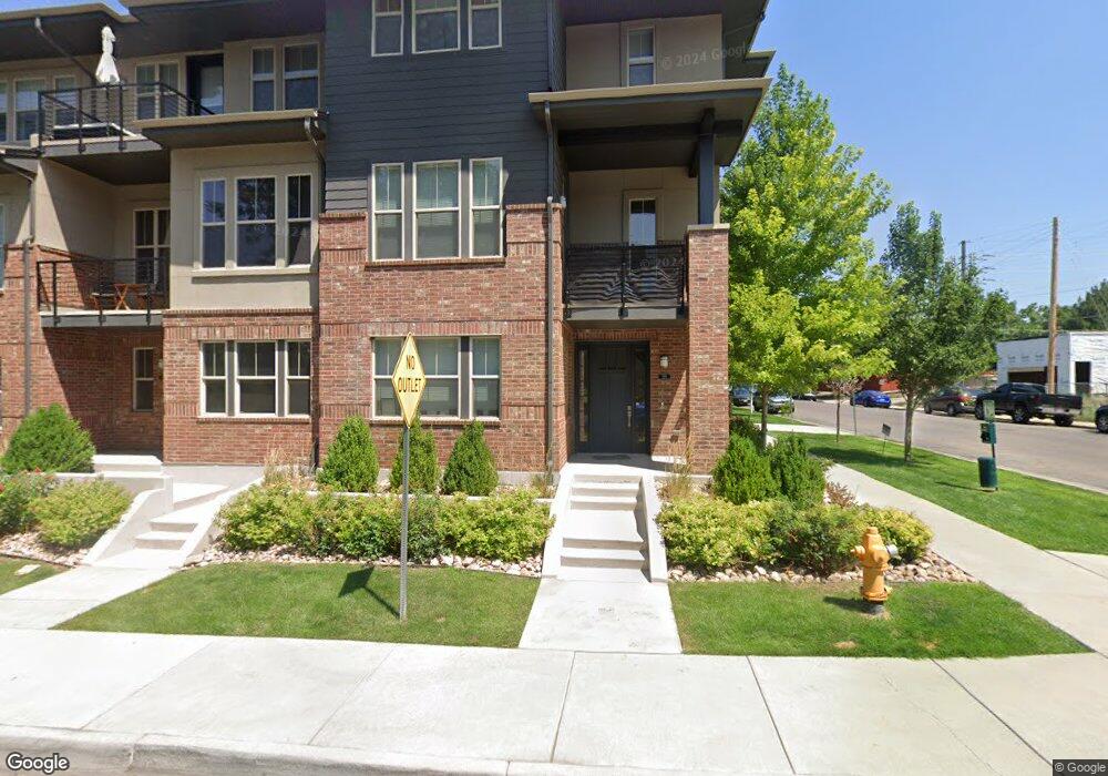
198 S Locust St Denver, CO 80224
Hilltop NeighborhoodEstimated Value: $878,000 - $926,000
3
Beds
4
Baths
2,038
Sq Ft
$442/Sq Ft
Est. Value
About This Home
This home is located at 198 S Locust St, Denver, CO 80224 and is currently estimated at $900,972, approximately $442 per square foot. 198 S Locust St is a home located in Denver County with nearby schools including Carson Elementary School, Hill Campus of Arts & Sciences, and George Washington High School.
Ownership History
Date
Name
Owned For
Owner Type
Purchase Details
Closed on
Jan 5, 2023
Sold by
Kiefer Michael
Bought by
Michael P Kiefer Trust
Current Estimated Value
Purchase Details
Closed on
Jul 1, 2021
Sold by
The Margatet M Brownlee Trust
Bought by
Kiefer Michael
Home Financials for this Owner
Home Financials are based on the most recent Mortgage that was taken out on this home.
Original Mortgage
$596,850
Interest Rate
2.9%
Mortgage Type
New Conventional
Purchase Details
Closed on
Dec 12, 2017
Sold by
25 Incorporated
Bought by
Browniee Margaret M and The Margeret M Brownleo Trust
Create a Home Valuation Report for This Property
The Home Valuation Report is an in-depth analysis detailing your home's value as well as a comparison with similar homes in the area
Home Values in the Area
Average Home Value in this Area
Purchase History
| Date | Buyer | Sale Price | Title Company |
|---|---|---|---|
| Michael P Kiefer Trust | -- | -- | |
| Kiefer Michael | $835,000 | First Integrity Title | |
| Browniee Margaret M | $726,600 | Land Title Guarantee Co |
Source: Public Records
Mortgage History
| Date | Status | Borrower | Loan Amount |
|---|---|---|---|
| Previous Owner | Kiefer Michael | $596,850 |
Source: Public Records
Tax History Compared to Growth
Tax History
| Year | Tax Paid | Tax Assessment Tax Assessment Total Assessment is a certain percentage of the fair market value that is determined by local assessors to be the total taxable value of land and additions on the property. | Land | Improvement |
|---|---|---|---|---|
| 2024 | $4,451 | $56,200 | $1,800 | $54,400 |
| 2023 | $4,355 | $56,200 | $1,800 | $54,400 |
| 2022 | $3,722 | $46,800 | $5,690 | $41,110 |
| 2021 | $3,722 | $48,150 | $5,860 | $42,290 |
| 2020 | $3,691 | $49,750 | $5,860 | $43,890 |
| 2019 | $3,588 | $49,750 | $5,860 | $43,890 |
| 2018 | $3,271 | $42,280 | $3,470 | $38,810 |
Source: Public Records
Map
Nearby Homes
- 6435 E Cedar Ave
- 188 S Locust St
- 308 S Locust St
- 360 S Krameria St
- 260 S Jasmine St
- 6758 E Lowry Blvd
- 121 S Jasmine St
- 405 S Krameria St
- 441 S Monaco Pkwy
- 1 S Jasmine St
- 62 Jasmine St
- 6524 E Alaska Dr
- 367 S Jasmine St
- 488 S Leyden St
- 5700 E Cedar Ave
- 65 Newport St
- 43 S Oneida Ct
- 50 S Ivy St
- 222 S Olive St
- 404 S Oneida Way
- 196 S Locust St
- 196 S Locust St Unit 6
- 194 S Locust St
- 194 S Locust St Unit 6
- 6425 E Cedar Ave
- 192 S Locust St
- 173 S Monaco Pkwy
- 175 S Monaco Pkwy
- 175 S Monaco Pkwy Unit 4
- 200 S Locust St
- 177 S Monaco Street Pkwy
- 180 S Locust St
- 180 S Locust St Unit 7
- 6455 E Cedar Ave
- 6445 E Cedar Ave Unit L
- 6475 E Cedar Ave
- 6445 E Cedar Ave
- 179 S Monaco Pkwy
- 210 S Locust St
- 179 S Monaco Pkwy