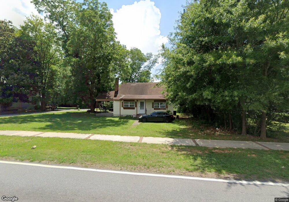
198 S Main St Jonesboro, GA 30236
Estimated Value: $144,000 - $184,000
2
Beds
1
Bath
1,206
Sq Ft
$136/Sq Ft
Est. Value
About This Home
This home is located at 198 S Main St, Jonesboro, GA 30236 and is currently estimated at $163,928, approximately $135 per square foot. 198 S Main St is a home located in Clayton County with nearby schools including Suder Elementary School, Mundys Mill Middle School, and Jonesboro High School.
Ownership History
Date
Name
Owned For
Owner Type
Purchase Details
Closed on
Sep 5, 2017
Sold by
Truste Branan Joseph Criag
Bought by
Sanchez Micheal
Current Estimated Value
Home Financials for this Owner
Home Financials are based on the most recent Mortgage that was taken out on this home.
Original Mortgage
$45,000
Outstanding Balance
$24,269
Interest Rate
3.9%
Mortgage Type
New Conventional
Estimated Equity
$139,659
Purchase Details
Closed on
Jun 3, 2016
Sold by
Branan Jack W
Bought by
Branan Joseph Criag Trustee and Branan Family Trust
Purchase Details
Closed on
May 6, 1999
Sold by
Brown Jane T
Bought by
Branan Jack W
Create a Home Valuation Report for This Property
The Home Valuation Report is an in-depth analysis detailing your home's value as well as a comparison with similar homes in the area
Home Values in the Area
Average Home Value in this Area
Purchase History
| Date | Buyer | Sale Price | Title Company |
|---|---|---|---|
| Sanchez Micheal | $60,000 | -- | |
| Branan Joseph Criag Trustee | -- | -- | |
| Branan Jack W | $55,000 | -- |
Source: Public Records
Mortgage History
| Date | Status | Borrower | Loan Amount |
|---|---|---|---|
| Open | Sanchez Micheal | $45,000 |
Source: Public Records
Tax History Compared to Growth
Tax History
| Year | Tax Paid | Tax Assessment Tax Assessment Total Assessment is a certain percentage of the fair market value that is determined by local assessors to be the total taxable value of land and additions on the property. | Land | Improvement |
|---|---|---|---|---|
| 2024 | $1,916 | $49,120 | $7,200 | $41,920 |
| 2023 | $1,498 | $41,480 | $7,200 | $34,280 |
| 2022 | $1,455 | $37,080 | $7,200 | $29,880 |
| 2021 | $1,272 | $32,200 | $7,200 | $25,000 |
| 2020 | $1,101 | $27,530 | $7,200 | $20,330 |
| 2019 | $944 | $23,260 | $5,600 | $17,660 |
| 2018 | $910 | $22,410 | $5,600 | $16,810 |
| 2017 | $765 | $18,792 | $5,600 | $13,192 |
| 2016 | $692 | $17,000 | $5,600 | $11,400 |
| 2015 | $384 | $0 | $0 | $0 |
| 2014 | $382 | $9,600 | $5,600 | $4,000 |
Source: Public Records
Map
Nearby Homes
- 192 Cloud St
- 242 Lake Jodeco Rd
- 116 Thornton Dr
- 304 Mercer Dr
- 135 Main St
- 116 Stewart Ave
- 0 State Highway 54
- 215 King St
- 109 Stockbridge Rd
- 1519 Red Briar Way
- 1457 Brownleaf Dr
- 1433 Butler St
- 8857 Woodridge Ct
- 1535 Lake Jodeco Rd
- 7559 Tara Blvd
- 8645 Embrey Dr
- 151 Irvin St
- 738 Dunaire Way
- 755 Dunaire Way
- 181 Dean St