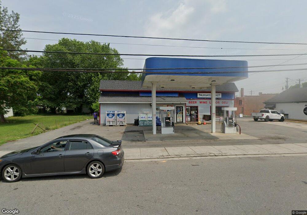
198 Sassafras St Millington, MD 21651
Estimated Value: $251,287
--
Bed
--
Bath
1,551
Sq Ft
$162/Sq Ft
Est. Value
About This Home
This home is located at 198 Sassafras St, Millington, MD 21651 and is currently estimated at $251,287, approximately $162 per square foot. 198 Sassafras St is a home located in Kent County with nearby schools including Kent County Middle School and Kent County High School.
Ownership History
Date
Name
Owned For
Owner Type
Purchase Details
Closed on
Dec 27, 2011
Sold by
Heck Samuel L
Bought by
Bkrs Llc
Current Estimated Value
Purchase Details
Closed on
Mar 23, 1990
Sold by
Carrole Hickman S and Carrole Anne
Bought by
Davis Texaco Inc
Purchase Details
Closed on
Apr 3, 1985
Sold by
Price Robert P and Price Marjorie A
Bought by
Carrole Hickman S and Carrole Anne
Create a Home Valuation Report for This Property
The Home Valuation Report is an in-depth analysis detailing your home's value as well as a comparison with similar homes in the area
Home Values in the Area
Average Home Value in this Area
Purchase History
| Date | Buyer | Sale Price | Title Company |
|---|---|---|---|
| Bkrs Llc | $126,000 | None Available | |
| Davis Texaco Inc | $160,000 | -- | |
| Carrole Hickman S | $76,000 | -- |
Source: Public Records
Tax History Compared to Growth
Tax History
| Year | Tax Paid | Tax Assessment Tax Assessment Total Assessment is a certain percentage of the fair market value that is determined by local assessors to be the total taxable value of land and additions on the property. | Land | Improvement |
|---|---|---|---|---|
| 2025 | $3,258 | $217,000 | $115,900 | $101,100 |
| 2024 | $3,187 | $217,000 | $115,900 | $101,100 |
| 2023 | $3,165 | $220,000 | $115,900 | $104,100 |
| 2022 | $3,123 | $220,000 | $115,900 | $104,100 |
| 2021 | $3,252 | $220,000 | $115,900 | $104,100 |
| 2020 | $3,252 | $229,700 | $115,900 | $113,800 |
| 2019 | $3,258 | $229,700 | $115,900 | $113,800 |
| 2018 | $3,258 | $229,700 | $115,900 | $113,800 |
| 2017 | $3,433 | $242,300 | $0 | $0 |
| 2016 | -- | $240,400 | $0 | $0 |
| 2015 | $3,616 | $238,500 | $0 | $0 |
| 2014 | $3,616 | $236,600 | $0 | $0 |
Source: Public Records
Map
Nearby Homes
- 396 Cypress St
- 390 Hurtt Ave
- 210 Crane St
- 243 Sassafras St
- 82 Kent Mill Dr
- Parcel 104 Pfalzgroff Rd
- 10434 Big Stone Rd
- 31667 W Edge Rd
- 251 Rings End Rd
- 104 Clark Ct
- 2417 Millington Rd
- 405 Chester River Heights Rd
- 0 Carroll Clark Rd Unit MDKE2004182
- Lot 1 Carroll Clark Rd
- 0 Baxter Rd
- 0 Peters Corner Rd
- 10669 Chesterville Forest Rd
- 0 Chesterville Forest Rd Unit PARCEL 73
- 0 Chesterville Forest Rd Unit PARCEL 84A
- 0 Chesterville Forest Rd Unit PARCEL 60
- 400 Cypress St
- 196 Sassafras St
- 402 Cypress St
- 199 Sassafras St
- 199 Railroad St
- 197 Sassafras St
- 194 Sassafras St
- 195 Sassafras St
- 192 Sassafras St
- 401 Back St
- 401 Cypress St
- 405 Back St
- 394 Cypress St
- 405 Cypress St
- 403 Cypress St
- 203 Sassafras St
- 200 Sassafras St
- 408 Cypress St
- 201 Sassafras St
- 407 Cypress St