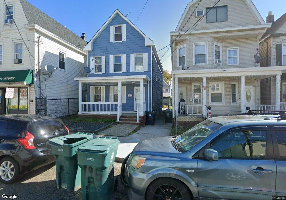
198 Sherman St Perth Amboy, NJ 08861
Southwestern Perth Amboy NeighborhoodEstimated Value: $418,562 - $480,000
--
Bed
--
Bath
1,720
Sq Ft
$266/Sq Ft
Est. Value
About This Home
This home is located at 198 Sherman St, Perth Amboy, NJ 08861 and is currently estimated at $457,141, approximately $265 per square foot. 198 Sherman St is a home located in Middlesex County with nearby schools including Perth Amboy High School, Middlesex County STEM Charter School, and Academy for Urban Leadership Charter School.
Ownership History
Date
Name
Owned For
Owner Type
Purchase Details
Closed on
Jul 28, 2009
Sold by
Epps Kurt Emil and Davis Judy Epps
Bought by
Nunez Lissette
Current Estimated Value
Home Financials for this Owner
Home Financials are based on the most recent Mortgage that was taken out on this home.
Original Mortgage
$201,286
Outstanding Balance
$132,240
Interest Rate
5.36%
Mortgage Type
FHA
Estimated Equity
$324,901
Create a Home Valuation Report for This Property
The Home Valuation Report is an in-depth analysis detailing your home's value as well as a comparison with similar homes in the area
Home Values in the Area
Average Home Value in this Area
Purchase History
| Date | Buyer | Sale Price | Title Company |
|---|---|---|---|
| Nunez Lissette | $205,000 | Fidelity Natl Title Ins Co |
Source: Public Records
Mortgage History
| Date | Status | Borrower | Loan Amount |
|---|---|---|---|
| Open | Nunez Lissette | $201,286 |
Source: Public Records
Tax History Compared to Growth
Tax History
| Year | Tax Paid | Tax Assessment Tax Assessment Total Assessment is a certain percentage of the fair market value that is determined by local assessors to be the total taxable value of land and additions on the property. | Land | Improvement |
|---|---|---|---|---|
| 2025 | $5,250 | $174,000 | $86,400 | $87,600 |
| 2024 | $5,239 | $174,000 | $86,400 | $87,600 |
| 2023 | $5,239 | $174,000 | $86,400 | $87,600 |
| 2022 | $5,177 | $174,000 | $86,400 | $87,600 |
| 2021 | $5,183 | $174,000 | $86,400 | $87,600 |
| 2020 | $5,182 | $174,000 | $86,400 | $87,600 |
| 2019 | $5,201 | $174,000 | $86,400 | $87,600 |
| 2018 | $5,156 | $174,000 | $86,400 | $87,600 |
| 2017 | $5,145 | $174,000 | $86,400 | $87,600 |
| 2016 | $5,011 | $174,000 | $86,400 | $87,600 |
| 2015 | $5,046 | $174,000 | $86,400 | $87,600 |
| 2014 | $5,077 | $174,000 | $86,400 | $87,600 |
Source: Public Records
Map
Nearby Homes
- 278 Market St
- 371 Mcguire Place
- 267 Elm St
- 206 Market St
- 203 Gordon St
- 374 Oak St
- 187 Gordon St
- 136 1st St
- 402 Hidden Village Dr
- 303 Holly Dr
- 397 Washington St
- 306 Holly Dr Unit 306
- 309 Hidden Village Dr
- 307 Hidden Village Dr
- 404 Washington St
- 1002 Hidden Village Dr
- 190 Lewis St
- 376 Barclay St
- 102 Madison Ave
- 399 Park Ave
- 196 Sherman St
- 194 Sherman St
- 200 Sherman St
- 192 Sherman St
- 201 Meade St
- 206 Sherman St
- 193 Meade St
- 203 Meade St
- 190 Sherman St
- 37 Sherman Hill Dr
- 189 Meade St Unit 191
- 188 Sherman St
- 186 Sherman St
- 208 Sherman St
- 201 Sherman St
- 207 Meade St
- 185 Meade St Unit 187
- 184 Sherman St
- 199 Sherman St
- 197 Sherman St