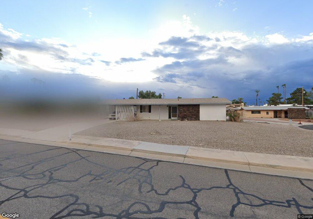
198 Smoketree Ave S Lake Havasu City, AZ 86403
Estimated Value: $274,374 - $355,000
2
Beds
1
Bath
958
Sq Ft
$324/Sq Ft
Est. Value
About This Home
This home is located at 198 Smoketree Ave S, Lake Havasu City, AZ 86403 and is currently estimated at $310,344, approximately $323 per square foot. 198 Smoketree Ave S is a home located in Mohave County with nearby schools including Smoketree Elementary School, Thunderbolt Middle School, and Lake Havasu High School.
Ownership History
Date
Name
Owned For
Owner Type
Purchase Details
Closed on
Feb 13, 2004
Sold by
Clark Marshall M
Bought by
Morgan Edward Joseph and Morgan Dorothy Laura
Current Estimated Value
Home Financials for this Owner
Home Financials are based on the most recent Mortgage that was taken out on this home.
Original Mortgage
$80,000
Interest Rate
5.64%
Mortgage Type
Unknown
Purchase Details
Closed on
Sep 12, 2002
Sold by
Barlage James L
Bought by
Clark Marshall M
Create a Home Valuation Report for This Property
The Home Valuation Report is an in-depth analysis detailing your home's value as well as a comparison with similar homes in the area
Home Values in the Area
Average Home Value in this Area
Purchase History
| Date | Buyer | Sale Price | Title Company |
|---|---|---|---|
| Morgan Edward Joseph | $118,000 | First American Title Ins Co | |
| Clark Marshall M | $14,300 | First American Title Ins Co |
Source: Public Records
Mortgage History
| Date | Status | Borrower | Loan Amount |
|---|---|---|---|
| Closed | Morgan Edward Joseph | $80,000 |
Source: Public Records
Tax History Compared to Growth
Tax History
| Year | Tax Paid | Tax Assessment Tax Assessment Total Assessment is a certain percentage of the fair market value that is determined by local assessors to be the total taxable value of land and additions on the property. | Land | Improvement |
|---|---|---|---|---|
| 2026 | -- | -- | -- | -- |
| 2025 | $652 | $12,884 | $0 | $0 |
| 2024 | $652 | $26,498 | $0 | $0 |
| 2023 | $652 | $15,823 | $0 | $0 |
| 2022 | $624 | $14,958 | $0 | $0 |
| 2021 | $773 | $11,910 | $0 | $0 |
| 2019 | $738 | $9,463 | $0 | $0 |
| 2018 | $716 | $9,521 | $0 | $0 |
| 2017 | $710 | $8,802 | $0 | $0 |
| 2016 | $651 | $7,445 | $0 | $0 |
| 2015 | $627 | $6,954 | $0 | $0 |
Source: Public Records
Map
Nearby Homes
- 211 Columbine Dr
- 1775 Los Lagos Dr Unit B
- 1771 Los Lagos Dr Unit D
- 1786 Los Lagos Dr Unit A
- 1793 Montana Vista Unit C
- 1939 Pine Ln
- 276 Lake Havasu Ave N Unit B18
- 276 Lake Havasu Ave N Unit C19
- 276 Lake Havasu Ave N Unit C2
- 276 Lake Havasu Ave N Unit B10
- 276 Lake Havasu Ave N Unit C22
- 1962 Cliffrose Dr
- 1884 Montana Vista Unit 63B
- 1958 Montana Vista Unit D
- 1824 Montana Vista Unit D
- 1723 Montana Vista Unit D
- 1840 Montana Vista Unit D
- 1838 Montana Vista Unit C
- 256 Lake Havasu Ave S Unit B75
- 256 Lake Havasu Ave S Unit C57
- 182 Smoketree Ave S
- 206 Broomrape Ln
- 214 Broomrape Ln
- 1910 Ash Dr
- 207 Smoketree Ave S
- 199 Smoketree Ave S
- 230 Broomrape Ln
- 222 Broomrape Ln
- 191 Smoketree Ave S
- 1831 Los Lagos Cir
- 1829 Los Lagos Cir
- 1827 Los Lagos Cir
- 1920 Ash Dr
- 1833 Los Lagos Cir
- 1825 Los Lagos Cir
- 1825 Los Lagos Cir
- 183 Smoketree Ave S
- 238 Smoketree Ave S
- 206 Columbine Dr
- 198 Columbine Dr