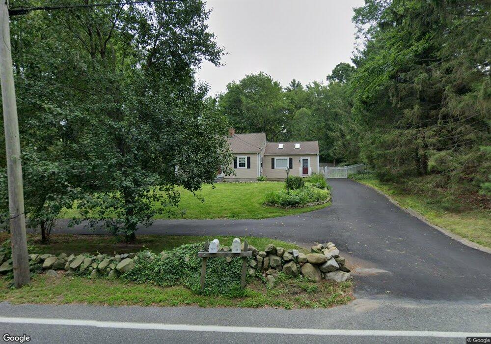
198 State St Hanson, MA 02341
Estimated Value: $635,415 - $720,000
4
Beds
3
Baths
1,867
Sq Ft
$358/Sq Ft
Est. Value
About This Home
This home is located at 198 State St, Hanson, MA 02341 and is currently estimated at $668,104, approximately $357 per square foot. 198 State St is a home located in Plymouth County with nearby schools including Cadence Academy Preschool - Hanover and Cardinal Cushing Centers.
Ownership History
Date
Name
Owned For
Owner Type
Purchase Details
Closed on
May 28, 2004
Sold by
Minicucci Michael D
Bought by
Short Donald P and Short Tara B
Current Estimated Value
Purchase Details
Closed on
Nov 22, 2002
Sold by
Clements Troy P and Clements Debra J
Bought by
Minicucci Michael D
Purchase Details
Closed on
Aug 6, 1998
Sold by
Mahoney Helen M Est
Bought by
Clements Troy P and Clements Debra J
Create a Home Valuation Report for This Property
The Home Valuation Report is an in-depth analysis detailing your home's value as well as a comparison with similar homes in the area
Home Values in the Area
Average Home Value in this Area
Purchase History
| Date | Buyer | Sale Price | Title Company |
|---|---|---|---|
| Short Donald P | $366,000 | -- | |
| Minicucci Michael D | $321,000 | -- | |
| Clements Troy P | $144,500 | -- |
Source: Public Records
Mortgage History
| Date | Status | Borrower | Loan Amount |
|---|---|---|---|
| Open | Clements Troy P | $251,000 | |
| Closed | Clements Troy P | $45,000 | |
| Closed | Clements Troy P | $98,000 |
Source: Public Records
Tax History Compared to Growth
Tax History
| Year | Tax Paid | Tax Assessment Tax Assessment Total Assessment is a certain percentage of the fair market value that is determined by local assessors to be the total taxable value of land and additions on the property. | Land | Improvement |
|---|---|---|---|---|
| 2025 | $6,608 | $493,900 | $192,100 | $301,800 |
| 2024 | $6,417 | $479,600 | $186,500 | $293,100 |
| 2023 | $6,266 | $441,900 | $186,500 | $255,400 |
| 2022 | $6,117 | $405,400 | $169,500 | $235,900 |
| 2021 | $5,487 | $363,400 | $163,000 | $200,400 |
| 2020 | $5,409 | $354,200 | $157,500 | $196,700 |
| 2019 | $5,182 | $333,700 | $154,500 | $179,200 |
| 2018 | $4,572 | $288,800 | $148,500 | $140,300 |
| 2017 | $4,436 | $277,600 | $141,500 | $136,100 |
| 2016 | $4,536 | $274,100 | $141,500 | $132,600 |
| 2015 | $4,284 | $269,100 | $141,500 | $127,600 |
Source: Public Records
Map
Nearby Homes
- 15 Elm Place
- 456 Gorwin Dr
- 842 E Washington St
- 37 Brook St
- Lot 22 Adams Cir
- 269 Lakeside Rd
- 136 W Elm St
- 1251 Broadway
- 134 Crescent St
- 7 Farmside Dr
- 18 Wampatuck St
- 285 W Elm St
- 41 Gail Rd
- 114 Graham Hill Dr
- 456 Maquan St
- 418 E Washington St
- 553 Center St
- 8 Pinehurst Ave
- 22 Pondview Ave
- 23 Pondview Ave