198 Thoreau Dr Shelton, CT 06484
Estimated Value: $600,000 - $719,541
3
Beds
3
Baths
2,511
Sq Ft
$259/Sq Ft
Est. Value
About This Home
This home is located at 198 Thoreau Dr, Shelton, CT 06484 and is currently estimated at $650,385, approximately $259 per square foot. 198 Thoreau Dr is a home located in Fairfield County with nearby schools including Elizabeth Shelton Elementary School, Perry Hill School, and Shelton Intermediate School.
Ownership History
Date
Name
Owned For
Owner Type
Purchase Details
Closed on
Dec 13, 1996
Sold by
Giampaolo John and Giampaolo Jodi A
Bought by
Marks Christopher M and Marks Kathleen M
Current Estimated Value
Purchase Details
Closed on
Sep 2, 1993
Sold by
Massey Family Lp
Bought by
Giampaolo John
Create a Home Valuation Report for This Property
The Home Valuation Report is an in-depth analysis detailing your home's value as well as a comparison with similar homes in the area
Home Values in the Area
Average Home Value in this Area
Purchase History
| Date | Buyer | Sale Price | Title Company |
|---|---|---|---|
| Marks Christopher M | $215,000 | -- | |
| Marks Christopher M | $215,000 | -- | |
| Giampaolo John | $185,000 | -- | |
| Giampaolo John | $185,000 | -- |
Source: Public Records
Mortgage History
| Date | Status | Borrower | Loan Amount |
|---|---|---|---|
| Open | Giampaolo John | $366,000 | |
| Closed | Giampaolo John | $376,000 | |
| Closed | Giampaolo John | $200,000 |
Source: Public Records
Tax History Compared to Growth
Tax History
| Year | Tax Paid | Tax Assessment Tax Assessment Total Assessment is a certain percentage of the fair market value that is determined by local assessors to be the total taxable value of land and additions on the property. | Land | Improvement |
|---|---|---|---|---|
| 2025 | $6,785 | $360,500 | $114,660 | $245,840 |
| 2024 | $6,819 | $355,530 | $114,660 | $240,870 |
| 2023 | $6,211 | $355,530 | $114,660 | $240,870 |
| 2022 | $6,211 | $355,530 | $114,660 | $240,870 |
| 2021 | $6,121 | $277,830 | $79,730 | $198,100 |
| 2020 | $6,229 | $277,830 | $79,730 | $198,100 |
| 2019 | $6,229 | $277,830 | $79,730 | $198,100 |
| 2017 | $6,171 | $277,830 | $79,730 | $198,100 |
| 2015 | $6,041 | $270,760 | $77,280 | $193,480 |
| 2014 | $6,041 | $270,760 | $77,280 | $193,480 |
Source: Public Records
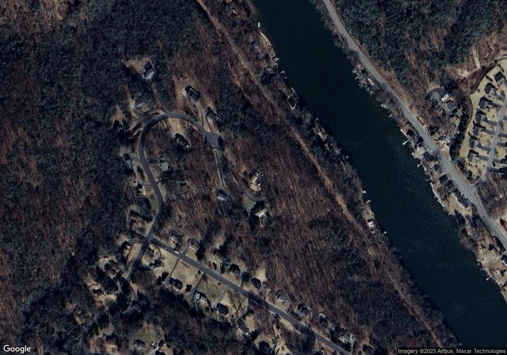
Map
Nearby Homes
- 80 Birchbank Rd
- 190 Thoreau Dr
- 452 Roosevelt Dr
- 31 Meghan Ln
- 108 Webb Cir
- 297 Loughlin Rd
- 113 Squantuck Rd
- 95 Squantuck Rd
- 3 Brookside Trail
- 30 E Village Rd
- 19 Carriage Dr
- 256 Roosevelt Dr
- 0 Punkup Rd
- 14 Spruce Brook Rd
- 144 Punkup Rd
- 68 E Village Rd
- 44 Block Farm Rd
- 181 Great Hill Rd
- 207 Roosevelt Dr
- lot11 Fiddlehead Rd
- 202 Thoreau Dr
- 195 Thoreau Dr
- 171 Thoreau Dr
- 194 Thoreau Dr
- 15 Birchbank Rd
- 15 Birchbank Rd
- 16 Upper Birchbank Rd
- 13 Birchbank Rd
- 13 Birch St
- 187 Thoreau Dr
- 9 Rodia Ridge Rd
- 175 Thoreau Dr
- 15 Rodia Ridge Rd
- 5 Birchbank Rd
- 82 Birchbank Rd
- 82 Birchbank Rd
- 5 Rodia Ridge Rd
- 19 Rodia Ridge Rd
- 1 Rodia Ridge Rd
- 16 Birchbank Rd