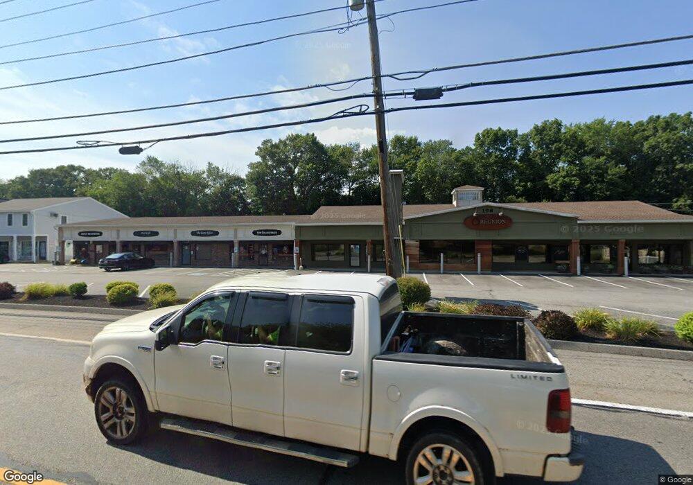
198 Worcester St North Grafton, MA 01536
--
Bed
2
Baths
1,800
Sq Ft
1.19
Acres
About This Home
This home is located at 198 Worcester St, North Grafton, MA 01536. 198 Worcester St is a home located in Worcester County with nearby schools including Grafton High School, Silver Spruce Montessori School, and Al-Hamra Academy.
Ownership History
Date
Name
Owned For
Owner Type
Purchase Details
Closed on
Feb 27, 2015
Sold by
Peoples United Bank Na
Bought by
Sargon Realty Llc
Purchase Details
Closed on
Dec 11, 2013
Sold by
Allen Joseph and Allen Patricia
Bought by
Peoples United Bank
Purchase Details
Closed on
Nov 7, 1997
Sold by
Mason Francis J and Mason Rose T
Bought by
Allen Joseph and Allen Patricia
Create a Home Valuation Report for This Property
The Home Valuation Report is an in-depth analysis detailing your home's value as well as a comparison with similar homes in the area
Home Values in the Area
Average Home Value in this Area
Purchase History
| Date | Buyer | Sale Price | Title Company |
|---|---|---|---|
| Sargon Realty Llc | $900,000 | -- | |
| Peoples United Bank | $1,200,000 | -- | |
| Peoples United Bank | $1,200,000 | -- | |
| Allen Joseph | $700,000 | -- | |
| Allen Joseph | $700,000 | -- |
Source: Public Records
Mortgage History
| Date | Status | Borrower | Loan Amount |
|---|---|---|---|
| Previous Owner | Allen Joseph | $600,000 |
Source: Public Records
Tax History Compared to Growth
Tax History
| Year | Tax Paid | Tax Assessment Tax Assessment Total Assessment is a certain percentage of the fair market value that is determined by local assessors to be the total taxable value of land and additions on the property. | Land | Improvement |
|---|---|---|---|---|
| 2025 | $19,017 | $1,364,200 | $336,300 | $1,027,900 |
| 2024 | $18,503 | $1,293,000 | $312,400 | $980,600 |
| 2023 | $18,076 | $1,150,600 | $285,800 | $864,800 |
| 2022 | $18,421 | $1,091,300 | $262,200 | $829,100 |
| 2021 | $18,367 | $1,069,100 | $238,600 | $830,500 |
| 2020 | $17,640 | $1,069,100 | $238,600 | $830,500 |
| 2019 | $13,806 | $828,700 | $238,600 | $590,100 |
| 2018 | $13,768 | $829,900 | $267,000 | $562,900 |
| 2017 | $13,610 | $829,900 | $267,000 | $562,900 |
| 2016 | $13,686 | $817,100 | $261,800 | $555,300 |
| 2015 | $13,784 | $835,400 | $261,800 | $573,600 |
| 2014 | $13,050 | $855,200 | $261,800 | $593,400 |
Source: Public Records
Map
Nearby Homes
- 194 Worcester St
- 11 Hovey Pond Dr Unit 11
- 14 Northgate Ct Unit 14
- 17 Hingham Rd
- 167 Worcester St
- 30 Falmouth Dr
- 4 Westboro Rd
- 76 Samuel Dr
- 21 Lordvale Blvd Unit 406
- 44 Meadow Ln
- 5 Lincoln Ln Unit 5
- 46 John Dr Unit 46
- 28 Lincoln Ln
- 5 Edward Dr
- 0 East St
- 69 Cortland Grove Dr Unit 69
- 39 Pointe Rok Dr Unit 39
- 156 Brigham Hill Rd
- 3 Abby Rd
- 4 Winslow Ln Unit 1410
- 198 Worcester Rd
- 202 Worcester St Unit 8
- 12 Beverly Rd
- 10 Beverly Rd
- 8 Beverly Rd
- 14 Beverly Rd
- 192 Worcester St
- 6 Beverly Rd
- 204 Worcester St
- 2 Jordan Terrace
- 11 Northgate Ct
- 11 Northgate Ct Unit 11
- 11 Northgate Ct Unit 2,6
- 9 Beverly Rd
- 16 Beverly Rd
- 22 Northgate Ct Unit 22
- 4 Beverly Rd
- 5 Northgate Ct
- 5 Northgate Ct Unit 3
- 4 Jordan Terrace