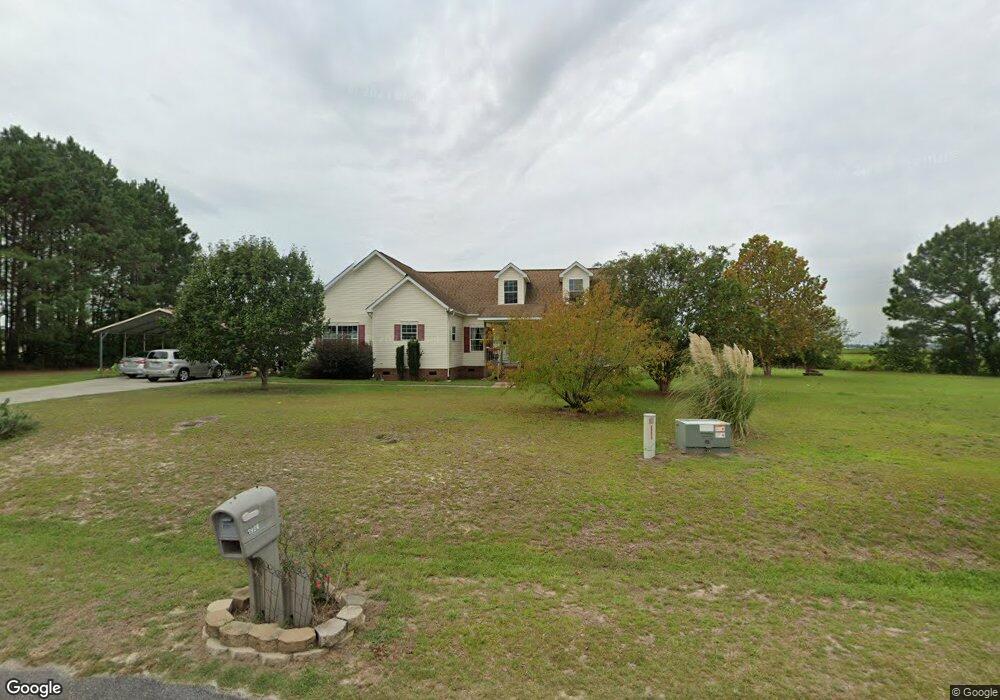
1980 Brookstone Dr La Grange, NC 28551
Estimated Value: $238,000 - $250,000
3
Beds
2
Baths
2,659
Sq Ft
$92/Sq Ft
Est. Value
About This Home
This home is located at 1980 Brookstone Dr, La Grange, NC 28551 and is currently estimated at $244,000, approximately $91 per square foot. 1980 Brookstone Dr is a home located in Lenoir County with nearby schools including La Grange Elementary School, E.B. Frink Middle School, and North Lenoir High School.
Ownership History
Date
Name
Owned For
Owner Type
Purchase Details
Closed on
Mar 14, 2006
Sold by
Whaley Elwood Ray and Whaley Eunice N
Bought by
Mendes Tammy J and Mendes Sergio
Current Estimated Value
Home Financials for this Owner
Home Financials are based on the most recent Mortgage that was taken out on this home.
Original Mortgage
$172,286
Outstanding Balance
$96,933
Interest Rate
6.19%
Mortgage Type
FHA
Estimated Equity
$147,067
Create a Home Valuation Report for This Property
The Home Valuation Report is an in-depth analysis detailing your home's value as well as a comparison with similar homes in the area
Home Values in the Area
Average Home Value in this Area
Purchase History
| Date | Buyer | Sale Price | Title Company |
|---|---|---|---|
| Mendes Tammy J | $14,000 | None Available |
Source: Public Records
Mortgage History
| Date | Status | Borrower | Loan Amount |
|---|---|---|---|
| Open | Mendes Tammy J | $172,286 |
Source: Public Records
Tax History Compared to Growth
Tax History
| Year | Tax Paid | Tax Assessment Tax Assessment Total Assessment is a certain percentage of the fair market value that is determined by local assessors to be the total taxable value of land and additions on the property. | Land | Improvement |
|---|---|---|---|---|
| 2025 | $2,449 | $325,650 | $21,246 | $304,404 |
| 2024 | $1,223 | $125,572 | $15,000 | $110,572 |
| 2023 | $1,223 | $125,572 | $15,000 | $110,572 |
| 2022 | $1,223 | $125,572 | $15,000 | $110,572 |
| 2021 | $1,220 | $125,572 | $15,000 | $110,572 |
| 2020 | $1,220 | $125,572 | $15,000 | $110,572 |
| 2019 | $1,223 | $125,572 | $15,000 | $110,572 |
| 2018 | $1,204 | $125,572 | $15,000 | $110,572 |
| 2017 | $1,205 | $125,572 | $15,000 | $110,572 |
| 2014 | $1,229 | $130,112 | $15,000 | $115,112 |
| 2013 | -- | $130,112 | $15,000 | $115,112 |
| 2011 | -- | $130,112 | $15,000 | $115,112 |
Source: Public Records
Map
Nearby Homes
- Lot #2 Albert Sugg Rd
- 3733 Fields Station Rd
- 3101 Marion Heights Dr
- 2200 Carriage Dr
- 3255 Caroline Nicole Dr
- 3216 Dexter Cir
- 2704 Forrest Dr
- 3254 Kelly Rd
- 2585 Cabin Branch Rd
- 2634 Forrest Dr
- 1006 White Oak Dr
- 6 N Carolina 11
- 5 N Carolina 11
- 3145 Lakewood Dr Unit 3155
- 2544 Dogwood Ln
- 1443 Bland Howell Rd
- 2746 Pinewood Dr
- 2532 Irvin Dr
- 222 Orange St
- 270 Orange St
- 1285 Louie Pollock Rd
- 1954 Brookstone Dr
- 1265 Louie Pollock Rd
- 1962 Brookstone Dr
- 1926 Brookstone Dr
- 1926 Brookstone Dr
- Lot 2 John Holmes
- 1953 Brookstone Dr
- 1979 Brookstone Dr
- Lot 2a John Holmes
- 1941 Brookstone Dr
- 1934 Brookstone Dr
- 1243 Louie Pollock Rd
- 1248 Louie Pollock Rd
- 1911 Brookstone Dr
- 1889 Brookstone Dr
- 1225 Louie Pollock Rd
- 1914 Brookstone Dr
- 1217 Louie Pollock Rd
- 1896 Brookstone Dr