1980 Cattail Ln Freeland, WA 98249
Estimated Value: $676,000 - $778,910
3
Beds
2
Baths
1,691
Sq Ft
$420/Sq Ft
Est. Value
About This Home
This home is located at 1980 Cattail Ln, Freeland, WA 98249 and is currently estimated at $710,228, approximately $420 per square foot. 1980 Cattail Ln is a home located in Island County with nearby schools including South Whidbey Elementary School, South Whidbey Middle School, and South Whidbey High School.
Ownership History
Date
Name
Owned For
Owner Type
Purchase Details
Closed on
Jul 9, 2012
Sold by
Chaplin Joyce Mary and Chaplin Joyce M
Bought by
Fisher David Richard and Fisher Laural Ann
Current Estimated Value
Home Financials for this Owner
Home Financials are based on the most recent Mortgage that was taken out on this home.
Original Mortgage
$229,326
Outstanding Balance
$158,000
Interest Rate
3.63%
Mortgage Type
VA
Estimated Equity
$552,228
Create a Home Valuation Report for This Property
The Home Valuation Report is an in-depth analysis detailing your home's value as well as a comparison with similar homes in the area
Home Values in the Area
Average Home Value in this Area
Purchase History
| Date | Buyer | Sale Price | Title Company |
|---|---|---|---|
| Fisher David Richard | $224,780 | None Available |
Source: Public Records
Mortgage History
| Date | Status | Borrower | Loan Amount |
|---|---|---|---|
| Open | Fisher David Richard | $229,326 |
Source: Public Records
Tax History Compared to Growth
Tax History
| Year | Tax Paid | Tax Assessment Tax Assessment Total Assessment is a certain percentage of the fair market value that is determined by local assessors to be the total taxable value of land and additions on the property. | Land | Improvement |
|---|---|---|---|---|
| 2024 | $1,071 | $590,920 | $290,000 | $300,920 |
| 2023 | $1,071 | $594,980 | $290,000 | $304,980 |
| 2022 | $3,497 | $552,859 | $270,000 | $282,859 |
| 2021 | $3,139 | $436,648 | $190,000 | $246,648 |
| 2020 | $2,730 | $399,144 | $165,000 | $234,144 |
| 2019 | $2,522 | $355,545 | $200,000 | $155,545 |
| 2018 | $2,564 | $326,097 | $170,000 | $156,097 |
| 2017 | $2,283 | $307,216 | $150,000 | $157,216 |
| 2016 | $2,048 | $299,430 | $140,000 | $159,430 |
| 2015 | -- | $259,390 | $97,750 | $161,640 |
| 2013 | -- | $261,913 | $97,750 | $164,163 |
Source: Public Records
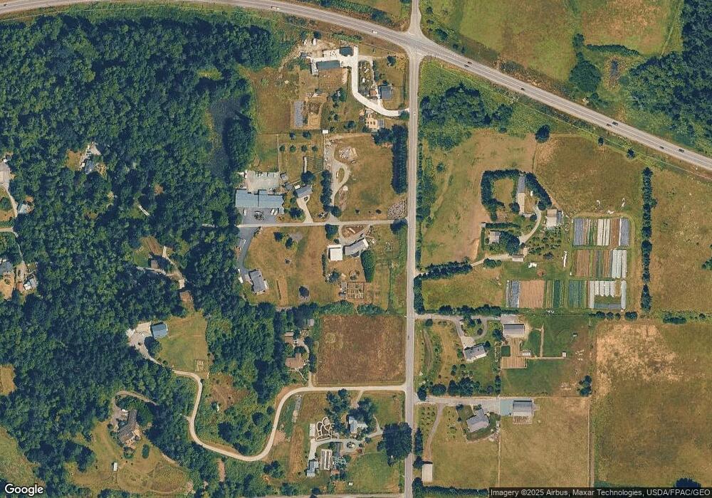
Map
Nearby Homes
- 1940 Cattail Ln
- 0 XXX Osprey Rd Unit 15-2
- 0 XXX Osprey Rd (15-1 & 15-2)
- 0 XXX Osprey Rd Unit 15-1
- 1738 Alliance Ave Unit 14
- 1762 Compass Blvd Unit 17
- 1776 Compass Blvd Unit 24
- 16421 Washington 525
- 5504 Emil Rd
- 5591 S Harbor Ave
- 0 Panorama Dr
- 5430 Pleasant View Ln
- 1774 Twin Oaks Ln
- 1672 Dorsey Dr
- 1857 Watkins Rd
- 1649 Stewart Rd
- 5876 Capt Vancouver Dr
- 0 Lynne Dr
- 0 0-xx E Harbor Rd
- 5772 Captain Vancouver Dr
- 0 Double Bluff Rd Unit NWM1830611
- 0 Double Bluff Rd
- 1971 Hollyhill Ln
- 5655 Double Bluff Rd
- 5623 Double Bluff Rd
- 1695 Hollyhill Ln
- 5586 Double Bluff Rd
- 5660 Double Bluff Rd
- 1930 Hollyhill Ln
- 5685 Double Bluff Rd
- 196 xx Washington 525
- 0 Hwy 525 (1 8 Acres)
- 0 Hwy 525 (6 Acres)
- 1947 Cattail Ln
- 1935 Hollyhill Ln
- 5700 Double Bluff Rd
- 5556 Double Bluff Rd
- 1890 Dusty Ln
- 5548 Double Bluff Rd
- 0 Apple Tree Ln Unit 791535