1980 Crown Pointe Blvd Pensacola, FL 32506
Southwest Pensacola NeighborhoodEstimated Value: $159,000
--
Bed
--
Bath
--
Sq Ft
0.27
Acres
About This Home
This home is located at 1980 Crown Pointe Blvd, Pensacola, FL 32506 and is currently priced at $159,000. 1980 Crown Pointe Blvd is a home located in Escambia County with nearby schools including Blue Angels Elementary School, Jim C. Bailey Middle School, and Escambia High School.
Ownership History
Date
Name
Owned For
Owner Type
Purchase Details
Closed on
Oct 30, 2019
Sold by
Taylor Caroline A
Bought by
Ryan Timothy Scott and Ryan Angela Marie
Current Estimated Value
Purchase Details
Closed on
Aug 30, 2004
Sold by
Miller Stanley J and Miller Candace D
Bought by
Taylor Caroline A
Home Financials for this Owner
Home Financials are based on the most recent Mortgage that was taken out on this home.
Original Mortgage
$58,500
Interest Rate
5.91%
Mortgage Type
Purchase Money Mortgage
Purchase Details
Closed on
Dec 5, 2003
Sold by
Mack Stephen P and Mack Leon P
Bought by
Miller Stanley J and Miller Candace D
Home Financials for this Owner
Home Financials are based on the most recent Mortgage that was taken out on this home.
Original Mortgage
$45,000
Interest Rate
6.07%
Create a Home Valuation Report for This Property
The Home Valuation Report is an in-depth analysis detailing your home's value as well as a comparison with similar homes in the area
Home Values in the Area
Average Home Value in this Area
Purchase History
| Date | Buyer | Sale Price | Title Company |
|---|---|---|---|
| Ryan Timothy Scott | $73,000 | Attorney | |
| Taylor Caroline A | $65,000 | -- | |
| Miller Stanley J | $49,000 | -- |
Source: Public Records
Mortgage History
| Date | Status | Borrower | Loan Amount |
|---|---|---|---|
| Previous Owner | Taylor Caroline A | $58,500 | |
| Previous Owner | Miller Stanley J | $45,000 |
Source: Public Records
Tax History Compared to Growth
Tax History
| Year | Tax Paid | Tax Assessment Tax Assessment Total Assessment is a certain percentage of the fair market value that is determined by local assessors to be the total taxable value of land and additions on the property. | Land | Improvement |
|---|---|---|---|---|
| 2022 | $752 | $55,000 | $55,000 | $0 |
| 2021 | $777 | $55,000 | $0 | $0 |
| 2020 | $764 | $55,000 | $0 | $0 |
| 2019 | $771 | $55,000 | $0 | $0 |
| 2018 | $786 | $55,000 | $0 | $0 |
| 2017 | $803 | $55,000 | $0 | $0 |
| 2016 | $817 | $55,000 | $0 | $0 |
| 2015 | $827 | $55,000 | $0 | $0 |
| 2014 | $1,010 | $66,500 | $0 | $0 |
Source: Public Records
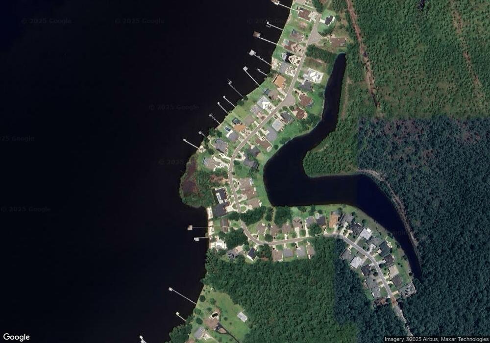
Map
Nearby Homes
- 7985 Otis Way
- 709 Jester Ct
- 7934 Castle Pointe Way
- 7934 Castle Pt Way
- 11388 Aruba Dr
- 730 Hanna's Terrace
- 11663 Aruba Dr
- 11605 Aruba Dr
- Plan 1434 at Emerald Heights
- Plan 1901 at Emerald Heights
- Plan 1820 at Emerald Heights
- Plan 1425 at Emerald Heights
- Plan 2025 at Emerald Heights
- Plan 1648 at Emerald Heights
- Plan 1817 at Emerald Heights
- Plan 1503 at Emerald Heights
- Plan 1717 at Emerald Heights
- 1997 Crown Pointe Blvd
- 12078 Emerald Heights Ln
- 12099 Emerald Heights Ln Unit 4B
- 7989 Otis Way
- 7981 Otis Way
- 716 Jester Ct
- 710 Jester Ct
- 7993 Otis Way
- 7977 Otis Way
- 35B Crown Pointe Blvd
- 00 Crown Pointe Blvd
- 18B Crown Pointe Blvd
- 0000 Crown Pointe Blvd Unit 33A
- 21/B Crown Pointe Blvd
- 0000 Crown Pointe Blvd
- 35/B Crown Pointe Blvd
- 720 Jester Ct
- 7984 Otis Way
- 7988 Otis Way
- 7980 Otis Way
- 700 Jester Ct
- 7997 Otis Way
- 7992 Otis Way