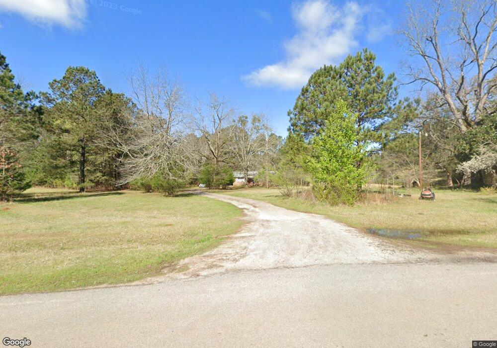
1980 Cunningham Rd Greensboro, GA 30642
Estimated Value: $140,535 - $307,000
--
Bed
1
Bath
1,063
Sq Ft
$198/Sq Ft
Est. Value
About This Home
This home is located at 1980 Cunningham Rd, Greensboro, GA 30642 and is currently estimated at $210,634, approximately $198 per square foot. 1980 Cunningham Rd is a home located in Greene County with nearby schools including Greene County High School.
Ownership History
Date
Name
Owned For
Owner Type
Purchase Details
Closed on
Mar 5, 2024
Sold by
Reed Patricia Cunningham
Bought by
Lwp Cunningham Property Llc
Current Estimated Value
Purchase Details
Closed on
Mar 18, 2014
Sold by
Reed Patricia Cunningham
Bought by
Lwp Cunningham Property Llc
Purchase Details
Closed on
Jan 1, 2014
Sold by
Reed Patricia C
Bought by
Reed Patricia C
Purchase Details
Closed on
Feb 10, 1997
Sold by
Rhodes Stanley and Rhodes Viette
Bought by
Cunningham Lorenzo and Illie Mae
Purchase Details
Closed on
Jan 1, 1980
Bought by
Rhodes Stanley and Rhodes Viette
Create a Home Valuation Report for This Property
The Home Valuation Report is an in-depth analysis detailing your home's value as well as a comparison with similar homes in the area
Home Values in the Area
Average Home Value in this Area
Purchase History
| Date | Buyer | Sale Price | Title Company |
|---|---|---|---|
| Lwp Cunningham Property Llc | -- | -- | |
| Cunningham Reed Patricia | -- | -- | |
| Lwp Cunningham Property Llc | -- | -- | |
| Reed Patricia C | -- | -- | |
| Cunningham Lorenzo | $15,000 | -- | |
| Rhodes Stanley | -- | -- |
Source: Public Records
Tax History Compared to Growth
Tax History
| Year | Tax Paid | Tax Assessment Tax Assessment Total Assessment is a certain percentage of the fair market value that is determined by local assessors to be the total taxable value of land and additions on the property. | Land | Improvement |
|---|---|---|---|---|
| 2024 | $997 | $48,960 | $4,120 | $44,840 |
| 2023 | $941 | $46,000 | $3,880 | $42,120 |
| 2022 | $582 | $23,360 | $3,000 | $20,360 |
| 2021 | $558 | $20,920 | $3,000 | $17,920 |
| 2020 | $538 | $18,160 | $1,800 | $16,360 |
| 2019 | $548 | $18,160 | $1,800 | $16,360 |
| 2018 | $526 | $18,160 | $1,800 | $16,360 |
| 2017 | $501 | $18,196 | $1,808 | $16,388 |
| 2016 | $513 | $18,814 | $1,808 | $17,006 |
| 2015 | $488 | $18,814 | $1,808 | $17,006 |
| 2014 | $487 | $18,304 | $1,808 | $16,495 |
Source: Public Records
Map
Nearby Homes
- 1251 Adams Rd
- 0 Cunningham Rd
- 2260 Cunningham Rd
- 0 Old Union Point Rd Unit 1 10557753
- 3021 Penfield Rd
- 0 Shady Side Ln
- 0 Union Point Hwy Unit 69532
- 0 Union Point Hwy Unit 7607786
- 0 Union Point Hwy Unit 10555176
- 1251 Brick House Rd
- 1251 Brickhouse Rd
- 0 Washington Hwy Unit 7276060
- 0 S Rhodes St Unit 10618488
- 1211 Peachtree Ave W
- 1641 Bowden Pond Rd
- 1141 Planing Mill Rd
- 1131 Planing Mill Rd
- 324 N Rhodes St
- 1241 Old Siloam Rd
- LOT 1 Penfield