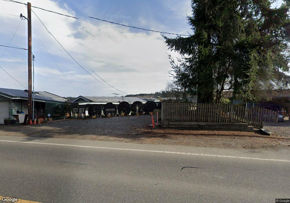
1980 E State Route 3 Shelton, WA 98584
Estimated Value: $444,000 - $578,000
3
Beds
2
Baths
1,251
Sq Ft
$413/Sq Ft
Est. Value
About This Home
This home is located at 1980 E State Route 3, Shelton, WA 98584 and is currently estimated at $516,063, approximately $412 per square foot. 1980 E State Route 3 is a home located in Mason County with nearby schools including Evergreen Elementary School, Olympic Middle School, and Oakland Bay Junior High School.
Ownership History
Date
Name
Owned For
Owner Type
Purchase Details
Closed on
Jul 28, 2005
Sold by
Ashby Roger C and Ashby Patti J
Bought by
Nowacki Jane Carol
Current Estimated Value
Home Financials for this Owner
Home Financials are based on the most recent Mortgage that was taken out on this home.
Original Mortgage
$215,200
Interest Rate
5.48%
Mortgage Type
New Conventional
Create a Home Valuation Report for This Property
The Home Valuation Report is an in-depth analysis detailing your home's value as well as a comparison with similar homes in the area
Home Values in the Area
Average Home Value in this Area
Purchase History
| Date | Buyer | Sale Price | Title Company |
|---|---|---|---|
| Nowacki Jane Carol | $269,000 | Mason County Title Company |
Source: Public Records
Mortgage History
| Date | Status | Borrower | Loan Amount |
|---|---|---|---|
| Closed | Nowacki Jane Carol | $215,200 |
Source: Public Records
Tax History Compared to Growth
Tax History
| Year | Tax Paid | Tax Assessment Tax Assessment Total Assessment is a certain percentage of the fair market value that is determined by local assessors to be the total taxable value of land and additions on the property. | Land | Improvement |
|---|---|---|---|---|
| 2025 | $3,671 | $431,675 | $145,555 | $286,120 |
| 2023 | $3,671 | $369,745 | $135,635 | $234,110 |
| 2022 | $4,007 | $343,930 | $157,715 | $186,215 |
| 2021 | $4,140 | $343,930 | $157,715 | $186,215 |
| 2020 | $3,402 | $327,355 | $155,255 | $172,100 |
| 2018 | $3,107 | $195,860 | $72,900 | $122,960 |
| 2017 | $2,564 | $195,860 | $72,900 | $122,960 |
| 2016 | $2,514 | $179,560 | $72,900 | $106,660 |
| 2015 | $2,283 | $177,475 | $72,900 | $104,575 |
| 2014 | -- | $161,095 | $64,800 | $96,295 |
| 2013 | -- | $165,145 | $68,850 | $96,295 |
Source: Public Records
Map
Nearby Homes
- 0 Lot 9-10 E Seamount Way
- 0 Lot 13 E Peyton Place
- 30 E Bridger Ln
- 61 E Panorama Dr
- 211 E Shoreline Ln
- 460 E Wood Ln
- 280 E Wood Ln
- 470 E Wood Ln
- 620 Maple St
- 200 E Panorama Dr
- 540 E Wood Ln
- 40 E Wood Ln
- 3 .29Acres Tideland
- 321 E Panorama Dr
- 190 E Shorecrest Dr
- 0 E Panorama Dr Unit Lot15 NWM2377935
- 1110 Washington 3
- 371 E Panorama Dr
- 6 E Swindler's Cove Rd
- 7 E Swindler's Cove Rd
- 1982 E State Route 3
- 1960 E State Route 3
- 1960 Washington 3
- 1950 E State Route 3
- 2010 E State Route 3
- 1890 E State Route 3
- 2050 E State Route 3
- 1991 E State Route 3
- 2052 E St Rte 3
- 2052 E State Route 3
- 1931 E State Route 3
- 2080 E State Route 3
- 1933 E State Route 3
- 1882 E State Route 3
- 1882 Washington 3
- 2110 E State Route 3
- 1997 E State Route 3
- 1995 E State Route 3
- 1791 E State Route 3
- 1993 E State Route 3