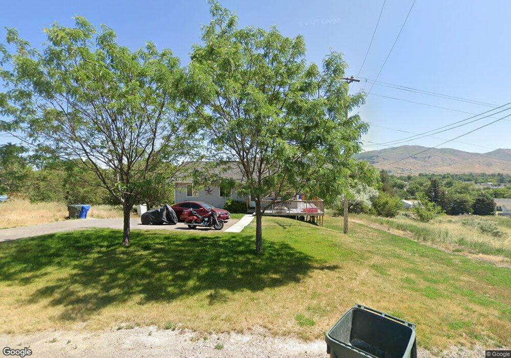
1980 Grandview Ave Unit A Pocatello, ID 83204
West Pocatello NeighborhoodEstimated Value: $346,000 - $510,000
6
Beds
4
Baths
2,240
Sq Ft
$191/Sq Ft
Est. Value
About This Home
This home is located at 1980 Grandview Ave Unit A, Pocatello, ID 83204 and is currently estimated at $428,094, approximately $191 per square foot. 1980 Grandview Ave Unit A is a home located in Bannock County with nearby schools including Indian Hills Elementary School, Irving Middle School, and Pocatello High School.
Ownership History
Date
Name
Owned For
Owner Type
Purchase Details
Closed on
Jun 24, 2008
Sold by
Robinson Krista
Bought by
Shryock Sean W
Current Estimated Value
Home Financials for this Owner
Home Financials are based on the most recent Mortgage that was taken out on this home.
Original Mortgage
$129,600
Outstanding Balance
$82,908
Interest Rate
5.99%
Mortgage Type
New Conventional
Estimated Equity
$345,186
Create a Home Valuation Report for This Property
The Home Valuation Report is an in-depth analysis detailing your home's value as well as a comparison with similar homes in the area
Home Values in the Area
Average Home Value in this Area
Purchase History
| Date | Buyer | Sale Price | Title Company |
|---|---|---|---|
| Shryock Sean W | -- | -- |
Source: Public Records
Mortgage History
| Date | Status | Borrower | Loan Amount |
|---|---|---|---|
| Open | Shryock Sean W | $129,600 |
Source: Public Records
Tax History Compared to Growth
Tax History
| Year | Tax Paid | Tax Assessment Tax Assessment Total Assessment is a certain percentage of the fair market value that is determined by local assessors to be the total taxable value of land and additions on the property. | Land | Improvement |
|---|---|---|---|---|
| 2024 | $3,354 | $287,693 | $74,000 | $213,693 |
| 2023 | $3,406 | $283,250 | $69,000 | $214,250 |
| 2022 | $3,406 | $199,418 | $30,578 | $168,840 |
| 2021 | $3,458 | $199,418 | $30,578 | $168,840 |
| 2020 | $3,246 | $204,121 | $30,578 | $173,543 |
| 2019 | $3,979 | $204,121 | $30,578 | $173,543 |
| 2018 | $3,390 | $151,202 | $22,651 | $128,551 |
| 2017 | $3,364 | $151,202 | $22,651 | $128,551 |
| 2016 | $3,336 | $151,202 | $22,651 | $128,551 |
| 2015 | $3,370 | $0 | $0 | $0 |
| 2012 | -- | $151,202 | $22,651 | $128,551 |
Source: Public Records
Map
Nearby Homes
- 2225 Clinton St
- 1800 S Grant Ave
- 1968 S 1st Ave
- 1957 S 1st Ave
- 1601 S 2nd Ave
- 2850 Bannock Hwy
- 1935 S 5th Ave Unit B11
- 2548 S 2nd Ave
- 1258 S 3rd Ave
- 231 ACRES S 5th Ave
- 00 S 5th Ave
- 3161 Lundburg Ln
- Lot 14 Blk 1 Fieldstone Dr
- Lot 13 Blk 1 Fieldstone Dr
- 807 S Harrison Ave
- 3325 Duck Hook Dr
- 930 Shale Dr
- 3333 & 3345 Bannock Hwy
- 3336 Lundburg Ln
- 631 S Hayes Ave
- 2015 S Grant Ave
- 1969 Grandview Ave
- 1989 S Grant Ave
- 2145 S Grant Ave
- 1915 Grandview Ave
- 1979 Grandview Ave
- 2050 S Grant Ave
- 2074 S Grant Ave
- 2120 S Grant Ave
- 2220 Clinton St
- 2220 Clinton St Unit A&B
- 2098 S Grant Ave
- 1946 S Grant Ave
- 2210 Clinton St
- 2240 Clinton St
- 2026 S Grant Ave
- 2230 Clinton St
- 496 Clinton St Unit A
- 1901 Parr Rd
- 494 Clinton St