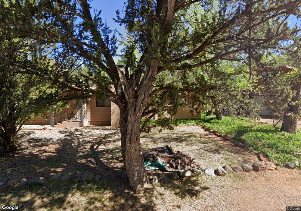
1980 Iris Ln Sedona, AZ 86336
Estimated Value: $516,257 - $627,000
Studio
--
Bath
1,040
Sq Ft
$548/Sq Ft
Est. Value
About This Home
This home is located at 1980 Iris Ln, Sedona, AZ 86336 and is currently estimated at $569,564, approximately $547 per square foot. 1980 Iris Ln is a home located in Yavapai County with nearby schools including West Sedona Elementary School, Sedona Red Rock Junior/Senior High School, and Sedona Charter School.
Ownership History
Date
Name
Owned For
Owner Type
Purchase Details
Closed on
Nov 17, 2020
Sold by
Larson Robert B and The Larson Trust
Bought by
1980 Iris Lane Llc
Current Estimated Value
Purchase Details
Closed on
Sep 2, 2009
Sold by
Larson Robert S and Larson Loretta M
Bought by
1980 Iris Lane Llc
Purchase Details
Closed on
Aug 18, 2009
Sold by
Larson Robert S and Larson Loretta M
Bought by
Larson Robert S and Larson Loretta M
Purchase Details
Closed on
Jan 23, 1999
Sold by
Larson John Thomas and Larson Pamela Ann
Bought by
Larson Robert S and Larson Loretta M
Create a Home Valuation Report for This Property
The Home Valuation Report is an in-depth analysis detailing your home's value as well as a comparison with similar homes in the area
Home Values in the Area
Average Home Value in this Area
Purchase History
| Date | Buyer | Sale Price | Title Company |
|---|---|---|---|
| 1980 Iris Lane Llc | -- | None Available | |
| 1980 Iris Lane Llc | -- | None Available | |
| Larson Robert S | -- | None Available | |
| Larson Robert S | $122,000 | Transnation Title Ins Co |
Source: Public Records
Tax History
| Year | Tax Paid | Tax Assessment Tax Assessment Total Assessment is a certain percentage of the fair market value that is determined by local assessors to be the total taxable value of land and additions on the property. | Land | Improvement |
|---|---|---|---|---|
| 2026 | $1,874 | $36,820 | -- | -- |
| 2024 | $1,825 | $35,390 | -- | -- |
| 2023 | $1,825 | $25,983 | $9,644 | $16,339 |
| 2022 | $1,792 | $20,154 | $7,319 | $12,835 |
| 2021 | $1,821 | $19,124 | $6,598 | $12,526 |
| 2020 | $1,856 | $0 | $0 | $0 |
| 2019 | $1,838 | $0 | $0 | $0 |
| 2018 | $1,822 | $0 | $0 | $0 |
| 2017 | $1,773 | $0 | $0 | $0 |
| 2016 | $1,750 | $0 | $0 | $0 |
| 2015 | -- | $0 | $0 | $0 |
| 2014 | -- | $0 | $0 | $0 |
Source: Public Records
Map
Nearby Homes
- 1960 Iris Ln
- 65 Grounds Dr
- 485 Mountain Shadows Dr
- 95 Amberly Dr Unit 28
- 260 Coffee Pot Dr Unit 6
- 30 Pony Soldier Cir
- 50 Zane Grey Cir
- 30 Schimberg Rd
- 2190 Sanborn Dr
- 215 Mountain Shadows Dr
- 275 Goodrow Ln
- 2230 Edgewood Dr
- 25 Pony Soldier Rd
- 240 Goodrow Ln
- 2050 W State Route 89a Unit 96
- 75 Santa Barbara Dr
- 90 Hilltop Rd Unit 29
- 445 Last Wagon Dr
- 2155 W State Route 89a Unit 103
- 2155 W State Route 89a Unit 204
Your Personal Tour Guide
Ask me questions while you tour the home.