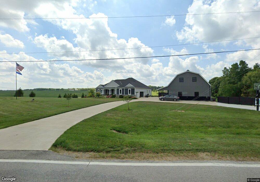
1980 Lawrence Rd Delaware, OH 43015
Estimated Value: $566,000 - $757,380
3
Beds
3
Baths
2,545
Sq Ft
$255/Sq Ft
Est. Value
About This Home
This home is located at 1980 Lawrence Rd, Delaware, OH 43015 and is currently estimated at $649,345, approximately $255 per square foot. 1980 Lawrence Rd is a home with nearby schools including Buckeye Valley High School.
Ownership History
Date
Name
Owned For
Owner Type
Purchase Details
Closed on
Jun 8, 2018
Sold by
Whiteside Kirt E and Whiteside Karen S
Bought by
Whiteside Preservation Trust
Current Estimated Value
Purchase Details
Closed on
Jul 15, 2015
Sold by
Belville Stephen E and Belville Susan E
Bought by
Whiteside Kirt E and Whiteside Karen S
Purchase Details
Closed on
Aug 21, 1992
Bought by
Lockwood Donald J Marlene C
Create a Home Valuation Report for This Property
The Home Valuation Report is an in-depth analysis detailing your home's value as well as a comparison with similar homes in the area
Home Values in the Area
Average Home Value in this Area
Purchase History
| Date | Buyer | Sale Price | Title Company |
|---|---|---|---|
| Whiteside Preservation Trust | -- | None Available | |
| Whiteside Kirt E | $4,500 | Lawyers Title Agency Of Del | |
| Whiteside Kirt E | $59,300 | Lawyers Title Agency Of Dela | |
| Lockwood Donald J Marlene C | $25,500 | -- |
Source: Public Records
Tax History Compared to Growth
Tax History
| Year | Tax Paid | Tax Assessment Tax Assessment Total Assessment is a certain percentage of the fair market value that is determined by local assessors to be the total taxable value of land and additions on the property. | Land | Improvement |
|---|---|---|---|---|
| 2024 | $8,581 | $232,480 | $37,700 | $194,780 |
| 2023 | $8,577 | $232,480 | $37,700 | $194,780 |
| 2022 | $7,449 | $179,030 | $25,170 | $153,860 |
| 2021 | $7,451 | $179,030 | $25,170 | $153,860 |
| 2020 | $7,611 | $179,030 | $25,170 | $153,860 |
| 2019 | $6,478 | $150,090 | $21,880 | $128,210 |
| 2018 | $6,574 | $150,090 | $21,880 | $128,210 |
| 2017 | $3,343 | $18,030 | $18,030 | $0 |
| 2016 | $723 | $18,030 | $18,030 | $0 |
| 2015 | $754 | $18,030 | $18,030 | $0 |
| 2014 | $706 | $18,030 | $18,030 | $0 |
| 2013 | $742 | $18,030 | $18,030 | $0 |
Source: Public Records
Map
Nearby Homes
- 2390 Penry Rd
- 3414 State Route 203
- 210 Glemsbury Dr
- 3935 N Section Line Rd
- 2266 Dates St
- 2310 Troy Rd
- 2200 Dates St
- 2238 Farmland Dr
- 2143 Farmland Dr
- 1258 Hills Miller Rd
- 63 Lantern Chase Dr
- 315 Timbersmith Dr
- 518 Lamplight Dr
- 1859 State Route 257 N
- 2132 Ohio 257
- Holcombe Plan at Springer Woods
- Aldridge Plan at Springer Woods
- Harmony Plan at Springer Woods
- Fairton Plan at Springer Woods
- Bellamy Plan at Springer Woods
- 1983 Lawrence Rd Unit Tract 2
- 1983 Lawrence Rd Unit Tract 3
- 1890 Lawrence Rd
- 1841 State Route 203
- 1899 Lawrence Rd
- 1784 State Route 203
- 1745 State Route 203
- 1888 Lawrence Rd
- 1700 State Route 203
- 1880 Lawrence Rd
- 1707 State Route 203
- 1773 Lawrence Rd
- 0 State Route 203
- 3579 Buttermilk Hill Rd
- 3579 Buttermilk Hill Rd
- 1632 State Route 203
- 2290 State Route 203
- 1597 State Route 203
- 3509 Buttermilk Hill Rd
- 3459 Buttermilk Hill Rd