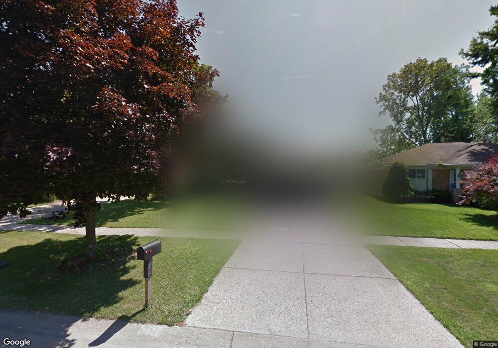
1980 Morrison Blvd Unit Bldg-Unit Canton, MI 48187
Estimated Value: $374,000 - $411,000
--
Bed
2
Baths
1,904
Sq Ft
$206/Sq Ft
Est. Value
About This Home
This home is located at 1980 Morrison Blvd Unit Bldg-Unit, Canton, MI 48187 and is currently estimated at $391,959, approximately $205 per square foot. 1980 Morrison Blvd Unit Bldg-Unit is a home located in Wayne County with nearby schools including Canton High School, Discovery Middle School, and Salem High School.
Ownership History
Date
Name
Owned For
Owner Type
Purchase Details
Closed on
May 22, 2024
Sold by
Amb Realty Llc
Bought by
Al-Ali Basil
Current Estimated Value
Home Financials for this Owner
Home Financials are based on the most recent Mortgage that was taken out on this home.
Original Mortgage
$265,000
Outstanding Balance
$261,284
Interest Rate
6.88%
Mortgage Type
New Conventional
Estimated Equity
$130,675
Purchase Details
Closed on
Feb 29, 2024
Sold by
Kostielney Craig A
Bought by
Amb Realty Llc
Home Financials for this Owner
Home Financials are based on the most recent Mortgage that was taken out on this home.
Original Mortgage
$307,500
Interest Rate
6.6%
Mortgage Type
Credit Line Revolving
Purchase Details
Closed on
Dec 5, 1996
Sold by
Luman Mark and Luman Elizabeth
Bought by
Kostielney Craig A
Create a Home Valuation Report for This Property
The Home Valuation Report is an in-depth analysis detailing your home's value as well as a comparison with similar homes in the area
Home Values in the Area
Average Home Value in this Area
Purchase History
| Date | Buyer | Sale Price | Title Company |
|---|---|---|---|
| Al-Ali Basil | $365,000 | None Listed On Document | |
| Al-Ali Basil | $365,000 | None Listed On Document | |
| Al-Ali Basil | $365,000 | None Listed On Document | |
| Amb Realty Llc | $289,000 | Ata National Title | |
| Amb Realty Llc | $289,000 | Ata National Title | |
| Amb Realty Llc | $289,000 | Ata National Title | |
| Kostielney Craig A | $154,000 | -- |
Source: Public Records
Mortgage History
| Date | Status | Borrower | Loan Amount |
|---|---|---|---|
| Open | Al-Ali Basil | $265,000 | |
| Closed | Al-Ali Basil | $265,000 | |
| Previous Owner | Amb Realty Llc | $307,500 |
Source: Public Records
Tax History Compared to Growth
Tax History
| Year | Tax Paid | Tax Assessment Tax Assessment Total Assessment is a certain percentage of the fair market value that is determined by local assessors to be the total taxable value of land and additions on the property. | Land | Improvement |
|---|---|---|---|---|
| 2025 | $1,555 | $162,100 | $0 | $0 |
| 2024 | $1,555 | $142,000 | $0 | $0 |
| 2023 | $2,976 | $129,400 | $0 | $0 |
| 2022 | $4,724 | $115,900 | $0 | $0 |
| 2021 | $4,820 | $112,600 | $0 | $0 |
| 2020 | $4,857 | $107,000 | $0 | $0 |
| 2019 | $4,531 | $103,560 | $0 | $0 |
| 2018 | $2,561 | $98,830 | $0 | $0 |
| 2017 | $3,208 | $95,800 | $0 | $0 |
| 2016 | $4,088 | $92,600 | $0 | $0 |
| 2015 | $6,926 | $77,940 | $0 | $0 |
| 2013 | $6,709 | $70,570 | $0 | $0 |
| 2010 | -- | $78,300 | $34,588 | $43,712 |
Source: Public Records
Map
Nearby Homes
- 1494 Ranier Blvd
- 1796 Oakview Dr
- 6011 Beaufort Dr
- 58560 Stuart Dr
- 43530 Westminister Way
- 42479 Redfern St
- 43625 Westminister Way
- 1322 Saltz Ct
- 43737 Westminister Way
- 43706 Westminister Way
- 42540 Lilley Pointe Dr
- 41708 Bedford Dr
- 42771 Lilley Pointe Dr Unit 154
- 41715 Bedford Dr
- 42789 Lilley Pointe Dr Unit 146
- 42473 Lilley Pointe Dr Unit 39
- 43168 Hanford Rd
- 6514 Carriage Hills Dr
- 6530 Paul Revere Ln
- 7125 N Lilley Rd
- 1980 Morrison Blvd
- 1998 Morrison Blvd
- 1962 Morrison Blvd
- 1944 Morrison Blvd
- 2016 Morrison Blvd
- 1961 Manton Blvd
- 2033 Manton Blvd
- 1943 Manton Blvd
- 2034 Morrison Blvd
- 1924 Morrison Blvd
- 1925 Manton Blvd
- 1977 Morrison Blvd
- 1959 Morrison Blvd
- 1943 Morrison Blvd
- 1995 Morrison Blvd
- 1923 Morrison Blvd
- 2011 Morrison Blvd
- 2054 Morrison Blvd
- 2054 Morrison Blvd
- 1991 Manton Blvd