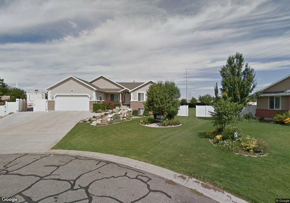
1980 S 400 E Kaysville, UT 84037
West Kaysville NeighborhoodEstimated Value: $753,000 - $897,000
5
Beds
3
Baths
2,511
Sq Ft
$330/Sq Ft
Est. Value
About This Home
This home is located at 1980 S 400 E, Kaysville, UT 84037 and is currently estimated at $829,019, approximately $330 per square foot. 1980 S 400 E is a home with nearby schools including Endeavour Elementary School, Farmington High, and Centennial Junior High School.
Ownership History
Date
Name
Owned For
Owner Type
Purchase Details
Closed on
Oct 30, 2001
Sold by
Andreasen Matthew and Andreasen Ann
Bought by
Andreasen Matthew and Andreasen Ann
Current Estimated Value
Purchase Details
Closed on
Mar 5, 2001
Sold by
Twin Oaks Lp
Bought by
Andreasen Matthew and Andreasen Ann
Purchase Details
Closed on
Dec 1, 2000
Sold by
Southridge Development Corp and Frost Robert F
Bought by
Twin Oaks Lp
Create a Home Valuation Report for This Property
The Home Valuation Report is an in-depth analysis detailing your home's value as well as a comparison with similar homes in the area
Home Values in the Area
Average Home Value in this Area
Purchase History
| Date | Buyer | Sale Price | Title Company |
|---|---|---|---|
| Andreasen Matthew | -- | Associated Title Company | |
| Andreasen Matthew | -- | Bonneville Title Company Inc | |
| Twin Oaks Lp | -- | Bonneville Title Company Inc |
Source: Public Records
Tax History Compared to Growth
Tax History
| Year | Tax Paid | Tax Assessment Tax Assessment Total Assessment is a certain percentage of the fair market value that is determined by local assessors to be the total taxable value of land and additions on the property. | Land | Improvement |
|---|---|---|---|---|
| 2024 | $3,951 | $404,251 | $241,753 | $162,498 |
| 2023 | $4,031 | $730,000 | $418,781 | $311,219 |
| 2022 | $4,071 | $416,900 | $228,005 | $188,895 |
| 2021 | $4,057 | $622,000 | $227,374 | $394,626 |
| 2020 | $3,659 | $545,000 | $195,799 | $349,201 |
| 2019 | $3,624 | $530,000 | $190,112 | $339,888 |
| 2018 | $3,456 | $503,000 | $163,093 | $339,907 |
| 2016 | $3,244 | $247,280 | $96,804 | $150,476 |
| 2015 | $3,321 | $240,350 | $96,804 | $143,546 |
| 2014 | $2,870 | $211,369 | $73,430 | $137,939 |
| 2013 | -- | $164,846 | $52,610 | $112,236 |
Source: Public Records
Map
Nearby Homes
- 2071 S 400 E
- 278 E Shepard Ln
- 276 E 2200 S
- 1332 N 1580 W
- 926 N 1875 W
- 1820 S Kerrybrook Dr
- 2261 S 50 E
- 419 E 1700 S
- 1566 W Pheasant Place
- 2274 S 50 E
- 1181 Set Ct Unit 2
- 69 W 2200 S
- 1578 S 300 E
- 2266 S Betsys Way
- 2226 S Betsys Way
- 87 Baer Creek Dr
- 1472 Via la Costa Way
- 1356 Fairway Cir
- 1424 S 400 E
- 1406 Swinton Ln