19800 SW Tv Tower Rd Sheridan, OR 97378
Estimated Value: $544,000 - $710,857
3
Beds
2
Baths
2,152
Sq Ft
$284/Sq Ft
Est. Value
About This Home
This home is located at 19800 SW Tv Tower Rd, Sheridan, OR 97378 and is currently estimated at $610,952, approximately $283 per square foot. 19800 SW Tv Tower Rd is a home located in Yamhill County with nearby schools including Faulconer-Chapman School, Sheridan High School, and Sheridan Allprep Academy.
Ownership History
Date
Name
Owned For
Owner Type
Purchase Details
Closed on
Oct 16, 2023
Sold by
Harris Michael D and Harris Rochelle K
Bought by
Harris Michael D and Harris Rochelle K
Current Estimated Value
Home Financials for this Owner
Home Financials are based on the most recent Mortgage that was taken out on this home.
Original Mortgage
$173,519
Outstanding Balance
$168,115
Interest Rate
7.12%
Mortgage Type
New Conventional
Estimated Equity
$442,837
Purchase Details
Closed on
May 2, 2008
Sold by
Harris Rochelle K and Wood Rochelle K
Bought by
Harris Michael D and Harris Rochelle K
Home Financials for this Owner
Home Financials are based on the most recent Mortgage that was taken out on this home.
Original Mortgage
$320,000
Interest Rate
5.88%
Mortgage Type
Stand Alone Refi Refinance Of Original Loan
Create a Home Valuation Report for This Property
The Home Valuation Report is an in-depth analysis detailing your home's value as well as a comparison with similar homes in the area
Home Values in the Area
Average Home Value in this Area
Purchase History
| Date | Buyer | Sale Price | Title Company |
|---|---|---|---|
| Harris Michael D | -- | Chicago Title | |
| Harris Michael D | -- | First American Title |
Source: Public Records
Mortgage History
| Date | Status | Borrower | Loan Amount |
|---|---|---|---|
| Open | Harris Michael D | $173,519 | |
| Previous Owner | Harris Michael D | $320,000 |
Source: Public Records
Tax History Compared to Growth
Tax History
| Year | Tax Paid | Tax Assessment Tax Assessment Total Assessment is a certain percentage of the fair market value that is determined by local assessors to be the total taxable value of land and additions on the property. | Land | Improvement |
|---|---|---|---|---|
| 2025 | $4,740 | $414,953 | -- | -- |
| 2024 | $4,307 | $402,867 | -- | -- |
| 2023 | $4,183 | $391,133 | $0 | $0 |
| 2022 | $4,068 | $379,741 | $0 | $0 |
| 2021 | $4,735 | $368,681 | $0 | $0 |
| 2020 | $4,571 | $357,943 | $0 | $0 |
| 2019 | $4,499 | $347,517 | $0 | $0 |
| 2018 | $4,373 | $337,395 | $0 | $0 |
| 2017 | $4,299 | $327,568 | $0 | $0 |
| 2016 | $4,201 | $318,027 | $0 | $0 |
| 2015 | $4,044 | $308,766 | $0 | $0 |
| 2014 | $3,939 | $299,774 | $0 | $0 |
Source: Public Records
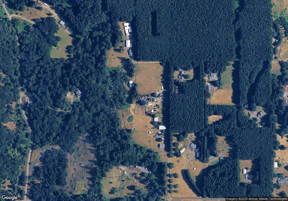
Map
Nearby Homes
- 1429 NE Center St
- 21000 SW Canyon Rd
- 20700 SW Cherry Hill Rd
- 18940 SW Canyon Rd
- 1200 NE Center St Unit Par 1
- 1200 NE Center St Unit Parce2
- 1200 NE Center St Unit Par3
- 25560 SW Valley View Ln
- 0 SW Rock Creek Rd Unit 216113550
- 0 SW Rock Creek Rd Unit 827138
- 0 NE Center St Unit 1 491349230
- 0 NE Center St Unit 2 430429617
- 0 NE Center St Unit 3 552444847
- 0 NE Center St Unit 4 271594201
- 1200 Blk NE Center St Unit Parcel 4
- 510 NE Hill St
- 240 NW Sagan Loop
- 785 NE Blair St
- 119 NW Sherman St
- 347 NE Oak St
- 19600 SW Tv Tower Rd
- 26895 SW Mayette Dr
- 19900 SW Tv Tower Rd
- 19592 SW Tv Tower Rd
- 19655 SW Canyon Rd
- 26875 SW Mayette Dr
- 0 SE Mayette Dr Unit 647322
- 0 SE Mayette Dr Unit 8065594
- 0 SE Mayette Dr Unit 601 11288096
- 19455 SW Canyon Rd
- 0 SW Regia Dr
- 19645 SW Canyon Rd
- 26790 SW Mayette Dr
- 26903 SW Regia Dr
- 26710 SW Regia Dr
- 0 SW Canyon Rd
- 27005 SW Regia Dr
- 26815 SW Regia Dr
- 19459 SW Canyon Rd
- 26850 Mayette Dr