19801 Olmstead Rd NE Aurora, OR 97002
Estimated Value: $873,708 - $917,000
3
Beds
3
Baths
2,565
Sq Ft
$349/Sq Ft
Est. Value
About This Home
This home is located at 19801 Olmstead Rd NE, Aurora, OR 97002 and is currently estimated at $895,354, approximately $349 per square foot. 19801 Olmstead Rd NE is a home located in Marion County with nearby schools including North Marion Primary School, North Marion Middle School, and North Marion High School.
Ownership History
Date
Name
Owned For
Owner Type
Purchase Details
Closed on
Oct 9, 2001
Sold by
Leblanc William J and Leblanc Donna G
Bought by
Westendorf Roger and Westendorf Carol G
Current Estimated Value
Home Financials for this Owner
Home Financials are based on the most recent Mortgage that was taken out on this home.
Original Mortgage
$230,000
Outstanding Balance
$88,162
Interest Rate
6.91%
Estimated Equity
$807,192
Create a Home Valuation Report for This Property
The Home Valuation Report is an in-depth analysis detailing your home's value as well as a comparison with similar homes in the area
Home Values in the Area
Average Home Value in this Area
Purchase History
| Date | Buyer | Sale Price | Title Company |
|---|---|---|---|
| Westendorf Roger | $340,000 | Key Title Company |
Source: Public Records
Mortgage History
| Date | Status | Borrower | Loan Amount |
|---|---|---|---|
| Open | Westendorf Roger | $230,000 |
Source: Public Records
Tax History Compared to Growth
Tax History
| Year | Tax Paid | Tax Assessment Tax Assessment Total Assessment is a certain percentage of the fair market value that is determined by local assessors to be the total taxable value of land and additions on the property. | Land | Improvement |
|---|---|---|---|---|
| 2025 | $3,089 | $276,320 | -- | -- |
| 2024 | $3,089 | $268,390 | -- | -- |
| 2023 | $2,975 | $260,698 | $0 | $0 |
| 2022 | $2,820 | $253,235 | $0 | $0 |
| 2021 | $2,724 | $245,970 | $0 | $0 |
| 2020 | $2,662 | $238,930 | $0 | $0 |
| 2019 | $2,608 | $232,110 | $0 | $0 |
| 2018 | $2,529 | $0 | $0 | $0 |
| 2017 | $2,370 | $0 | $0 | $0 |
| 2016 | $2,319 | $0 | $0 | $0 |
| 2015 | $2,278 | $0 | $0 | $0 |
| 2014 | $2,200 | $0 | $0 | $0 |
Source: Public Records
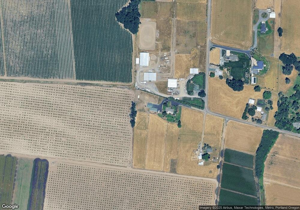
Map
Nearby Homes
- 10772 Oak St NE
- 0 Donald Rd NE
- 11105 Main St NE Unit 11
- 11105 Main St NE
- 11105 Main St NE Unit 14
- 11105 Main St NE Unit 6
- 21988 Case (21938-22068) Rd
- 10667 Hovenden Ln NE
- 19601 Boones Ferry Rd NE
- 3766 10th St
- 10478 Crosby Rd NE
- Next To Champoeg Rd
- 3218 West Place
- 2143 Dorsey (-2145) Dr
- 2143 Dorsey Dr
- 2389 F St
- 2356 B St
- 776 Magnolia Ave
- 776 Magnolia Ave Unit 50
- 792 Magnolia Ave Unit 51
- 19811 Olmstead Rd NE
- 9728 Lariat Ln NE Unit 3
- 9728 Lariat Ln NE Unit 2
- 19762 Olmstead Rd NE
- 9758 Lariat Ln NE
- 9758 Lariat Ln NE Unit 2
- 9758 Lariat Ln NE Unit 3
- 19752 Olmstead Rd NE
- 9750 Laceleaf Ln NE
- 19742 Olmstead Rd NE
- 19722 Olmstead Rd NE
- 20242 Olmstead Rd NE
- 19536 Butteville Rd NE
- 19646 Butteville Rd NE
- 19765 Butteville Rd NE
- 9691 Higuera Ln NE
- 9722 Pennstar Ln NE
- 9621 Higuera Ln NE
- 19356 Butteville Rd NE
- 9742 Pennstar Ln NE