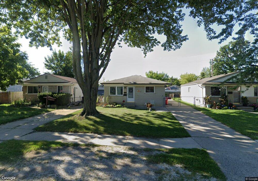
19806 Abrahm St Clinton Township, MI 48035
Estimated Value: $169,000 - $186,000
--
Bed
--
Bath
900
Sq Ft
$201/Sq Ft
Est. Value
About This Home
This home is located at 19806 Abrahm St, Clinton Township, MI 48035 and is currently estimated at $180,987, approximately $201 per square foot. 19806 Abrahm St is a home located in Macomb County with nearby schools including Clintondale High School and St. Thecla Catholic School.
Ownership History
Date
Name
Owned For
Owner Type
Purchase Details
Closed on
Feb 23, 2024
Sold by
Harris Jody G and Harris Sharon R
Bought by
Harris Jody G and Harris Jody G
Current Estimated Value
Purchase Details
Closed on
Sep 18, 1995
Sold by
Mosakowski D and Mosakowski P
Bought by
Poma F and Poma A
Purchase Details
Closed on
Aug 21, 1995
Sold by
Fred Kozee
Bought by
Mosakowski Patricia Kozee and Mosakowski David E
Create a Home Valuation Report for This Property
The Home Valuation Report is an in-depth analysis detailing your home's value as well as a comparison with similar homes in the area
Home Values in the Area
Average Home Value in this Area
Purchase History
| Date | Buyer | Sale Price | Title Company |
|---|---|---|---|
| Harris Jody G | -- | None Listed On Document | |
| Harris Jody G | -- | None Listed On Document | |
| Poma F | $63,500 | -- | |
| Mosakowski Patricia Kozee | $36,000 | -- |
Source: Public Records
Tax History Compared to Growth
Tax History
| Year | Tax Paid | Tax Assessment Tax Assessment Total Assessment is a certain percentage of the fair market value that is determined by local assessors to be the total taxable value of land and additions on the property. | Land | Improvement |
|---|---|---|---|---|
| 2025 | $1,655 | $79,500 | $0 | $0 |
| 2024 | $1,010 | $73,800 | $0 | $0 |
| 2023 | $958 | $67,600 | $0 | $0 |
| 2022 | $1,491 | $58,400 | $0 | $0 |
| 2021 | $1,450 | $54,100 | $0 | $0 |
| 2020 | $878 | $48,700 | $0 | $0 |
| 2019 | $1,357 | $41,100 | $0 | $0 |
| 2018 | $1,332 | $37,200 | $0 | $0 |
| 2017 | $1,316 | $32,800 | $5,500 | $27,300 |
| 2016 | $1,309 | $32,800 | $0 | $0 |
| 2015 | -- | $29,200 | $0 | $0 |
| 2014 | -- | $27,100 | $0 | $0 |
| 2011 | -- | $37,900 | $8,500 | $29,400 |
Source: Public Records
Map
Nearby Homes
- 20011 Abrahm St
- 0000 Garfield
- 34606 Beaconsfield St
- 20174 Abrahm St
- 20176 15 Mile Rd
- 34559 Chope Place
- 19793 Electra St
- 20309 Abrahm St
- 20410 Woodward St
- 35501 Griswald St
- 35403 Seville St
- 34161 Beaconsfield St
- 35375 Groesbeck Hwy
- 20550 Vermander Ave
- 20562 Vermander Ave
- 35685 Griswald St
- 20219 Finley St
- 34029 Little MacK Ave
- 19578 Opal St
- 19573 Heckman St
- 19814 Abrahm St
- 19798 Abrahm St
- 19790 Abrahm St
- 19822 Abrahm St
- 19813 Vermander Ave
- 19797 Vermander Ave
- 19830 Abrahm St
- 19782 Abrahm St
- 19821 Vermander Ave
- 19789 Vermander Ave
- 19838 Abrahm St
- 19774 Abrahm St
- 19829 Vermander Ave
- 19781 Vermander Ave
- 19803 Susan Ct
- 19771 Abrahm St
- 19763 Abrahm St
- 19775 Abrahm St Unit 131
- 19775 Abrahm St
- 19767 Abrahm St