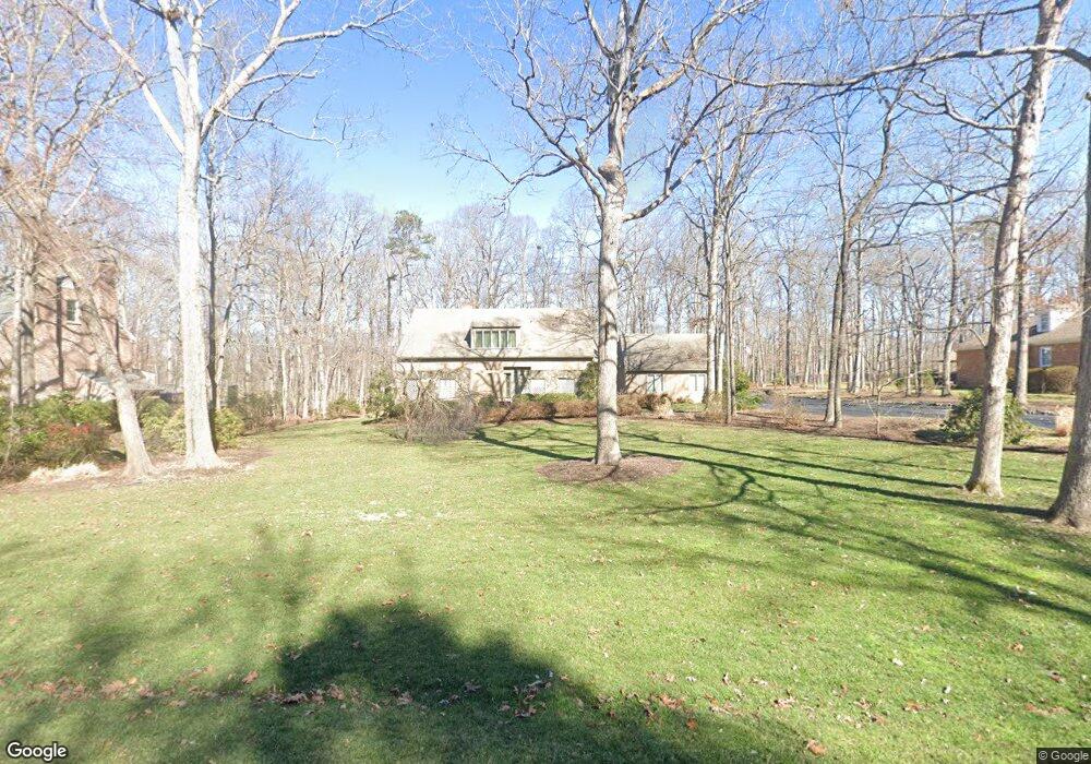
1981 Albion Rd Midlothian, VA 23113
Salisbury NeighborhoodEstimated Value: $681,000 - $779,000
3
Beds
4
Baths
2,838
Sq Ft
$259/Sq Ft
Est. Value
About This Home
This home is located at 1981 Albion Rd, Midlothian, VA 23113 and is currently estimated at $734,057, approximately $258 per square foot. 1981 Albion Rd is a home located in Chesterfield County with nearby schools including Bettie Weaver Elementary School, Midlothian Middle School, and Midlothian High School.
Ownership History
Date
Name
Owned For
Owner Type
Purchase Details
Closed on
Sep 15, 2022
Sold by
Esleeck Martha B
Bought by
Esleeck Martha B and Martha Blanchard Esleeck Revocable Trust
Current Estimated Value
Purchase Details
Closed on
Jun 28, 2002
Sold by
Wormald Francis A
Bought by
Esleeck R C R and Esleeck B M
Home Financials for this Owner
Home Financials are based on the most recent Mortgage that was taken out on this home.
Original Mortgage
$100,000
Interest Rate
6.92%
Mortgage Type
New Conventional
Purchase Details
Closed on
May 8, 2002
Bought by
Wormald Francis A and Wormald Anita R
Home Financials for this Owner
Home Financials are based on the most recent Mortgage that was taken out on this home.
Original Mortgage
$100,000
Interest Rate
6.92%
Mortgage Type
New Conventional
Create a Home Valuation Report for This Property
The Home Valuation Report is an in-depth analysis detailing your home's value as well as a comparison with similar homes in the area
Home Values in the Area
Average Home Value in this Area
Purchase History
| Date | Buyer | Sale Price | Title Company |
|---|---|---|---|
| Esleeck Martha B | -- | None Listed On Document | |
| Esleeck R C R | $315,000 | -- | |
| Wormald Francis A | -- | -- |
Source: Public Records
Mortgage History
| Date | Status | Borrower | Loan Amount |
|---|---|---|---|
| Previous Owner | Wormald Francis A | $100,000 | |
| Previous Owner | Wormald Francis A | $250,000 |
Source: Public Records
Tax History
| Year | Tax Paid | Tax Assessment Tax Assessment Total Assessment is a certain percentage of the fair market value that is determined by local assessors to be the total taxable value of land and additions on the property. | Land | Improvement |
|---|---|---|---|---|
| 2025 | $25 | $669,100 | $210,000 | $459,100 |
| 2024 | $25 | $618,000 | $177,000 | $441,000 |
| 2023 | $4,655 | $511,500 | $172,000 | $339,500 |
| 2022 | $4,730 | $514,100 | $172,000 | $342,100 |
| 2021 | $25 | $483,800 | $170,000 | $313,800 |
| 2020 | $4,494 | $473,000 | $170,000 | $303,000 |
| 2019 | $25 | $467,000 | $170,000 | $297,000 |
| 2018 | $25 | $467,000 | $170,000 | $297,000 |
| 2017 | $25 | $459,700 | $170,000 | $289,700 |
| 2016 | -- | $446,200 | $170,000 | $276,200 |
| 2015 | -- | $438,300 | $170,000 | $268,300 |
| 2014 | -- | $420,000 | $170,000 | $250,000 |
Source: Public Records
Map
Nearby Homes
- 14321 Heathland Terrace
- 1480 Railroad Ave
- 2303 Bream Dr
- 13607 Danwoods Rd
- 14420 Michaux Village Dr
- 1434 Sycamore Mews Cir
- 1813 Gildenborough Ct
- 1510 Sycamore Square Dr Unit 1510
- 1522 Sycamore Square Dr
- 1303 Ewing Park Loop
- 2540 Kentford Rd
- 1860 Glamorgan Ln
- 008 Flying Cloud Aly Unit 8
- 13901 Dunkeld Terrace
- 00 Flying Cloud Aly Unit 9
- 0009 Flying Cloud Aly Unit 50
- 103 This Way
- 109 This Way
- 127 This Way
- 13901 Riverlight Dr
- 1971 Albion Rd
- 2001 Albion Rd
- 1959 Albion Rd
- 2009 Albion Rd
- 1931 Kirkham Rd
- 1970 Albion Rd
- 2000 Albion Rd
- 1960 Albion Rd
- 1949 Albion Rd
- 1920 Kirkham Rd
- 2010 Albion Rd
- 1920 Kirkham Dr
- 2025 Albion Rd
- 1911 Kirkham Rd
- 1950 Albion Rd
- 1911 Kirkham Dr
- 2021 Albion Rd
- 1939 Albion Rd
- 2020 Albion Rd
- 1910 Kirkham Rd
Your Personal Tour Guide
Ask me questions while you tour the home.