1981 Buckthorn Rd Oak Harbor, WA 98277
Estimated Value: $472,190 - $520,000
3
Beds
2
Baths
1,266
Sq Ft
$398/Sq Ft
Est. Value
About This Home
This home is located at 1981 Buckthorn Rd, Oak Harbor, WA 98277 and is currently estimated at $504,298, approximately $398 per square foot. 1981 Buckthorn Rd is a home located in Island County with nearby schools including Hillcrest Elementary School, Oak Harbor Middle School, and Oak Harbor High School.
Ownership History
Date
Name
Owned For
Owner Type
Purchase Details
Closed on
Nov 5, 2007
Sold by
Tash Raymond A and Tash Nancy C
Bought by
Vieira Guy C and Vieira Mary S
Current Estimated Value
Home Financials for this Owner
Home Financials are based on the most recent Mortgage that was taken out on this home.
Original Mortgage
$231,750
Outstanding Balance
$146,115
Interest Rate
6.4%
Mortgage Type
Purchase Money Mortgage
Estimated Equity
$358,183
Create a Home Valuation Report for This Property
The Home Valuation Report is an in-depth analysis detailing your home's value as well as a comparison with similar homes in the area
Home Values in the Area
Average Home Value in this Area
Purchase History
| Date | Buyer | Sale Price | Title Company |
|---|---|---|---|
| Vieira Guy C | $261,750 | Lt |
Source: Public Records
Mortgage History
| Date | Status | Borrower | Loan Amount |
|---|---|---|---|
| Open | Vieira Guy C | $231,750 |
Source: Public Records
Tax History Compared to Growth
Tax History
| Year | Tax Paid | Tax Assessment Tax Assessment Total Assessment is a certain percentage of the fair market value that is determined by local assessors to be the total taxable value of land and additions on the property. | Land | Improvement |
|---|---|---|---|---|
| 2025 | $2,933 | $426,522 | $230,000 | $196,522 |
| 2024 | $2,728 | $413,512 | $210,000 | $203,512 |
| 2023 | $2,728 | $386,409 | $180,000 | $206,409 |
| 2022 | $3,282 | $364,532 | $175,000 | $189,532 |
| 2021 | $2,939 | $317,091 | $150,000 | $167,091 |
| 2020 | $2,849 | $282,811 | $120,000 | $162,811 |
| 2019 | $2,427 | $276,282 | $160,000 | $116,282 |
| 2018 | $2,433 | $256,668 | $140,000 | $116,668 |
| 2017 | $2,192 | $227,222 | $120,000 | $107,222 |
| 2016 | $1,930 | $218,732 | $110,000 | $108,732 |
| 2015 | -- | $185,242 | $75,000 | $110,242 |
| 2013 | -- | $173,264 | $60,000 | $113,264 |
Source: Public Records
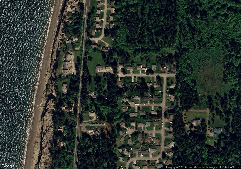
Map
Nearby Homes
- 2507 W Beach Rd
- 2511 W Beach Rd
- 2029 W Beach Rd
- 2575 W Beach Rd
- 2585 W Beach Rd
- 1975 Island View Rd
- 2597 W Beach Rd
- 2629 W Beach Rd
- 1930 Fir Woods Place
- 2089 W Beach Rd
- 886 W Beach Rd
- 1911 Peacock Ln
- 2009 October Ln
- 1570 Wieldraayer Rd
- 2049 Zylstra Rd
- 2033 Navy Ln
- 2208 Legato Dr
- 2312 Fairway Ln
- 1540 Carlton Way
- 2917 SW Berwick Dr
- 1977 Buckthorn Rd
- 1982 Fiver Place
- 1974 Fiver Place
- 1973 Buckthorn Rd
- 1976 Buckthorn Rd
- 1982 Buckthorn Rd
- 1979 Fiver Place
- 1969 Buckthorn Rd
- 1966 Fiver Place
- 1984 Buckthorn Rd
- 1970 Buckthorn Rd
- 1985 Buckthorn Rd
- 1971 Fiver Place
- 1967 Fiver Place
- 1965 Buckthorn Rd
- 1960 Fiver Place
- 1982 Copse Lonnin Place
- 1966 Buckthorn Rd
- 2011 Sandusky Rd
- 1976 Copse Lonnin Place