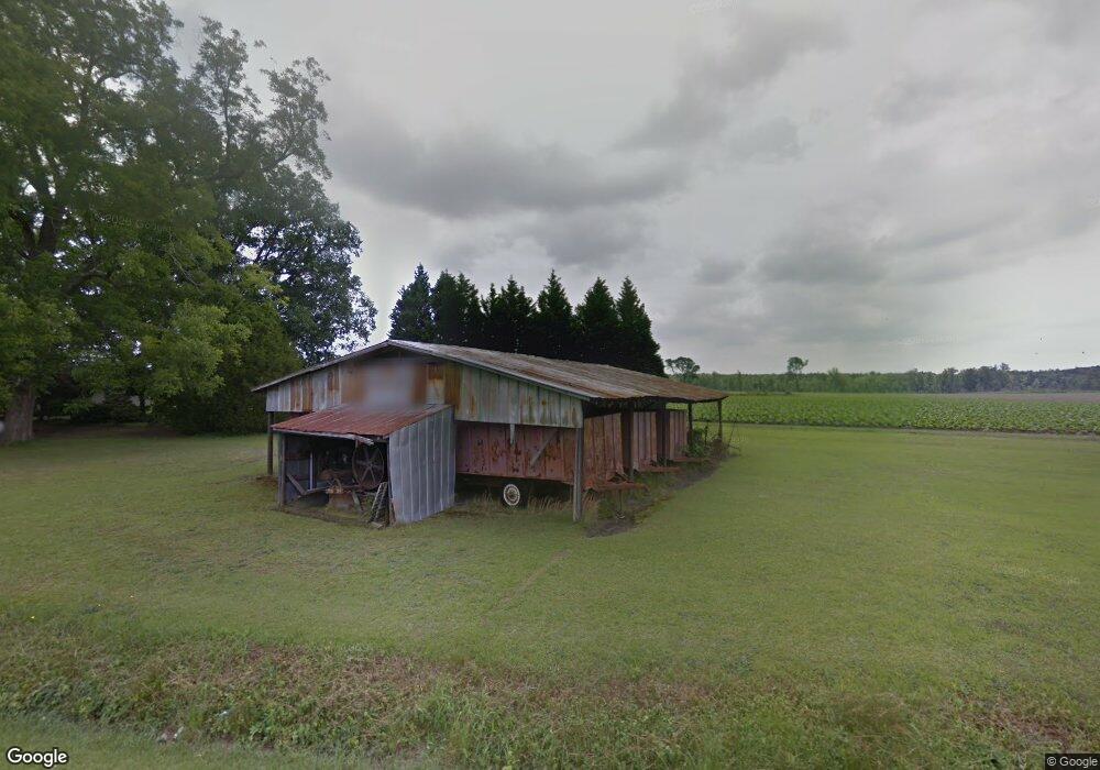
1981 Garrett Rd Williamston, NC 27892
Estimated Value: $213,000 - $805,763
3
Beds
1
Bath
1,736
Sq Ft
$250/Sq Ft
Est. Value
About This Home
This home is located at 1981 Garrett Rd, Williamston, NC 27892 and is currently estimated at $433,921, approximately $249 per square foot. 1981 Garrett Rd is a home with nearby schools including Williamston Primary School, E.J. Hayes Elementary School, and Riverside Middle School.
Ownership History
Date
Name
Owned For
Owner Type
Purchase Details
Closed on
Mar 15, 2021
Sold by
Bowers Kimberly Dawn and Hansen Gerald C
Bought by
Edmonds David E and Edmonds Lori Kay
Current Estimated Value
Purchase Details
Closed on
Jun 12, 2014
Sold by
Bowers Kimberly Dawn and Hansen Gerald C
Bought by
Pierce James L and Pierce Jill E
Create a Home Valuation Report for This Property
The Home Valuation Report is an in-depth analysis detailing your home's value as well as a comparison with similar homes in the area
Home Values in the Area
Average Home Value in this Area
Purchase History
| Date | Buyer | Sale Price | Title Company |
|---|---|---|---|
| Edmonds David E | $17,500 | None Available | |
| Edmonds David E | $17,500 | None Available | |
| Edmonds David E | $17,500 | None Available | |
| Pierce James L | $1,000 | None Available | |
| Pierce James L | $1,000 | None Available | |
| Pierce James L | $1,000 | None Available |
Source: Public Records
Tax History
| Year | Tax Paid | Tax Assessment Tax Assessment Total Assessment is a certain percentage of the fair market value that is determined by local assessors to be the total taxable value of land and additions on the property. | Land | Improvement |
|---|---|---|---|---|
| 2025 | $2,504 | $606,640 | $465,530 | $141,110 |
| 2024 | $1,852 | $549,230 | $495,030 | $54,200 |
| 2023 | $1,839 | $549,230 | $495,030 | $54,200 |
| 2022 | $1,839 | $549,230 | $0 | $0 |
| 2021 | $1,934 | $549,230 | $495,030 | $54,200 |
| 2020 | $1,844 | $559,810 | $505,610 | $54,200 |
| 2019 | $1,844 | $187,875 | $0 | $0 |
| 2018 | $1,807 | $187,875 | $0 | $0 |
| 2017 | $1,807 | $187,875 | $0 | $0 |
| 2015 | $1,614 | $176,959 | $0 | $0 |
| 2014 | $1,593 | $176,959 | $0 | $0 |
| 2012 | $1,494 | $177,640 | $0 | $0 |
Source: Public Records
Map
Nearby Homes
- 1111 Prison Camp Rd
- 00 Santree Dr
- 1420 Lum Brown Rd
- 1020 Dixie Trail
- 107 S McCaskey Rd
- 303 Roberson Dr
- 212 Sunset Dr
- 203 N Park Ave
- 200 1st St
- 8001 W Main St
- 106 Carolina Ave
- 1005 Pinecrest St
- 2630 Prison Camp Rd
- 203 Faulk St
- 1046 Mockingbird Rd
- 9249 Prison Camp Rd
- 3 Planters Ln
- 817 W Main St
- 803 W Church St
- 1089 White Oak Dr
- 2152 Garrett Rd
- 1867 Garrett Rd
- 1298 Zeke Rhodes Ln
- 1226 Zeke Rhodes Ln
- 2273 Garrett Rd
- 1140 Zeke Rhodes Ln
- 2295 Garrett Rd
- 1072 Cedar Hill Dr
- 1010 Cedar Hill Dr
- 1046 Cedar Hill Dr
- 1090 Cedar Hill Dr
- 1124 Cedar Hill Dr
- 1156 Cedar Hill Dr
- 1182 Cedar Hill Dr
- 2361 Garrett Rd
- 1102 Zeke Rhodes Ln
- 1011 Cedar Hill Dr
- 1045 Cedar Hill Dr
- 1210 Cedar Hill Dr
- 1071 Cedar Hill Dr
Your Personal Tour Guide
Ask me questions while you tour the home.