1981 Highway 100 Centerville, TN 37033
Estimated Value: $292,000 - $482,000
Studio
2
Baths
1,644
Sq Ft
$238/Sq Ft
Est. Value
About This Home
This home is located at 1981 Highway 100, Centerville, TN 37033 and is currently estimated at $391,218, approximately $237 per square foot. 1981 Highway 100 is a home located in Hickman County with nearby schools including Centerville Elementary School, Centerville Intermediate School, and Hickman County Middle School.
Ownership History
Date
Name
Owned For
Owner Type
Purchase Details
Closed on
Dec 12, 2013
Sold by
Hudspeth Betty J
Bought by
Long Mary Melanie and Long Douglas E
Current Estimated Value
Home Financials for this Owner
Home Financials are based on the most recent Mortgage that was taken out on this home.
Original Mortgage
$140,000
Outstanding Balance
$36,651
Interest Rate
3.4%
Mortgage Type
VA
Estimated Equity
$354,567
Purchase Details
Closed on
Dec 2, 2011
Sold by
Prince Joe
Bought by
Long Doug and Long Mary
Purchase Details
Closed on
Feb 18, 2011
Sold by
Williams Cissy J
Bought by
Prince Joe
Purchase Details
Closed on
Oct 25, 2010
Sold by
Self Randy
Bought by
Williams Cissy J
Purchase Details
Closed on
Oct 14, 2010
Sold by
Ray Jason
Bought by
Sclf Randy
Create a Home Valuation Report for This Property
The Home Valuation Report is an in-depth analysis detailing your home's value as well as a comparison with similar homes in the area
Home Values in the Area
Average Home Value in this Area
Purchase History
| Date | Buyer | Sale Price | Title Company |
|---|---|---|---|
| Long Mary Melanie | $140,000 | -- | |
| Long Doug | $56,380 | -- | |
| Prince Joe | $62,500 | -- | |
| Williams Cissy J | $45,000 | -- | |
| Sclf Randy | $70,475 | -- |
Source: Public Records
Mortgage History
| Date | Status | Borrower | Loan Amount |
|---|---|---|---|
| Open | Long Mary Melanie | $140,000 |
Source: Public Records
Tax History
| Year | Tax Paid | Tax Assessment Tax Assessment Total Assessment is a certain percentage of the fair market value that is determined by local assessors to be the total taxable value of land and additions on the property. | Land | Improvement |
|---|---|---|---|---|
| 2025 | $2,646 | $67,050 | -- | -- |
| 2024 | $1,564 | $67,050 | -- | -- |
| 2023 | $1,564 | $67,050 | $0 | $0 |
| 2022 | $2,205 | $67,050 | $0 | $0 |
| 2021 | $2,060 | $52,350 | $0 | $0 |
| 2020 | $2,050 | $52,350 | $0 | $0 |
| 2019 | $2,066 | $52,350 | $0 | $0 |
| 2018 | $1,466 | $52,350 | $0 | $0 |
| 2017 | $1,326 | $45,100 | $0 | $0 |
| 2016 | $1,841 | $45,100 | $0 | $0 |
| 2014 | $1,245 | $35,259 | $0 | $0 |
Source: Public Records
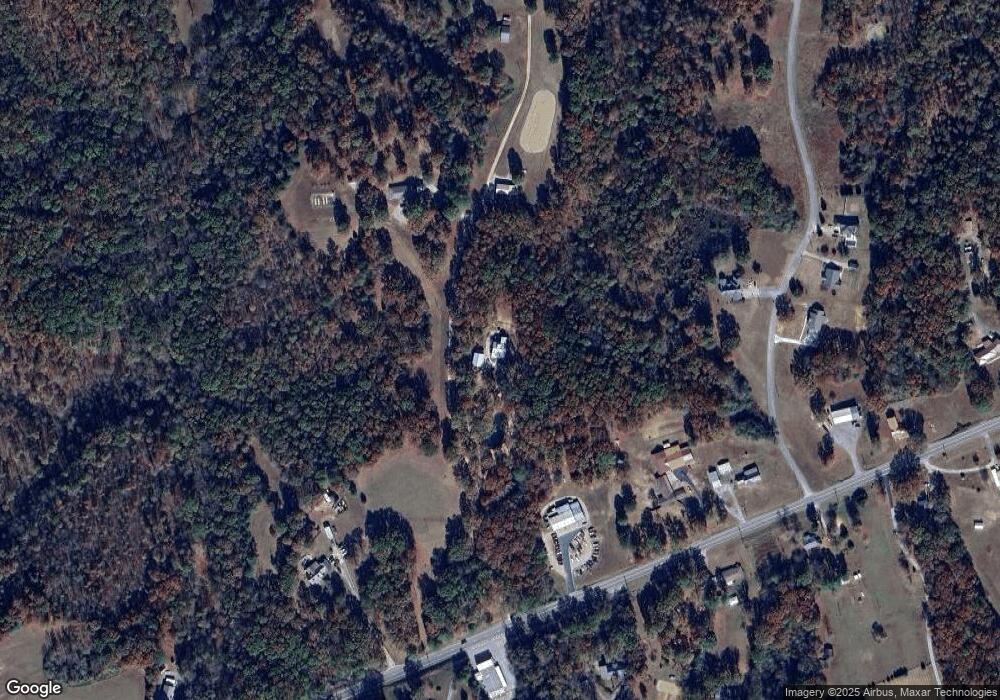
Map
Nearby Homes
- 3213 Carolina Ave
- 2191 Highway 100
- 4207 Moss Hill Dr
- 0 Hwy 48 N
- 2540 Grays Bend Rd
- 0 Bell Branch Rd Unit 26057939
- 0 Bell Branch Rd Unit RTC3054459
- 4310 Surji Cir
- 6223 Bell Branch Trail
- 3117 Country Side Dr
- 1263 Highway 100
- 3011 Green Hill Dr
- 1310 W Haley's Creek Rd
- 200 Bulldog Blvd
- 0 Chestnut St
- 1416 Oakmont Cir
- 1421 Oakmont Cir
- 5702 Fox Haven Dr
- 722 Hickory St
- 2862 Hillcrest Dr
- 2007 Tennessee 100
- 2007 Highway 100
- 2071 Highway 100
- 2013 Highway 100
- 1909 Highway 100
- 2008 Tennessee 100
- 2008 Tennessee 100
- 1986 Tennessee 100
- 1986 Tennessee 100
- 1986 Tennessee 100
- 1986 Tennessee 100
- 2008 Highway 100
- 2008 Highway 100
- 1986 Highway 100
- 10 Carolina Ave
- 3213 Caroline Ave
- 000 Caroline Ave
- 3198 Carolina Ave
- 3210 Caroline Ave
- 1998 Highway 100
Your Personal Tour Guide
Ask me questions while you tour the home.