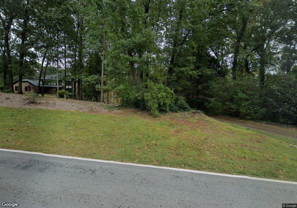
1981 Lilburn Stone Mountain Rd Stone Mountain, GA 30087
Estimated Value: $506,892 - $606,000
4
Beds
3
Baths
2,992
Sq Ft
$186/Sq Ft
Est. Value
About This Home
This home is located at 1981 Lilburn Stone Mountain Rd, Stone Mountain, GA 30087 and is currently estimated at $556,973, approximately $186 per square foot. 1981 Lilburn Stone Mountain Rd is a home located in DeKalb County with nearby schools including Smoke Rise Elementary School, Tucker Middle School, and Tucker High School.
Ownership History
Date
Name
Owned For
Owner Type
Purchase Details
Closed on
Jun 16, 2010
Sold by
Wachovia Bk Na
Bought by
Revas Kirk
Current Estimated Value
Home Financials for this Owner
Home Financials are based on the most recent Mortgage that was taken out on this home.
Original Mortgage
$144,458
Outstanding Balance
$97,768
Interest Rate
5.25%
Mortgage Type
FHA
Estimated Equity
$459,205
Purchase Details
Closed on
Oct 2, 2007
Sold by
Cook Dawn A
Bought by
Wachovia Bank Na
Purchase Details
Closed on
Jan 15, 2003
Sold by
Glaude John C
Bought by
Cook Dawn A
Home Financials for this Owner
Home Financials are based on the most recent Mortgage that was taken out on this home.
Original Mortgage
$203,300
Interest Rate
5.95%
Mortgage Type
New Conventional
Create a Home Valuation Report for This Property
The Home Valuation Report is an in-depth analysis detailing your home's value as well as a comparison with similar homes in the area
Home Values in the Area
Average Home Value in this Area
Purchase History
| Date | Buyer | Sale Price | Title Company |
|---|---|---|---|
| Revas Kirk | $132,000 | -- | |
| Wachovia Bank Na | $40,393 | -- | |
| Cook Dawn A | $214,000 | -- |
Source: Public Records
Mortgage History
| Date | Status | Borrower | Loan Amount |
|---|---|---|---|
| Open | Revas Kirk | $144,458 | |
| Previous Owner | Cook Dawn A | $203,300 |
Source: Public Records
Tax History Compared to Growth
Tax History
| Year | Tax Paid | Tax Assessment Tax Assessment Total Assessment is a certain percentage of the fair market value that is determined by local assessors to be the total taxable value of land and additions on the property. | Land | Improvement |
|---|---|---|---|---|
| 2025 | $5,187 | $198,560 | $45,920 | $152,640 |
| 2024 | $5,343 | $203,160 | $45,920 | $157,240 |
| 2023 | $5,343 | $180,000 | $45,920 | $134,080 |
| 2022 | $3,385 | $122,920 | $30,240 | $92,680 |
| 2021 | $3,367 | $120,800 | $30,240 | $90,560 |
| 2020 | $3,370 | $121,800 | $27,000 | $94,800 |
| 2019 | $3,042 | $108,480 | $27,000 | $81,480 |
| 2018 | $2,744 | $107,400 | $27,000 | $80,400 |
| 2017 | $2,067 | $63,880 | $10,920 | $52,960 |
| 2016 | $2,395 | $79,840 | $10,920 | $68,920 |
| 2014 | $1,810 | $55,240 | $10,880 | $44,360 |
Source: Public Records
Map
Nearby Homes
- 5936 Millstone Ln
- 5798 Musket Ln
- 923 Tall Pine Ct SW
- 1019 Crestwood Ln
- 5774 Vantage Ct
- 5919 Heritage Ln
- 5888 Old Stone Mountain Rd
- 771 Mountainbrooke Cir SW
- 1777 E Gate Trail
- 5632 Stillwater Ct
- 851 Rockbridge Rd SW
- 5523 Bahia Mar Cir
- 6268 Old Stone Mountain Rd
- 1809 Silver Ridge Ct
- 881 Rockbridge Rd SW
- 717 Oxford Ct SW
- 1991 Lilburn Stone Mounta Rd
- 5810 Ashridge Ct
- 5834 Ashridge Ct
- 0 Ashridge Ct Unit 8435516
- 0 Ashridge Ct Unit 8979946
- 0 Ashridge Ct Unit 8546602
- 2001 Lilburn Stone Mountain Rd
- 1988 Lilburn Stone Mountain Rd
- 2033 Silversmith Ln
- 1988 Lilburn-Stone Mountain Rd
- 2011 Lilburn Stone Mountain Rd
- 5825 Ashridge Ct
- 5846 Ashridge Ct
- 5841 Ashridge Ct
- 5805 Ashridge Ct
- 2043 Silversmith Ln
- 5788 Little Oak Trail
- 5858 Ashridge Ct
- 2400 Stone Dr
- 5853 Ashridge Ct