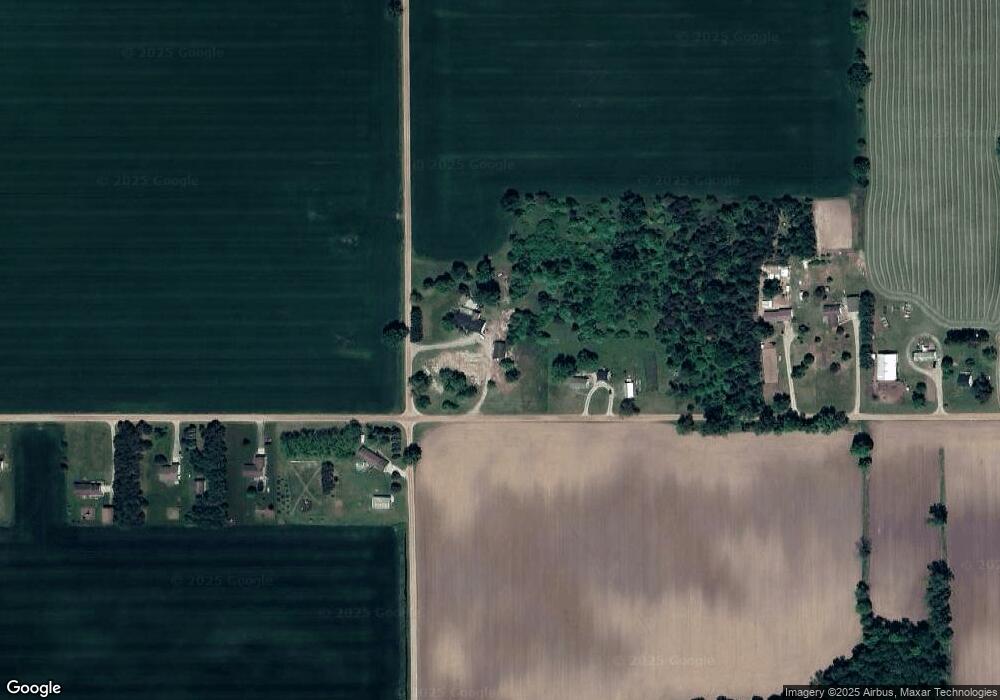
1981 S Watson Rd Saint Johns, MI 48879
Estimated Value: $323,134 - $335,000
3
Beds
3
Baths
1,684
Sq Ft
$195/Sq Ft
Est. Value
About This Home
This home is located at 1981 S Watson Rd, Saint Johns, MI 48879 and is currently estimated at $328,534, approximately $195 per square foot. 1981 S Watson Rd is a home located in Clinton County with nearby schools including Leonard Elementary School, E.E. Knight Elementary School, and Ovid-Elsie Middle School.
Ownership History
Date
Name
Owned For
Owner Type
Purchase Details
Closed on
Jun 28, 2004
Sold by
Jakus Cynthia
Bought by
Jakus Gerald J and Jakus Cynthia
Current Estimated Value
Home Financials for this Owner
Home Financials are based on the most recent Mortgage that was taken out on this home.
Original Mortgage
$251,750
Interest Rate
8.75%
Mortgage Type
New Conventional
Create a Home Valuation Report for This Property
The Home Valuation Report is an in-depth analysis detailing your home's value as well as a comparison with similar homes in the area
Purchase History
| Date | Buyer | Sale Price | Title Company |
|---|---|---|---|
| Jakus Gerald J | -- | Devon Title |
Source: Public Records
Mortgage History
| Date | Status | Borrower | Loan Amount |
|---|---|---|---|
| Closed | Jakus Gerald J | $251,750 |
Source: Public Records
Tax History
| Year | Tax Paid | Tax Assessment Tax Assessment Total Assessment is a certain percentage of the fair market value that is determined by local assessors to be the total taxable value of land and additions on the property. | Land | Improvement |
|---|---|---|---|---|
| 2025 | -- | $154,900 | $24,300 | $130,600 |
| 2024 | $12 | $150,800 | $17,600 | $133,200 |
| 2023 | $1,181 | $141,200 | $0 | $0 |
| 2022 | $2,764 | $123,200 | $16,800 | $106,400 |
| 2021 | $2,695 | $117,900 | $15,600 | $102,300 |
| 2020 | $2,603 | $111,800 | $15,600 | $96,200 |
| 2019 | $2,483 | $104,600 | $11,000 | $93,600 |
| 2018 | $2,395 | $93,000 | $11,000 | $82,000 |
| 2017 | $2,365 | $96,800 | $13,000 | $83,800 |
| 2016 | $2,348 | $91,600 | $12,000 | $79,600 |
| 2015 | -- | $91,300 | $0 | $0 |
| 2011 | -- | $90,600 | $0 | $0 |
Source: Public Records
Map
Nearby Homes
- 2300 N Watson Rd
- 2598 Wildcat Rd
- 2200 S Williams Rd
- 0 E Centerline Rd
- 2843 Trillium Creek Way
- 2844 Trillium Creek Way
- 1465 Superior Dr Unit 17
- 1467 Superior Dr Unit 18
- 2851 Trillium Creek Way
- 2848 Trillium Creek Way
- 1398 Superior Dr Unit 27
- 1396 Superior Dr Unit 28
- 2875 Trillium Creek Way
- 1300 Superior Dr Unit 1
- 2866 Trillium Creek Way
- 2920 Boulder Creek Dr
- 700 E Townsend Rd
- 1197 Sunview Dr Unit 14
- 3585 N Harmon Rd
- 3180 S Bus 127
- 5105 E Townsend Rd
- 4986 E Townsend Rd
- 4910 E Townsend Rd
- 4800 E Townsend Rd
- 5237 E Townsend Rd
- 5277 E Townsend Rd
- 4780 E Townsend Rd
- 5323 E Townsend Rd
- 4760 E Townsend Rd
- 5432 E Townsend Rd
- 4678 Wildcat Rd
- 4494 E Townsend Rd
- 4675 Wildcat Rd
- 5315 Wildcat Rd
- 5555 E Townsend Rd
- 4540 Wildcat Rd
- 4450 E Townsend Rd
- 4526 Wildcat Rd
- 4371 E Townsend Rd
- 4500 Wildcat Rd
Your Personal Tour Guide
Ask me questions while you tour the home.