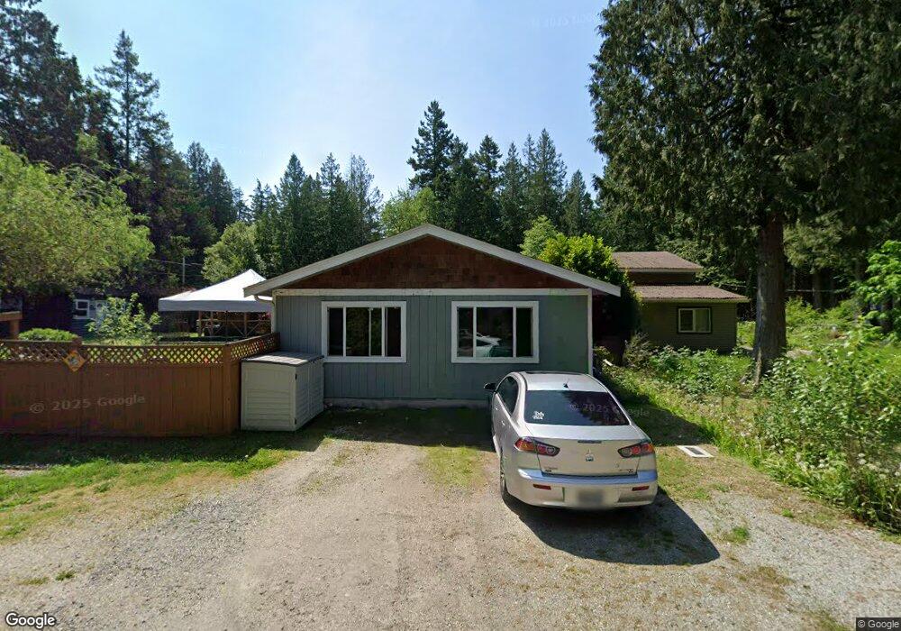
1981 Wellington Rd Point Roberts, WA 98281
Estimated Value: $378,000 - $459,000
3
Beds
1
Bath
1,838
Sq Ft
$230/Sq Ft
Est. Value
About This Home
This home is located at 1981 Wellington Rd, Point Roberts, WA 98281 and is currently estimated at $422,214, approximately $229 per square foot. 1981 Wellington Rd is a home located in Whatcom County with nearby schools including Point Roberts Primary School, Blaine Middle School, and Blaine High School.
Ownership History
Date
Name
Owned For
Owner Type
Purchase Details
Closed on
Mar 31, 2022
Sold by
Sheppard John L and Sheppard Pamala L
Bought by
Milner Holly Marie and Carlson Scott Patrick
Current Estimated Value
Home Financials for this Owner
Home Financials are based on the most recent Mortgage that was taken out on this home.
Original Mortgage
$392,755
Outstanding Balance
$370,512
Interest Rate
4.67%
Mortgage Type
FHA
Estimated Equity
$51,702
Purchase Details
Closed on
Oct 12, 2005
Sold by
Stack Kathryn Anne and Heraty Kathryn Ann
Bought by
Sheppard John and Oakley Pamela
Create a Home Valuation Report for This Property
The Home Valuation Report is an in-depth analysis detailing your home's value as well as a comparison with similar homes in the area
Home Values in the Area
Average Home Value in this Area
Purchase History
| Date | Buyer | Sale Price | Title Company |
|---|---|---|---|
| Milner Holly Marie | $400,000 | Whatcom Land Title | |
| Sheppard John | $125,280 | Whatcom Land Title |
Source: Public Records
Mortgage History
| Date | Status | Borrower | Loan Amount |
|---|---|---|---|
| Open | Milner Holly Marie | $392,755 |
Source: Public Records
Tax History Compared to Growth
Tax History
| Year | Tax Paid | Tax Assessment Tax Assessment Total Assessment is a certain percentage of the fair market value that is determined by local assessors to be the total taxable value of land and additions on the property. | Land | Improvement |
|---|---|---|---|---|
| 2024 | $2,780 | $341,307 | $102,383 | $238,924 |
| 2023 | $2,780 | $331,999 | $93,075 | $238,924 |
| 2022 | $1,925 | $303,195 | $85,000 | $218,195 |
| 2021 | $1,918 | $185,723 | $32,102 | $153,621 |
| 2020 | $1,912 | $171,963 | $29,724 | $142,239 |
| 2019 | $648 | $164,951 | $28,512 | $136,439 |
| 2018 | $440 | $148,290 | $25,632 | $122,658 |
| 2017 | $437 | $141,625 | $24,480 | $117,145 |
| 2016 | $447 | $138,848 | $24,000 | $114,848 |
| 2015 | $1,617 | $144,672 | $32,847 | $111,825 |
| 2014 | -- | $151,243 | $34,340 | $116,903 |
| 2013 | -- | $144,538 | $32,980 | $111,558 |
Source: Public Records
Map
Nearby Homes
- 1931 Sanders Ct Unit 11
- 1871 Johnson Rd
- 0 3 73 Acres Derby Ave
- 103 Goodman Rd
- 2145 Fir St
- 1 Mill Rd
- 2 Mill Rd
- 2138 Benson Rd
- 251 Elizabeth Dr
- 245 Shady Glen Ave
- 2 Benson Rd
- Lot 2 Greenwood Dr
- 8 Heather Way
- 302 Boundary Bay Rd
- 4 Boundary Bay Rd
- Lot 35 Boundary Bay Rd
- 0 6 39 Acres South Beach Rd
- lot 14 Cedar Park Dr Unit 14
- 25 Roosevelt Way
- 1976 Cedar Park Dr
- 1979 Wellington Rd
- 1994 Drake Ave
- 1990 Wellington Rd
- 1986 Wellington Rd
- 1966 Drake Ave
- 1976 Drake Ave
- 34 Nelson Rd
- 1997 Wellington Rd
- 1993 Drake Ave
- 1976 Wellington Rd
- 146 Drake Ave
- 1962 Wellington Rd
- 1989 Drake Ave
- 1969 Raleigh Dr
- 1960 Drake Ave
- 1952 Wellington Rd
- 0 Lot 4 Drake Ave
- 1958 Wellington Rd
- 1995 Drake Ave
- 1999 Drake Ave