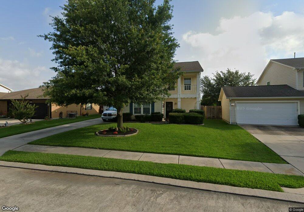
19810 Maple Point Dr Cypress, TX 77433
Estimated Value: $276,000 - $324,000
4
Beds
3
Baths
2,140
Sq Ft
$137/Sq Ft
Est. Value
About This Home
This home is located at 19810 Maple Point Dr, Cypress, TX 77433 and is currently estimated at $292,746, approximately $136 per square foot. 19810 Maple Point Dr is a home located in Harris County with nearby schools including Andre Elementary School, Hopper Middle School, and Cypress Springs High School.
Ownership History
Date
Name
Owned For
Owner Type
Purchase Details
Closed on
May 19, 2003
Sold by
K Hovnanian Of Houston Lp
Bought by
Villegas Manuel D and Villegas Sabrina A
Current Estimated Value
Home Financials for this Owner
Home Financials are based on the most recent Mortgage that was taken out on this home.
Original Mortgage
$119,100
Outstanding Balance
$51,763
Interest Rate
5.79%
Mortgage Type
Purchase Money Mortgage
Estimated Equity
$240,983
Create a Home Valuation Report for This Property
The Home Valuation Report is an in-depth analysis detailing your home's value as well as a comparison with similar homes in the area
Home Values in the Area
Average Home Value in this Area
Purchase History
| Date | Buyer | Sale Price | Title Company |
|---|---|---|---|
| Villegas Manuel D | -- | Texas American Title Company |
Source: Public Records
Mortgage History
| Date | Status | Borrower | Loan Amount |
|---|---|---|---|
| Open | Villegas Manuel D | $119,100 |
Source: Public Records
Tax History Compared to Growth
Tax History
| Year | Tax Paid | Tax Assessment Tax Assessment Total Assessment is a certain percentage of the fair market value that is determined by local assessors to be the total taxable value of land and additions on the property. | Land | Improvement |
|---|---|---|---|---|
| 2025 | $4,197 | $280,032 | $58,265 | $221,767 |
| 2024 | $4,197 | $285,850 | $58,265 | $227,585 |
| 2023 | $4,197 | $299,957 | $55,957 | $244,000 |
| 2022 | $5,670 | $272,538 | $37,195 | $235,343 |
| 2021 | $5,371 | $202,126 | $37,195 | $164,931 |
| 2020 | $4,985 | $182,880 | $32,258 | $150,622 |
| 2019 | $4,796 | $177,658 | $26,333 | $151,325 |
| 2018 | $1,169 | $156,655 | $26,333 | $130,322 |
| 2017 | $4,085 | $156,655 | $26,333 | $130,322 |
| 2016 | $3,714 | $145,225 | $18,762 | $126,463 |
| 2015 | $2,630 | $145,225 | $18,762 | $126,463 |
| 2014 | $2,630 | $122,977 | $18,762 | $104,215 |
Source: Public Records
Map
Nearby Homes
- 7419 Leightonfield Ct
- 19827 Hidden Shadow Ln
- 19823 Creston Cove Ct
- 19915 Sycamore Valley Dr
- 19826 Creston Cove Ct
- 19751 Swan Valley Dr
- 7315 Prairie Village Dr
- 7303 Greenwood Point Dr
- 7826 Maverick Trace Ln
- 7619 Thicket Trace Ct
- 19538 Narcissus Brook Ln
- 19911 Stoney Haven Dr
- 19910 Westcliffe Ct
- 7331 River Pines Dr
- 19603 Yaupon Mist Dr
- 19706 Stanfield Ct
- 7852 Galleon Field Ln
- 19613 Rustic Lake Ln
- 19511 Swan Valley Dr
- 7447 Oakwood Canyon Dr
- 19814 Maple Point Dr
- 19818 Maple Point Dr
- 19827 Lindenwick Ct
- 19802 Maple Point Dr
- 19819 Lindenwick Ct
- 19831 Lindenwick Ct
- 19811 Lindenwick Ct
- 19811 Maple Point Dr
- 19802 Maple Brook Dr
- 19803 Maple Point Dr
- 19815 Maple Point Dr
- 19803 Lindenwick Ct
- 19819 Maple Point Dr
- 7426 Pheasant Grove Dr
- 7422 Pheasant Grove Dr
- 7430 Pheasant Grove Dr
- 19903 Strat Wood Ct
- 19902 Maple Point Ct
- 7418 Pheasant Grove Dr
- 19806 Falcon Hill Ct