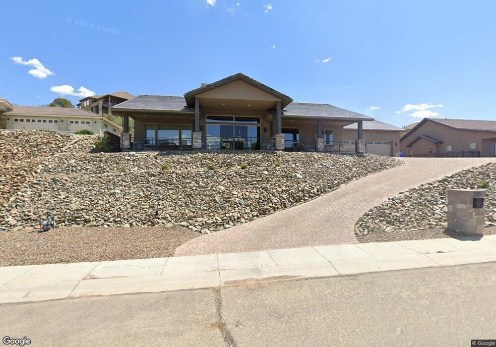
1982 Barrett Dr Prescott, AZ 86301
Estimated Value: $786,000 - $1,140,290
Studio
--
Bath
2,653
Sq Ft
$381/Sq Ft
Est. Value
About This Home
This home is located at 1982 Barrett Dr, Prescott, AZ 86301 and is currently estimated at $1,012,073, approximately $381 per square foot. 1982 Barrett Dr is a home located in Yavapai County with nearby schools including Taylor Hicks School, Granite Mountain Middle School, and Prescott Mile High Middle School.
Ownership History
Date
Name
Owned For
Owner Type
Purchase Details
Closed on
Jun 2, 2020
Sold by
Schaller Christine Marie and Edelman Russell William
Bought by
Edelman Russell W and Schaller Christine M
Current Estimated Value
Purchase Details
Closed on
Oct 10, 2018
Sold by
Hastings Development Inc
Bought by
Edelman Russell and Schaller Christine
Purchase Details
Closed on
Apr 11, 2018
Sold by
Stearns Bank Na
Bought by
Hastings Development Inc
Home Financials for this Owner
Home Financials are based on the most recent Mortgage that was taken out on this home.
Original Mortgage
$45,500
Interest Rate
4.43%
Mortgage Type
Construction
Create a Home Valuation Report for This Property
The Home Valuation Report is an in-depth analysis detailing your home's value as well as a comparison with similar homes in the area
Purchase History
| Date | Buyer | Sale Price | Title Company |
|---|---|---|---|
| Edelman Russell W | -- | None Available | |
| Edelman Russell | $110,000 | Accommodation | |
| Hastings Development Inc | $625,000 | Yavapai Title |
Source: Public Records
Mortgage History
| Date | Status | Borrower | Loan Amount |
|---|---|---|---|
| Previous Owner | Hastings Development Inc | $45,500 |
Source: Public Records
Tax History
| Year | Tax Paid | Tax Assessment Tax Assessment Total Assessment is a certain percentage of the fair market value that is determined by local assessors to be the total taxable value of land and additions on the property. | Land | Improvement |
|---|---|---|---|---|
| 2026 | $3,324 | $92,660 | -- | -- |
| 2024 | $619 | -- | -- | -- |
| 2023 | $619 | $13,885 | $13,885 | $0 |
| 2022 | $607 | $14,528 | $14,528 | $0 |
| 2021 | $633 | $11,817 | $11,817 | $0 |
| 2020 | $634 | $0 | $0 | $0 |
| 2019 | $626 | $0 | $0 | $0 |
| 2018 | $604 | $0 | $0 | $0 |
| 2017 | $576 | $0 | $0 | $0 |
| 2016 | $580 | $0 | $0 | $0 |
| 2015 | -- | $0 | $0 | $0 |
| 2014 | -- | $0 | $0 | $0 |
Source: Public Records
Map
Nearby Homes
- 2117 Colter Bay Ct
- 2121 Colter Bay Ct Unit 33
- 2121 Colter Bay Ct
- 1715 Birdsong
- 1672 Eagle Rock
- 346 E Delano Ave
- 1805 Cedarwood Dr
- 1067 Northridge Dr
- 1250 Pebble Springs
- 1694 Cedarwood Dr
- 1100 E Rosser St
- 500/501 E Rosser St
- 1611 Cloudstone Dr
- 2184 Desert Willow Dr
- 1568 Standing Eagle Dr
- 1585 Estancia Way
- 353 Trailwood Dr
- 1220 Pebble Springs
- 2108 Lakewood Dr
- 272 Honeysuckle Cir
- 1980 Barrett Dr
- 1984 Barrett Dr
- 1989 Barrett Dr
- 1909 Gentry Ln
- 1987 Barrett Dr
- 1991 Barrett Dr
- 1986 Barrett Dr
- 1907 Gentry Ln
- 1993 Barrett Dr
- 129 E Delano Ave
- 129 E Delano Ave Unit 24
- 1913 Gentry Ln
- 127 E Delano Ave
- 127 E Delano Ave
- 129 E Delano Ave
- 110 W Tamarack Ln
- 1992 Barrett Dr
- 131 E Delano Ave
- 131 E Delano Ave
- 131 E Delano Ave Unit 25
Your Personal Tour Guide
Ask me questions while you tour the home.