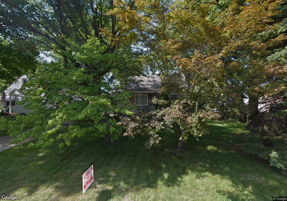
1982 Brownlee Ave Youngstown, OH 44514
Estimated Value: $109,000 - $137,000
3
Beds
2
Baths
1,498
Sq Ft
$83/Sq Ft
Est. Value
About This Home
This home is located at 1982 Brownlee Ave, Youngstown, OH 44514 and is currently estimated at $124,439, approximately $83 per square foot. 1982 Brownlee Ave is a home located in Mahoning County with nearby schools including Paul C. Bunn Elementary School, Chaney High School, and Summit Academy Secondary School - Youngstown.
Ownership History
Date
Name
Owned For
Owner Type
Purchase Details
Closed on
Sep 10, 2018
Sold by
Rich Sharon and Mylonas Elizabeth
Bought by
Damelioi Donald A and Damelioi Donald
Current Estimated Value
Home Financials for this Owner
Home Financials are based on the most recent Mortgage that was taken out on this home.
Original Mortgage
$46,148
Outstanding Balance
$27,259
Interest Rate
4.6%
Mortgage Type
FHA
Estimated Equity
$97,180
Purchase Details
Closed on
Nov 3, 1994
Bought by
Rich Sharon
Purchase Details
Closed on
Dec 19, 1966
Bought by
Schleiter Edith M
Create a Home Valuation Report for This Property
The Home Valuation Report is an in-depth analysis detailing your home's value as well as a comparison with similar homes in the area
Home Values in the Area
Average Home Value in this Area
Purchase History
We collect this data history from publicly available records. To have your information removed, we recommend requesting removal directly through your county’s website.
| Date | Buyer | Sale Price | Title Company |
|---|---|---|---|
| Damelioi Donald A | $47,000 | None Available | |
| Rich Sharon | -- | -- | |
| Schleiter Edith M | -- | -- |
Source: Public Records
Mortgage History
We collect this data history from publicly available records. To have your information removed, we recommend requesting removal directly through your county’s website.
| Date | Status | Borrower | Loan Amount |
|---|---|---|---|
| Open | Damelioi Donald A | $46,148 |
Source: Public Records
Tax History
| Year | Tax Paid | Tax Assessment Tax Assessment Total Assessment is a certain percentage of the fair market value that is determined by local assessors to be the total taxable value of land and additions on the property. | Land | Improvement |
|---|---|---|---|---|
| 2025 | $1,219 | $29,050 | $2,430 | $26,620 |
| 2024 | $1,383 | $29,050 | $2,430 | $26,620 |
| 2023 | $1,373 | $29,050 | $2,430 | $26,620 |
| 2022 | $1,463 | $23,830 | $2,500 | $21,330 |
| 2021 | $1,463 | $23,830 | $2,500 | $21,330 |
| 2020 | $1,471 | $23,830 | $2,500 | $21,330 |
| 2019 | $1,463 | $21,270 | $2,230 | $19,040 |
| 2018 | $1,517 | $21,270 | $2,230 | $19,040 |
| 2017 | $1,514 | $21,270 | $2,230 | $19,040 |
| 2016 | $1,495 | $22,590 | $2,230 | $20,360 |
| 2015 | $1,464 | $22,590 | $2,230 | $20,360 |
| 2014 | $1,454 | $22,590 | $2,230 | $20,360 |
| 2013 | $1,435 | $22,590 | $2,230 | $20,360 |
Source: Public Records
Map
Nearby Homes
- 2001 Brownlee Ave
- 1925 Weston Ave
- 1970 Weston Ave
- 1962 Bancroft Ave
- 0 Weston Ave
- 2003 E Midlothian Blvd
- 1661 Wakefield Ave
- 1934 E Midlothian Blvd
- 0 Crescent Dr Unit 5124984
- 610 Elm St
- 2025 Pointview Ave
- 1579 Wakefield Ave
- 2016 Pointview Ave
- 1549 Medford Ave
- 414 10th St
- 541 Lincoln St
- 515 Lincoln Ave
- 1546 Meadowbrook Ave
- 1913 Country Club Ave
- 5007 Sheridan Rd
- 1974 Brownlee Ave
- 1968 Brownlee Ave
- 2002 Brownlee Ave
- 1977 Medford Ave
- 1971 Medford Ave
- 2008 Brownlee Ave
- 1963 Medford Ave
- 1969 Brownlee Ave
- 1966 Brownlee Ave
- 2001 Medford Ave
- 1959 Medford Ave
- 2020 Brownlee Ave
- 2007 Medford Ave
- 1963 Brownlee Ave
- 1950 Brownlee Ave
- 1955 Medford Ave
- 1959 Brownlee Ave
- 2007 Brownlee Ave
- 2013 Medford Ave
- 1949 Medford Ave
Your Personal Tour Guide
Ask me questions while you tour the home.