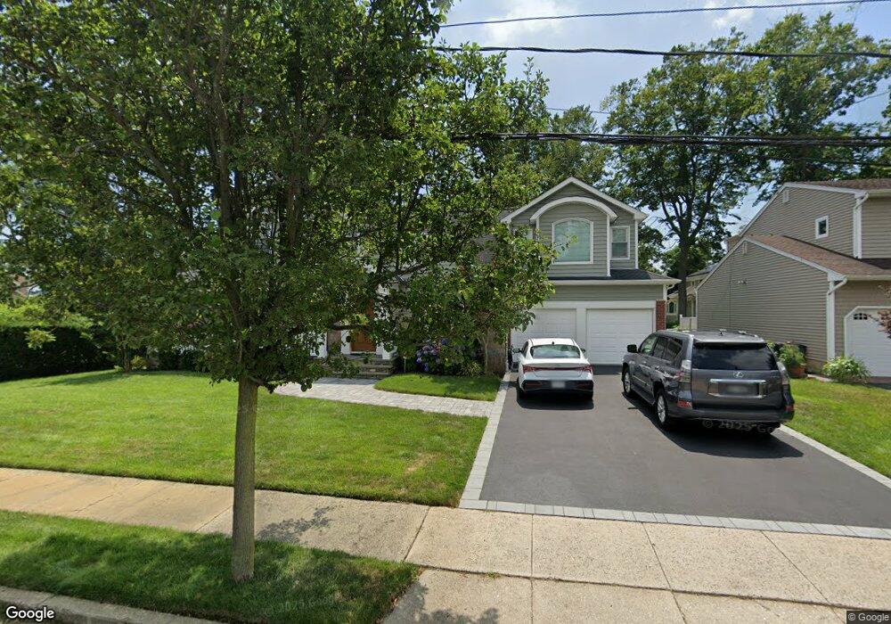
1982 Carman Ct Merrick, NY 11566
Estimated Value: $1,173,033 - $1,260,000
--
Bed
2
Baths
2,653
Sq Ft
$459/Sq Ft
Est. Value
About This Home
This home is located at 1982 Carman Ct, Merrick, NY 11566 and is currently estimated at $1,216,517, approximately $458 per square foot. 1982 Carman Ct is a home located in Nassau County with nearby schools including Merrick Avenue Middle School, Sanford H Calhoun High School, and Grace Christian Academy.
Ownership History
Date
Name
Owned For
Owner Type
Purchase Details
Closed on
Aug 30, 2011
Sold by
Megale Thomas and Megale Lousie
Bought by
Johanson Robert E and Johanson Shari L
Current Estimated Value
Home Financials for this Owner
Home Financials are based on the most recent Mortgage that was taken out on this home.
Original Mortgage
$451,000
Outstanding Balance
$310,607
Interest Rate
4.38%
Mortgage Type
Purchase Money Mortgage
Estimated Equity
$905,910
Create a Home Valuation Report for This Property
The Home Valuation Report is an in-depth analysis detailing your home's value as well as a comparison with similar homes in the area
Home Values in the Area
Average Home Value in this Area
Purchase History
| Date | Buyer | Sale Price | Title Company |
|---|---|---|---|
| Johanson Robert E | $612,500 | -- |
Source: Public Records
Mortgage History
| Date | Status | Borrower | Loan Amount |
|---|---|---|---|
| Open | Johanson Robert E | $451,000 |
Source: Public Records
Tax History Compared to Growth
Tax History
| Year | Tax Paid | Tax Assessment Tax Assessment Total Assessment is a certain percentage of the fair market value that is determined by local assessors to be the total taxable value of land and additions on the property. | Land | Improvement |
|---|---|---|---|---|
| 2025 | $19,670 | $769 | $345 | $424 |
| 2024 | $4,472 | $769 | $345 | $424 |
| 2023 | $17,601 | $769 | $345 | $424 |
| 2022 | $17,601 | $608 | $268 | $340 |
| 2021 | $24,486 | $585 | $258 | $327 |
| 2020 | $17,686 | $898 | $657 | $241 |
| 2019 | $17,082 | $898 | $657 | $241 |
| 2018 | $14,559 | $1,180 | $0 | $0 |
| 2017 | $12,152 | $1,180 | $863 | $317 |
| 2016 | $17,201 | $1,180 | $863 | $317 |
| 2015 | $4,683 | $1,180 | $863 | $317 |
| 2014 | $4,683 | $1,180 | $863 | $317 |
| 2013 | $4,431 | $1,180 | $863 | $317 |
Source: Public Records
Map
Nearby Homes
- 2291 Girard Place
- 2991 Girard Place
- 114 Frankel Blvd
- 49 Princeton Place
- 131 Gregory Ave
- 103 Frankel Blvd
- 65 Lincoln Blvd
- 54 Beverly Rd
- 217 Bayview Ave
- 204 Hewlett Ave
- 174 Babylon Turnpike
- 2077 Byron Rd
- 2083 Elm Place
- 10 Central Pkwy
- 45 Henry St
- 1931 Miller Place
- 179 Commonwealth Ave
- 1674 Birch Dr
- 2608 Montauk Ave
- 138 Hewlett Ave
- 1974 Carman Ct
- 2339 Lindenmere Dr
- 2000 Carman Ct
- 2325 Lindenmere Dr
- 1981 Carman Ct
- 49 Lindenmere Dr
- 1973 Carman Ct
- 1989 Carman Ct
- 2315 Lindenmere Dr
- 2320 Merrick Ave
- 51 Lindenmere Dr
- 5 Lindenmere Dr
- 2300 Merrick Ave
- 1984 City Ave
- 1984 City Ave
- 2306 Lindenmere Dr
- 1978 City Ave
- 44 Lindenmere Dr
- 2318 Lindenmere Dr
- 48 Lindenmere Dr