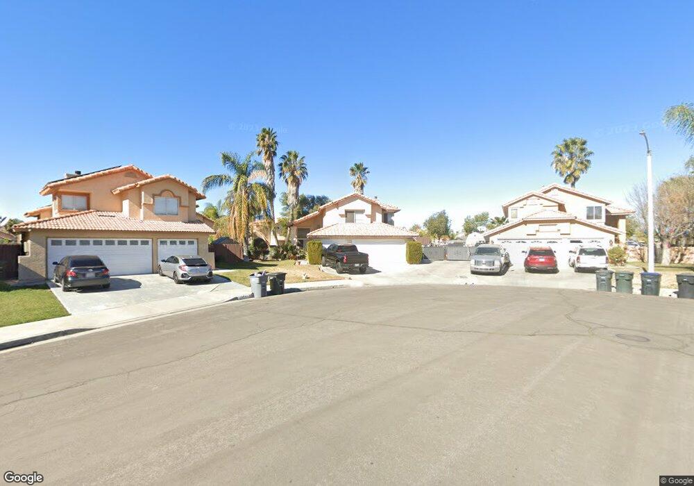
1982 Havasu St Perris, CA 92571
Central Perris NeighborhoodEstimated Value: $502,000 - $557,000
5
Beds
4
Baths
2,054
Sq Ft
$263/Sq Ft
Est. Value
About This Home
This home is located at 1982 Havasu St, Perris, CA 92571 and is currently estimated at $540,361, approximately $263 per square foot. 1982 Havasu St is a home located in Riverside County with nearby schools including Palms Elementary School, Pinacate Middle School, and Perris High School.
Ownership History
Date
Name
Owned For
Owner Type
Purchase Details
Closed on
Dec 17, 2004
Sold by
Wilson Gilbert M
Bought by
Wilson Patricia A
Current Estimated Value
Home Financials for this Owner
Home Financials are based on the most recent Mortgage that was taken out on this home.
Original Mortgage
$185,600
Interest Rate
6.62%
Mortgage Type
Stand Alone Refi Refinance Of Original Loan
Create a Home Valuation Report for This Property
The Home Valuation Report is an in-depth analysis detailing your home's value as well as a comparison with similar homes in the area
Home Values in the Area
Average Home Value in this Area
Purchase History
| Date | Buyer | Sale Price | Title Company |
|---|---|---|---|
| Wilson Patricia A | -- | United Title Company |
Source: Public Records
Mortgage History
| Date | Status | Borrower | Loan Amount |
|---|---|---|---|
| Closed | Wilson Patricia A | $185,600 |
Source: Public Records
Tax History
| Year | Tax Paid | Tax Assessment Tax Assessment Total Assessment is a certain percentage of the fair market value that is determined by local assessors to be the total taxable value of land and additions on the property. | Land | Improvement |
|---|---|---|---|---|
| 2025 | $3,134 | $255,477 | $70,707 | $184,770 |
| 2023 | $3,134 | $245,559 | $67,962 | $177,597 |
| 2022 | $2,990 | $240,745 | $66,630 | $174,115 |
| 2021 | $2,935 | $236,025 | $65,324 | $170,701 |
| 2020 | $2,900 | $233,606 | $64,655 | $168,951 |
| 2019 | $2,837 | $229,027 | $63,388 | $165,639 |
| 2018 | $2,715 | $224,538 | $62,146 | $162,392 |
| 2017 | $3,374 | $220,136 | $60,928 | $159,208 |
| 2016 | $3,376 | $215,821 | $59,734 | $156,087 |
| 2015 | $3,366 | $212,582 | $58,838 | $153,744 |
| 2014 | $3,326 | $208,421 | $57,687 | $150,734 |
Source: Public Records
Map
Nearby Homes
- 377 Aurora Dr
- 2248 Ridge Ct
- 2036 Cherrytree Dr
- 560 Coudures Way
- 1942 Sandcastle Dr
- 544 Turquoise Dr
- 129 Olivetree Dr
- 575 Prairie Way
- 1947 Neptune Dr
- 2292 Tiger Lilly Way
- 21500 Orange Creek Rd
- 723 Anthirium Ave
- 676 Fuchsia Ln
- 1534 Heirloom Ave
- 763 Anthirium Ave
- 1509 Portrait St
- 1510 Ashbury Way
- 1491 Portrait St
- 2063 Willowbrook Ln
- 2143 Willowbrook Ln
- 1994 Havasu St
- 1974 Havasu St
- 1987 Miramar St
- 1979 Miramar St
- 1995 Miramar St
- 1971 Miramar St
- 1966 Havasu St
- 1993 Havasu St
- 1963 Miramar St
- 1954 Havasu St
- 1981 Havasu St
- 1951 Miramar St
- 1973 Havasu St
- 1946 Havasu St
- 296 Superior Ct
- 1965 Havasu St
- 1943 Miramar St
- 350 Citrus Ave
- 1953 Havasu St
- 1938 Havasu St
Your Personal Tour Guide
Ask me questions while you tour the home.