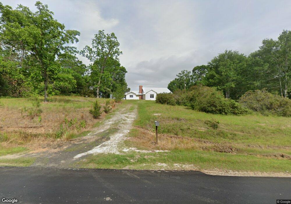
1982 Moseley Rd Broxton, GA 31519
Estimated Value: $94,547 - $199,000
--
Bed
2
Baths
1,152
Sq Ft
$125/Sq Ft
Est. Value
About This Home
This home is located at 1982 Moseley Rd, Broxton, GA 31519 and is currently estimated at $144,387, approximately $125 per square foot. 1982 Moseley Rd is a home located in Coffee County with nearby schools including Broxton-Mary Hayes Elementary School, Coffee Middle School, and Coffee County High School.
Ownership History
Date
Name
Owned For
Owner Type
Purchase Details
Closed on
Aug 28, 2007
Sold by
Day Construction Co Inc
Bought by
Merritt Shannon
Current Estimated Value
Home Financials for this Owner
Home Financials are based on the most recent Mortgage that was taken out on this home.
Original Mortgage
$92,500
Outstanding Balance
$65,560
Interest Rate
6.62%
Mortgage Type
New Conventional
Estimated Equity
$78,827
Purchase Details
Closed on
Jul 19, 2006
Sold by
Wells Fargo Bank
Bought by
Day Construction Co Inc
Create a Home Valuation Report for This Property
The Home Valuation Report is an in-depth analysis detailing your home's value as well as a comparison with similar homes in the area
Home Values in the Area
Average Home Value in this Area
Purchase History
| Date | Buyer | Sale Price | Title Company |
|---|---|---|---|
| Merritt Shannon | $92,500 | -- | |
| Day Construction Co Inc | $17,900 | -- |
Source: Public Records
Mortgage History
| Date | Status | Borrower | Loan Amount |
|---|---|---|---|
| Open | Merritt Shannon | $92,500 |
Source: Public Records
Tax History Compared to Growth
Tax History
| Year | Tax Paid | Tax Assessment Tax Assessment Total Assessment is a certain percentage of the fair market value that is determined by local assessors to be the total taxable value of land and additions on the property. | Land | Improvement |
|---|---|---|---|---|
| 2024 | $648 | $31,510 | $5,014 | $26,496 |
| 2023 | $255 | $31,510 | $5,014 | $26,496 |
| 2022 | $716 | $31,510 | $5,014 | $26,496 |
| 2021 | $716 | $31,510 | $5,014 | $26,496 |
| 2020 | $717 | $31,510 | $5,014 | $26,496 |
| 2019 | $717 | $31,510 | $5,014 | $26,496 |
| 2018 | $717 | $31,510 | $5,014 | $26,496 |
| 2017 | $719 | $31,510 | $5,014 | $26,496 |
| 2016 | $720 | $31,510 | $5,014 | $26,496 |
| 2015 | $724 | $31,510 | $5,014 | $26,496 |
| 2014 | $727 | $31,510 | $5,014 | $26,496 |
Source: Public Records
Map
Nearby Homes
- 744 Lotts Crossing
- 4653 Douglas Braxton Hwy
- 504 Miller Ave
- 407 Broxton West Green Hwy
- 1020 Alabama St N
- 1671 Warren Carter Rd
- 310 Leyland Dr
- 2002 Apache Trail
- 161 Green Tree Dr
- 550 Isaac Brigmond Rd
- 00 Rocky Pond Rd
- 3459 Douglas Broxton Hwy (North Hwy 441)
- 3751 Douglas Braxton Hwy
- 126 Oscar Patton Estates
- 3459 Douglas Braxton Hwy
- 0 Hwy 301 Hwy Unit 1635753
- 423 Fort Valley Rd
- 5495 Cross Rd
- 00 Georgia 206 Connector
- 2004 Indian Trail
- 2032 Moseley Rd
- 1870 Moseley Rd
- 807 Knollwood Rd
- 1400 Moseley Rd
- 570 Knollwood Rd
- 566 Knollwood Rd
- 740 Knollwood Rd
- 1239 Otis Harper Rd
- 503 Knollwood Rd
- 200 Pony Trail
- 1195 Otis Harper Rd
- 1177 Moseley Rd
- 1177 Moseley Rd
- 228 Keven Adam Rd
- 531 Sweat Rd
- 328 Keven Adam Rd
- 154 Keven Adam Rd
- 0 Keven Adam Rd
- 124 Keven Adam Rd Unit 1
- 663 Sweat Rd