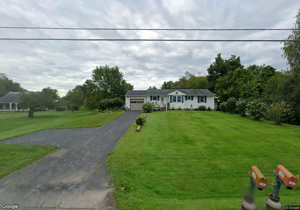
1982 New Boston Rd Chittenango, NY 13037
Estimated Value: $179,000 - $275,000
3
Beds
1
Bath
1,112
Sq Ft
$207/Sq Ft
Est. Value
About This Home
This home is located at 1982 New Boston Rd, Chittenango, NY 13037 and is currently estimated at $229,862, approximately $206 per square foot. 1982 New Boston Rd is a home located in Madison County with nearby schools including Chittenango High School.
Ownership History
Date
Name
Owned For
Owner Type
Purchase Details
Closed on
Aug 29, 2025
Sold by
Arabik Stephen A
Bought by
Arabik Christine M
Current Estimated Value
Purchase Details
Closed on
Jun 6, 2011
Sold by
Devaul Matthew
Bought by
Arabik Stephen
Home Financials for this Owner
Home Financials are based on the most recent Mortgage that was taken out on this home.
Original Mortgage
$56,000
Interest Rate
4.81%
Mortgage Type
Purchase Money Mortgage
Purchase Details
Closed on
Apr 25, 2008
Sold by
French Toby L
Bought by
Robbins Jamie M
Home Financials for this Owner
Home Financials are based on the most recent Mortgage that was taken out on this home.
Original Mortgage
$120,547
Interest Rate
6.22%
Mortgage Type
Purchase Money Mortgage
Purchase Details
Closed on
Nov 22, 2000
Sold by
Retz Martin M
Bought by
French Toby L
Create a Home Valuation Report for This Property
The Home Valuation Report is an in-depth analysis detailing your home's value as well as a comparison with similar homes in the area
Home Values in the Area
Average Home Value in this Area
Purchase History
| Date | Buyer | Sale Price | Title Company |
|---|---|---|---|
| Arabik Christine M | -- | None Listed On Document | |
| Arabik Stephen | $133,000 | Margaret Driscoll | |
| Robbins Jamie M | $121,500 | Lawrence Brown | |
| French Toby L | $86,284 | -- |
Source: Public Records
Mortgage History
| Date | Status | Borrower | Loan Amount |
|---|---|---|---|
| Previous Owner | Arabik Stephen | $56,000 | |
| Previous Owner | Robbins Jamie M | $120,547 |
Source: Public Records
Tax History Compared to Growth
Tax History
| Year | Tax Paid | Tax Assessment Tax Assessment Total Assessment is a certain percentage of the fair market value that is determined by local assessors to be the total taxable value of land and additions on the property. | Land | Improvement |
|---|---|---|---|---|
| 2024 | $5,215 | $132,500 | $25,400 | $107,100 |
| 2023 | $5,168 | $132,500 | $25,400 | $107,100 |
| 2022 | $4,967 | $132,500 | $25,400 | $107,100 |
| 2021 | $4,934 | $132,500 | $25,400 | $107,100 |
| 2020 | $4,199 | $132,500 | $25,400 | $107,100 |
| 2019 | $4,009 | $132,500 | $25,400 | $107,100 |
| 2018 | $4,009 | $132,500 | $25,400 | $107,100 |
| 2017 | $4,022 | $132,500 | $25,400 | $107,100 |
| 2016 | $4,010 | $132,500 | $25,400 | $107,100 |
| 2015 | -- | $132,500 | $25,400 | $107,100 |
| 2014 | -- | $132,500 | $25,400 | $107,100 |
Source: Public Records
Map
Nearby Homes
- 2235 New Boston Rd
- Lot 21 County Route 26
- 7033 Lakeport Rd
- 0 Lucas Rd Unit S1637909
- 2233 Gidran Dr
- 0 Walnut Point Rd Unit S1594837
- 0 Walnut Point Rd Unit S1594838
- 628 Lakeport Rd
- 2369 New York 5
- 500 Lake St
- 311 Bialek Way
- 1283 Fyler Rd
- 308 Lake St
- 608 Forbes Ave
- 138 Hawthorne Way
- 1228 Fyler Rd
- 609 Webber Dr
- 5 Deerfield Rd
- 821 Tuscarora Rd
- 116 Hills St
- 1984 New Boston Rd
- 1967 New Boston Rd
- 1985 New Boston Rd
- 1963 New Boston Rd
- 1998 New Boston Rd
- 1959 New Boston Rd
- 2006 New Boston Rd
- 2001 New Boston Rd
- 2012 New Boston Rd
- 2005 New Boston Rd
- 2018 New Boston Rd
- 2051 New Boston Rd
- 1922 New Boston Rd
- 2038 New Boston Rd
- 2052 New Boston Rd
- 2055 New Boston Rd
- 1883 New Boston Rd
- 2056 New Boston Rd
- 2062 New Boston Rd
- 2078 New Boston Rd