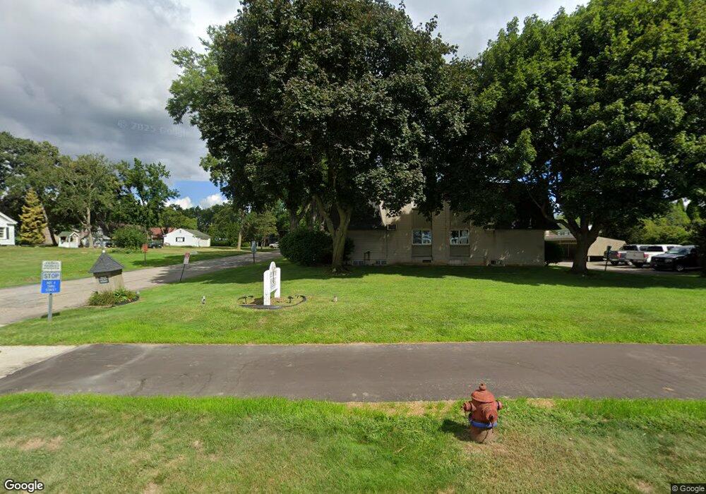
19820 W 12 Mile Rd Unit 23 Southfield, MI 48076
Estimated Value: $91,316 - $113,000
2
Beds
2
Baths
886
Sq Ft
$115/Sq Ft
Est. Value
About This Home
This home is located at 19820 W 12 Mile Rd Unit 23, Southfield, MI 48076 and is currently estimated at $101,579, approximately $114 per square foot. 19820 W 12 Mile Rd Unit 23 is a home located in Oakland County with nearby schools including Alice M. Birney K-8 School, Mcintyre Elementary School, and Farber Hebrew Day School.
Ownership History
Date
Name
Owned For
Owner Type
Purchase Details
Closed on
Jun 28, 2021
Sold by
Lyle James W and James W Lyle Living Trust
Bought by
Sunshine Care Llc
Current Estimated Value
Purchase Details
Closed on
Jun 27, 2018
Sold by
Lyle James W
Bought by
Jewel Rentals 5 Llc
Purchase Details
Closed on
May 31, 2018
Sold by
Israel Netanel
Bought by
Lyle James W
Purchase Details
Closed on
Nov 16, 2010
Sold by
Fischer Margaret A
Bought by
Israel Netanel
Purchase Details
Closed on
Jan 10, 2006
Sold by
Leveque Robert D
Bought by
Leveque Robert D and Robert D Leveque Living Trust
Create a Home Valuation Report for This Property
The Home Valuation Report is an in-depth analysis detailing your home's value as well as a comparison with similar homes in the area
Home Values in the Area
Average Home Value in this Area
Purchase History
| Date | Buyer | Sale Price | Title Company |
|---|---|---|---|
| Sunshine Care Llc | $85,000 | Devon Title Agency | |
| Jewel Rentals 5 Llc | -- | None Available | |
| Lyle James W | $72,500 | None Available | |
| Israel Netanel | $21,000 | None Available | |
| Leveque Robert D | -- | None Available |
Source: Public Records
Tax History Compared to Growth
Tax History
| Year | Tax Paid | Tax Assessment Tax Assessment Total Assessment is a certain percentage of the fair market value that is determined by local assessors to be the total taxable value of land and additions on the property. | Land | Improvement |
|---|---|---|---|---|
| 2022 | $2,279 | $38,490 | $7,450 | $31,040 |
| 2021 | $1,600 | $33,830 | $3,500 | $30,330 |
| 2020 | $1,270 | $33,510 | $3,500 | $30,010 |
| 2018 | $1,150 | $18,140 | $3,500 | $14,640 |
| 2015 | -- | $17,320 | $0 | $0 |
| 2014 | -- | $17,210 | $0 | $0 |
| 2011 | -- | $20,440 | $0 | $0 |
Source: Public Records
Map
Nearby Homes
- 19601 W 12 Mile Rd Unit 102
- 20141 Lacrosse Ave
- 29662 Westbrook Pkwy
- 20351 Lacrosse Ave
- 28450 Tapert Dr
- 29140 Candlewood Ln
- 20120 Covington Pkwy
- 29743 Chelmsford Rd
- 21650 W 11 Mile Rd
- 29214 Candlewood Ln
- 30130 Woodgate Dr
- 18797 Wiltshire Blvd
- 29484 Spring Hill Dr
- 29807 Spring Hill Dr
- 29239 Somerset Dr
- 29848 Rambling Rd
- 27925 Arlington Dr
- 29585 Woodhaven Ln
- 20345 Harbor Ln
- 19245 Eldridge Ln
- 19810 W 12 Mile Rd Unit 17
- 19840 W 12 Mile Rd Unit 37
- 19830 W 12 Mile Rd Unit 26
- 19820 W 12 Mile Rd Unit 21
- 19820 W 12 Mile Rd Unit 20
- 19820 W 12 Mile Rd Unit 23
- 19820 Twelve Mile Rd Unit 20
- 19820 Twelve Mile Rd Unit C, 21
- 19840 W 12 Mile Rd
- 19840 W 12 Mile Rd
- 19840 W 12 Mile Rd
- 19840 W 12 Mile Rd
- 19840 W 12 Mile Rd
- 19840 W 12 Mile Rd
- 19840 W 12 Mile Rd
- 19830 W 12 Mile Rd
- 19830 W 12 Mile Rd
- 19830 W 12 Mile Rd
- 19830 W 12 Mile Rd
- 19830 W 12 Mile Rd